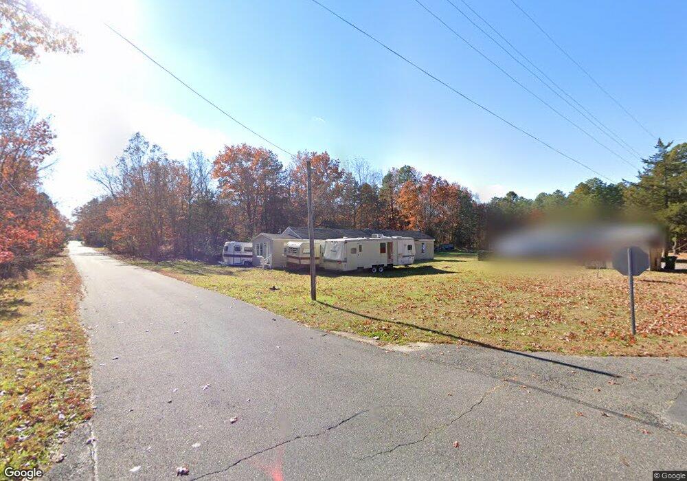
6935 Melvin Newton Blvd Mays Landing, NJ 08330
Estimated Value: $167,283 - $283,000
3
Beds
1
Bath
1,326
Sq Ft
$165/Sq Ft
Est. Value
About This Home
This home is located at 6935 Melvin Newton Blvd, Mays Landing, NJ 08330 and is currently estimated at $219,321, approximately $165 per square foot. 6935 Melvin Newton Blvd is a home located in Atlantic County with nearby schools including Joseph Shaner School, George L. Hess Educational Complex, and William Davies Middle School.
Ownership History
Date
Name
Owned For
Owner Type
Purchase Details
Closed on
Sep 19, 2019
Sold by
Tyson Beville S
Bought by
Jerusalem Holy Ghost School Of Deliveran
Current Estimated Value
Purchase Details
Closed on
Aug 29, 2016
Sold by
Hah0n Michael Me and Harris Michael
Bought by
Harris Michael and Tyson Beville
Purchase Details
Closed on
Jun 8, 2012
Sold by
Ccts Tax Lien I L L C
Bought by
Kgd Properties
Create a Home Valuation Report for This Property
The Home Valuation Report is an in-depth analysis detailing your home's value as well as a comparison with similar homes in the area
Home Values in the Area
Average Home Value in this Area
Purchase History
| Date | Buyer | Sale Price | Title Company |
|---|---|---|---|
| Jerusalem Holy Ghost School Of Deliveran | -- | None Available | |
| Harris Michael | $20,000 | None Available | |
| Kgd Properties | $15,500 | Surety Title |
Source: Public Records
Tax History Compared to Growth
Tax History
| Year | Tax Paid | Tax Assessment Tax Assessment Total Assessment is a certain percentage of the fair market value that is determined by local assessors to be the total taxable value of land and additions on the property. | Land | Improvement |
|---|---|---|---|---|
| 2025 | $2,645 | $77,100 | $25,700 | $51,400 |
| 2024 | $2,645 | $77,100 | $25,700 | $51,400 |
| 2023 | $2,487 | $77,100 | $25,700 | $51,400 |
| 2022 | $2,487 | $77,100 | $25,700 | $51,400 |
| 2021 | $2,482 | $77,100 | $25,700 | $51,400 |
| 2020 | $2,482 | $77,100 | $25,700 | $51,400 |
| 2019 | $2,488 | $77,100 | $25,700 | $51,400 |
| 2018 | $2,401 | $77,100 | $25,700 | $51,400 |
| 2017 | $2,363 | $77,100 | $25,700 | $51,400 |
| 2016 | $2,297 | $77,100 | $25,700 | $51,400 |
| 2015 | $2,219 | $77,100 | $25,700 | $51,400 |
| 2014 | $2,299 | $87,500 | $30,900 | $56,600 |
Source: Public Records
Map
Nearby Homes
- 6917 Market St
- 1362 Annapolis Ave
- 1368 Sitka Ave
- 6422 Strand Ave
- 1516 Thirty Third St
- 6414 Strand Ave
- 0 0 Strand Ave
- 0 San Francisco Ave
- 0 St Petersburg Ave Unit NJAC2011842
- 0 St Petersburg Ave Unit NJAC2011840
- 6839 Harding Hwy
- 0 Division Ave
- 0 Railroad Blvd
- 328 Llewellyn Ave
- 0 South Ave
- 0 Merton Ave Unit NJAC2020566
- 5485 Landis Ave
- 968 Main Ave
- 1306 Harding Hwy
- 0 Prep St
- 1368 Buffalo Ave
- 1376 Buffalo Ave
- 6947 Melvin Newton Blvd
- 1370 Albany Ave
- 6926 Melvin Newton Blvd
- 1369 Mt Vernon Ave
- 6921 Melvin Newton Blvd
- 6954 Melvin Newton Blvd
- 1378 Buffalo Ave
- 1380 Washington Ave
- 0 Mt Vernon Ave Unit 421779
- 0 Mt Vernon Ave Unit 461012
- 1361 Mt Vernon Ave
- 1384 Arlington Ave
- 1384 Buffalo Ave
- 1380 Mt Vernon Ave
- 6428 Market St
- 1388 Arlington Ave
- - Washington Ave
- 1363 Annapolis Ave