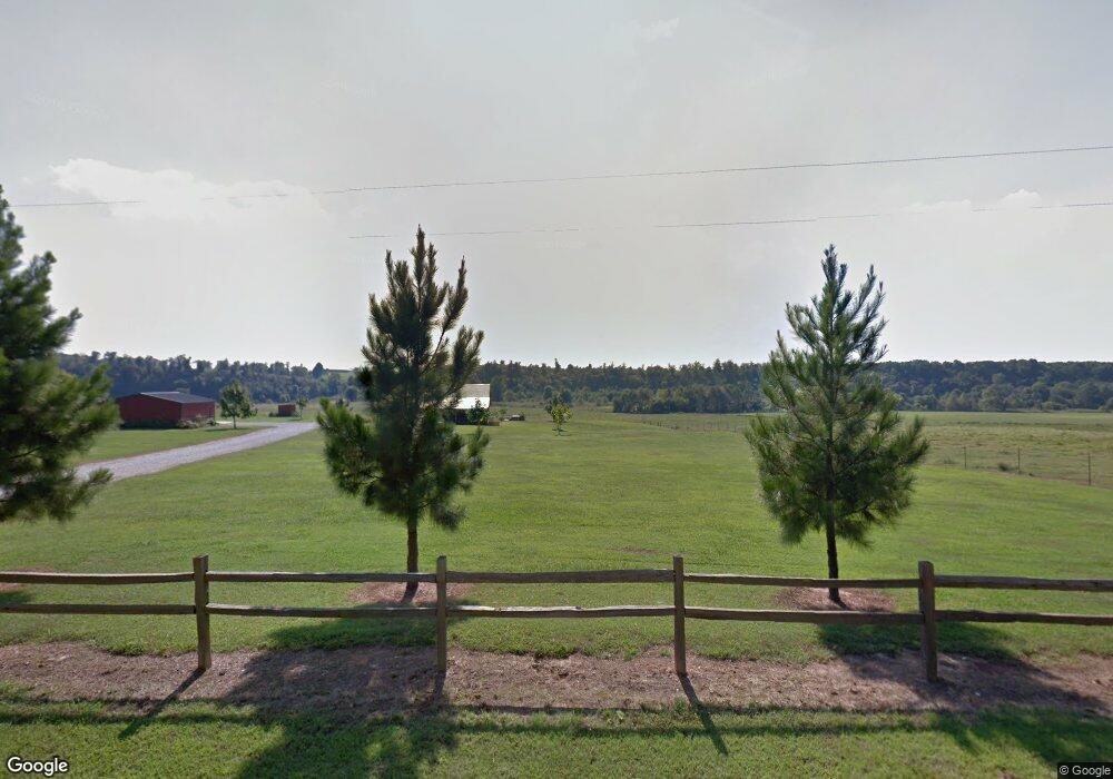
Estimated Value: $456,000 - $509,000
2
Beds
2
Baths
1,600
Sq Ft
$301/Sq Ft
Est. Value
About This Home
This home is located at 69361 E 320 Rd, Grove, OK 74344 and is currently estimated at $481,766, approximately $301 per square foot. 69361 E 320 Rd is a home located in Delaware County with nearby schools including Grove Lower Elementary School, Grove Upper Elementary School, and Grove Middle School.
Ownership History
Date
Name
Owned For
Owner Type
Purchase Details
Closed on
Oct 27, 2022
Sold by
Hartley Gary D and Hartley Nola F
Bought by
Neal Teresa Marie and Neal Dewey William
Current Estimated Value
Purchase Details
Closed on
Dec 1, 2017
Sold by
Carnes Thomas M and Carnes Melanie L
Bought by
Hartley Gary D and Hartley Nola F
Home Financials for this Owner
Home Financials are based on the most recent Mortgage that was taken out on this home.
Original Mortgage
$189,100
Interest Rate
3.88%
Mortgage Type
VA
Create a Home Valuation Report for This Property
The Home Valuation Report is an in-depth analysis detailing your home's value as well as a comparison with similar homes in the area
Purchase History
| Date | Buyer | Sale Price | Title Company |
|---|---|---|---|
| Neal Teresa Marie | $425,000 | Apex Title | |
| Hartley Gary D | $237,000 | Apex Title Northeast Oklahom | |
| Hartley Gary D | -- | Apex Title Northeast Oklahom |
Source: Public Records
Mortgage History
| Date | Status | Borrower | Loan Amount |
|---|---|---|---|
| Previous Owner | Hartley Gary D | $189,100 |
Source: Public Records
Tax History
| Year | Tax Paid | Tax Assessment Tax Assessment Total Assessment is a certain percentage of the fair market value that is determined by local assessors to be the total taxable value of land and additions on the property. | Land | Improvement |
|---|---|---|---|---|
| 2025 | $2,220 | $28,425 | $2,547 | $25,878 |
| 2024 | $2,154 | $27,597 | $2,473 | $25,124 |
| 2023 | $2,154 | $26,793 | $1,775 | $25,018 |
| 2022 | $0 | $22,852 | $1,257 | $21,595 |
| 2021 | $59 | $22,852 | $1,257 | $21,595 |
| 2020 | $0 | $22,838 | $1,257 | $21,581 |
| 2019 | $0 | $22,852 | $1,257 | $21,595 |
Source: Public Records
Map
Nearby Homes
- 68840 E 314 Trail
- 32001 S 700 Rd
- 31609 S 700 Rd
- 210 Route J
- 210 County Highway J
- 208 Route J
- 303 Farm Road Sw9097
- 67301 E 300 Rd
- 208 County Road J
- 70331 E 360 Rd
- 70251 E 360 Rd
- 28901 S 680 Rd
- 201 Benton Rd
- 8ac Farm Road Sw4381
- 1619a Farm Road Sw4381
- 8 Acres Farm Road Sw4381
- 33787 S 650 Rd
- 000 Route Mm
- 1619 Stone Rd
- TBD Route Mm
- 69360 E 320 Rd Grove
- 32359 S 693 Ln
- 31850 S 690 Rd
- 0 690 Unit 11-991
- 0 690 Unit 16-238
- 0 E 330 Rd Unit 10-2424
- 0 E 330 Rd Unit 12-518
- 0 E 330 Rd Unit 11-2433
- 0 E 330 Rd Unit 10-1139
- 0 E 330 Rd Unit 18-642
- 0 E 330 Rd Unit 24-233
- 0 E 330 Rd Unit 5-697
- 0 E 330 Rd Unit 2-2513
- 0 E 330 Rd Unit 22-2178
- 0 E 330 Rd Unit 12-1433
- 0 E 330 Rd Unit 21-694
- 0 E 330 Rd Unit 1181904
- 31911 S 690 Rd
- 4700 N 4700
- E E 324 Rd
Your Personal Tour Guide
Ask me questions while you tour the home.
