Estimated Value: $77,200 - $234,000
3
Beds
1
Bath
1,040
Sq Ft
$172/Sq Ft
Est. Value
About This Home
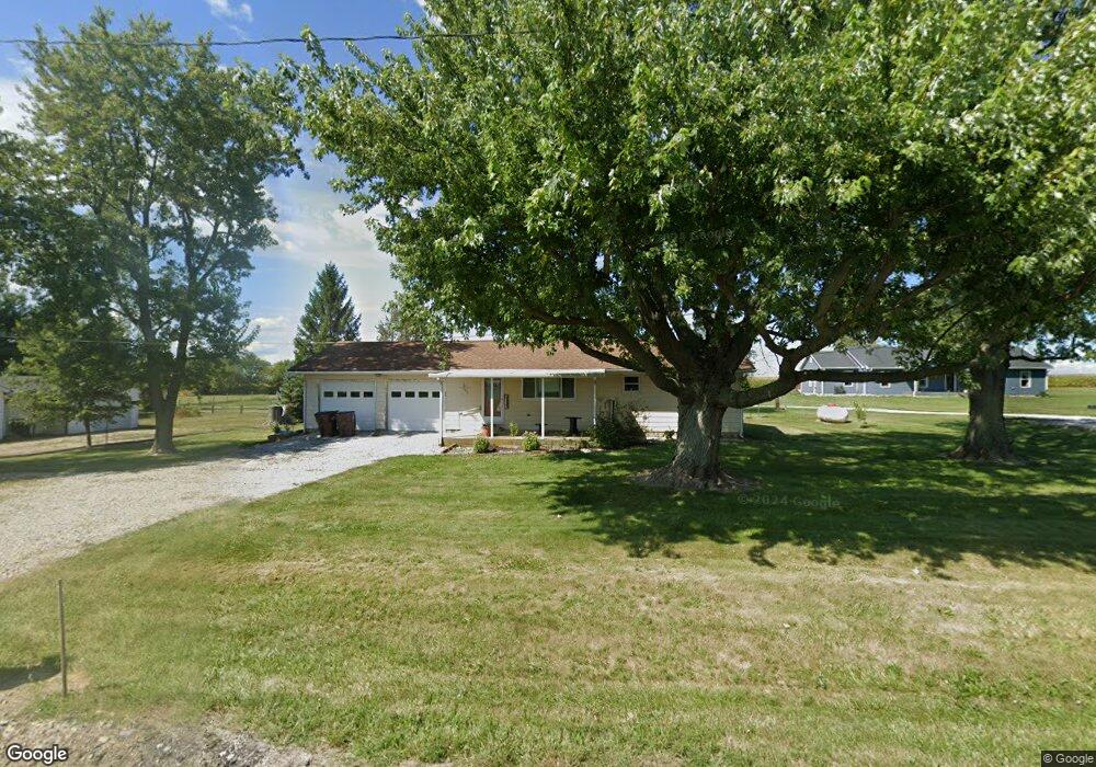
This home is located at 6939 State Route 122 W, Eaton, OH 45320 and is currently estimated at $178,550, approximately $171 per square foot. 6939 State Route 122 W is a home located in Preble County with nearby schools including National Trail Elementary School, National Trail Middle School, and National Trail High School.
Ownership History
Date
Name
Owned For
Owner Type
Purchase Details
Closed on
Apr 28, 2025
Sold by
Eckerle David F and Morris Denise L
Bought by
Mcintosh Rachael N and Mcintosh Matthew T
Current Estimated Value
Home Financials for this Owner
Home Financials are based on the most recent Mortgage that was taken out on this home.
Original Mortgage
$48,000
Outstanding Balance
$47,613
Interest Rate
6.67%
Mortgage Type
Credit Line Revolving
Estimated Equity
$130,937
Create a Home Valuation Report for This Property
The Home Valuation Report is an in-depth analysis detailing your home's value as well as a comparison with similar homes in the area
Home Values in the Area
Average Home Value in this Area
Purchase History
| Date | Buyer | Sale Price | Title Company |
|---|---|---|---|
| Mcintosh Rachael N | -- | None Listed On Document | |
| Mcintosh Rachael N | -- | None Listed On Document |
Source: Public Records
Mortgage History
| Date | Status | Borrower | Loan Amount |
|---|---|---|---|
| Open | Mcintosh Rachael N | $48,000 | |
| Closed | Mcintosh Rachael N | $48,000 |
Source: Public Records
Tax History Compared to Growth
Tax History
| Year | Tax Paid | Tax Assessment Tax Assessment Total Assessment is a certain percentage of the fair market value that is determined by local assessors to be the total taxable value of land and additions on the property. | Land | Improvement |
|---|---|---|---|---|
| 2024 | $875 | $34,550 | $4,970 | $29,580 |
| 2023 | $875 | $34,550 | $4,970 | $29,580 |
| 2022 | $742 | $27,520 | $4,520 | $23,000 |
| 2021 | $782 | $27,520 | $4,520 | $23,000 |
| 2020 | $733 | $27,520 | $4,520 | $23,000 |
| 2019 | $559 | $22,820 | $3,850 | $18,970 |
| 2018 | $578 | $22,820 | $3,850 | $18,970 |
| 2017 | $499 | $22,820 | $3,850 | $18,970 |
| 2016 | $417 | $18,980 | $3,750 | $15,230 |
| 2014 | $570 | $18,980 | $3,750 | $15,230 |
| 2013 | $570 | $23,030 | $3,745 | $19,285 |
Source: Public Records
Map
Nearby Homes
- 1228 W Florence Campbellstown Rd
- 5835 Crawfordsville Campbellstown Rd
- 4623 Crawfordsville Campbellstown Rd
- 7897 4 Mile State Line Rd
- 3127 Upshur Northern Rd
- 4141 Crawfordsville Campbellstown Rd
- 5283 W 35 Us
- 55 Kastrup Dr
- 19 Lakengren Dr
- 103 Fiord Dr
- 221 W Main St
- 0 & 00 Washington Jackson Rd
- 122 Saxon Cove
- 4741 Wolverton Rd
- 45 Long Dr
- 57 Shield Dr
- 60 Lakengren Dr
- 162 Hatchet Dr
- 6945 State Route 122 W
- 6911 State Route 122 W
- 6911 State Route 122 W
- 6911 Ohio 122
- 6825 State Route 122 W
- 6971 State Route 122 W
- 6826 State Route 122 W
- 6793 State Route 122 W
- 6770 State Route 122 W
- 6770 Ohio 122
- 6781 State Route 122 W
- 6751 State Route 122 W
- 6751 Ohio 122
- 6733 State Route 122 W
- 6707 State Route 122 W
- 6681 State Route 122 W
- 6653 State Route 122 W
- 6641 State Route 122 W
- 6475 State Route 122 W
- 6482 State Route 122 W