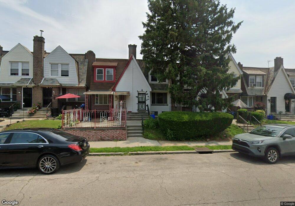
6939 Wister St Philadelphia, PA 19138
West Oak Lane NeighborhoodEstimated Value: $206,503 - $271,000
3
Beds
1
Bath
1,136
Sq Ft
$203/Sq Ft
Est. Value
About This Home
This home is located at 6939 Wister St, Philadelphia, PA 19138 and is currently estimated at $231,126, approximately $203 per square foot. 6939 Wister St is a home located in Philadelphia County with nearby schools including William Rowen School, Gen. Louis Wagner Middle School, and Martin Luther King High School.
Ownership History
Date
Name
Owned For
Owner Type
Purchase Details
Closed on
May 29, 2009
Sold by
Davis Aretia L
Bought by
Robinson Drucilla
Current Estimated Value
Purchase Details
Closed on
Oct 1, 2001
Sold by
Colquitt Christopher
Bought by
Davis Aretia L
Home Financials for this Owner
Home Financials are based on the most recent Mortgage that was taken out on this home.
Original Mortgage
$51,200
Outstanding Balance
$19,866
Interest Rate
6.77%
Estimated Equity
$211,260
Purchase Details
Closed on
Jun 4, 2001
Sold by
Chase William T and Heard Goggan Blair Williams
Bought by
Colquit Christopher
Create a Home Valuation Report for This Property
The Home Valuation Report is an in-depth analysis detailing your home's value as well as a comparison with similar homes in the area
Home Values in the Area
Average Home Value in this Area
Purchase History
| Date | Buyer | Sale Price | Title Company |
|---|---|---|---|
| Robinson Drucilla | -- | None Available | |
| Davis Aretia L | $64,900 | -- | |
| Colquit Christopher | $17,000 | -- |
Source: Public Records
Mortgage History
| Date | Status | Borrower | Loan Amount |
|---|---|---|---|
| Open | Davis Aretia L | $51,200 | |
| Closed | Davis Aretia L | $12,980 |
Source: Public Records
Tax History Compared to Growth
Tax History
| Year | Tax Paid | Tax Assessment Tax Assessment Total Assessment is a certain percentage of the fair market value that is determined by local assessors to be the total taxable value of land and additions on the property. | Land | Improvement |
|---|---|---|---|---|
| 2025 | $2,156 | $190,000 | $38,000 | $152,000 |
| 2024 | $2,156 | $190,000 | $38,000 | $152,000 |
| 2023 | $2,156 | $154,000 | $30,800 | $123,200 |
| 2022 | $1,608 | $154,000 | $30,800 | $123,200 |
| 2021 | $1,608 | $0 | $0 | $0 |
| 2020 | $1,608 | $0 | $0 | $0 |
| 2019 | $1,680 | $0 | $0 | $0 |
| 2018 | $1,502 | $0 | $0 | $0 |
| 2017 | $1,502 | $0 | $0 | $0 |
| 2016 | $1,502 | $0 | $0 | $0 |
| 2015 | $1,438 | $0 | $0 | $0 |
| 2014 | -- | $107,300 | $10,368 | $96,932 |
| 2012 | -- | $14,272 | $2,473 | $11,799 |
Source: Public Records
Map
Nearby Homes
- 6332 E Wister St
- 6824 Rodney St
- 6620 Cornelius St
- 6635 Hollis St
- 6661 Cornelius St
- 2152 Stenton Ave
- 2070 E Haines St
- 2061 Independence St
- 2120 66th Ave
- 2125 Stenton Ave
- 6603 N 21st St
- 1521 E Walnut Ln
- 1344 Narragansett St
- 2115 Stenton Ave
- 2105 Stenton Ave
- 6531 N Beechwood St
- 1544 Beverly Rd
- 6733 N Woodstock St
- 1537 Beverly Rd
- 6731 N Woodstock St