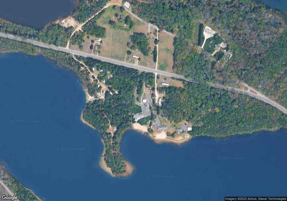
694 Main St Port Norris, NJ 08349
Estimated Value: $210,000 - $337,000
--
Bed
--
Bath
--
Sq Ft
2.17
Acres
About This Home
This home is located at 694 Main St, Port Norris, NJ 08349 and is currently estimated at $280,037. 694 Main St is a home with nearby schools including Downe Township Elementary School.
Ownership History
Date
Name
Owned For
Owner Type
Purchase Details
Closed on
Feb 1, 2022
Sold by
Myers William J
Bought by
Wyers Kyle W
Current Estimated Value
Purchase Details
Closed on
Nov 23, 2011
Sold by
Nocon Family Llc
Bought by
Myers William J
Purchase Details
Closed on
Feb 14, 2011
Sold by
Garrison Frederick J
Bought by
Myers William J
Create a Home Valuation Report for This Property
The Home Valuation Report is an in-depth analysis detailing your home's value as well as a comparison with similar homes in the area
Home Values in the Area
Average Home Value in this Area
Purchase History
| Date | Buyer | Sale Price | Title Company |
|---|---|---|---|
| Wyers Kyle W | -- | None Listed On Document | |
| Myers William J | -- | -- | |
| Myers William J | -- | -- | |
| Myers William J | $30,000 | -- |
Source: Public Records
Tax History Compared to Growth
Tax History
| Year | Tax Paid | Tax Assessment Tax Assessment Total Assessment is a certain percentage of the fair market value that is determined by local assessors to be the total taxable value of land and additions on the property. | Land | Improvement |
|---|---|---|---|---|
| 2025 | $6,921 | $238,900 | $69,100 | $169,800 |
| 2024 | $6,921 | $238,900 | $69,100 | $169,800 |
| 2023 | $6,381 | $238,900 | $69,100 | $169,800 |
| 2022 | $6,202 | $238,900 | $69,100 | $169,800 |
| 2021 | $5,863 | $238,900 | $69,100 | $169,800 |
| 2020 | $5,781 | $238,900 | $69,100 | $169,800 |
| 2019 | $5,695 | $238,900 | $69,100 | $169,800 |
| 2018 | $5,791 | $238,900 | $69,100 | $169,800 |
| 2017 | $5,569 | $238,900 | $69,100 | $169,800 |
| 2016 | $5,574 | $238,900 | $69,100 | $169,800 |
| 2015 | $5,253 | $238,900 | $69,100 | $169,800 |
| 2014 | $4,878 | $238,900 | $69,100 | $169,800 |
Source: Public Records
Map
Nearby Homes
- 554 Old Beaver Dam Rd
- 467 Hickman Ave Unit 469
- 898 Main St
- 912 Main St
- 914 Main St
- 0 Relm Ave Unit NJCB2022890
- 0 Keln Ave Unit NJCB2022904
- 938 Union St
- 1029 Dragston Rd
- 1062 Hanseys Creek Rd
- 1073 Dragston Rd
- 281 Fortescue Rd
- 442 Shaws Mill Rd
- 13 Hall St
- 12 Lores Ln
- 1802 Strawberry Ave
- 873 875 Downe Ave
- 7 Princeton Ave
- 0 James Moore Rd Unit 603001
- 0 James Moore Rd Unit NJCB2027772
