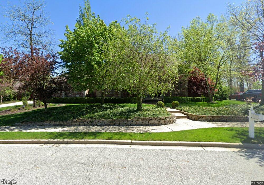
694 Quinlan Ct Crown Point, IN 46307
Estimated Value: $957,875 - $1,120,000
4
Beds
6
Baths
4,577
Sq Ft
$232/Sq Ft
Est. Value
About This Home
This home is located at 694 Quinlan Ct, Crown Point, IN 46307 and is currently estimated at $1,062,969, approximately $232 per square foot. 694 Quinlan Ct is a home located in Lake County with nearby schools including Lake Street Elementary School, Robert Taft Middle School, and Crown Point High School.
Ownership History
Date
Name
Owned For
Owner Type
Purchase Details
Closed on
May 24, 2021
Sold by
Laura L Ray Declaration Of Trust and Ray Laura L
Bought by
David And Laura Ray Living Trust and Ray
Current Estimated Value
Purchase Details
Closed on
Mar 23, 2010
Sold by
Ray David F and Ray Laura L
Bought by
Ray Laura L and Laura Ray Declaration Of Trust
Purchase Details
Closed on
Jan 5, 2005
Sold by
Rohaley Daniel M and Wilcox David J
Bought by
Ray David F and Ray Laura L
Create a Home Valuation Report for This Property
The Home Valuation Report is an in-depth analysis detailing your home's value as well as a comparison with similar homes in the area
Home Values in the Area
Average Home Value in this Area
Purchase History
| Date | Buyer | Sale Price | Title Company |
|---|---|---|---|
| David And Laura Ray Living Trust | -- | None Listed On Document | |
| Ray Laura L | -- | None Available | |
| Ray David F | -- | Ticor Title Insurance |
Source: Public Records
Tax History Compared to Growth
Tax History
| Year | Tax Paid | Tax Assessment Tax Assessment Total Assessment is a certain percentage of the fair market value that is determined by local assessors to be the total taxable value of land and additions on the property. | Land | Improvement |
|---|---|---|---|---|
| 2024 | $23,246 | $894,100 | $108,000 | $786,100 |
| 2023 | $9,486 | $845,800 | $108,000 | $737,800 |
| 2022 | $9,373 | $827,300 | $108,000 | $719,300 |
| 2021 | $8,973 | $792,800 | $107,500 | $685,300 |
| 2020 | $8,759 | $774,300 | $107,500 | $666,800 |
| 2019 | $8,727 | $767,600 | $107,500 | $660,100 |
| 2018 | $11,382 | $741,700 | $107,500 | $634,200 |
| 2017 | $10,839 | $711,900 | $107,500 | $604,400 |
| 2016 | $10,705 | $696,200 | $107,500 | $588,700 |
| 2014 | $10,559 | $695,600 | $107,500 | $588,100 |
| 2013 | $10,543 | $688,000 | $107,500 | $580,500 |
Source: Public Records
Map
Nearby Homes
- 775 Quinlan Ct
- 908 Mary Ellen Dr
- 804 Shannon Dr
- 1140 Hyde Park
- 1089 George Ade Ct
- 1156 Donegal Ln
- 1144 Mary Ellen Dr
- 11341 Lakewood St
- 3709 W 121st Ave
- 11531 Westvalley Dr
- 802 Hayfield Dr
- 4714 W 121st Ave
- 312 Fairfield Dr
- 11606 Westvalley Dr
- 629 W South St
- 334 Ellendale Pkwy
- 321 Bluebird Ave
- 744 S Court St
- 780 Williams Ct
- 1002 Gordon Ct
- 684 Quinlan Ct
- 1050 Foy Ct
- 664 Quinlan Ct
- 1030 Foy Ct
- 679 George Cohen Ct
- 679 George Cohan Ct
- 679 George Cohan Ct
- 654 Quinlan Ct
- Lot 183 Foy Ct
- Lot 184 Foy Ct
- (Lot 183 Foy Ct
- (Lot 184 Foy Ct
- 1025-(Lot 183 Foy Ct
- 1025-Lot 183 Foy Ct
- 681 Quinlan Ct
- 720 Quinlan Ct
- 1020 Foy Ct
- 711 Quinlan Ct
- 671 Quinlan Ct
- 1025 Foy Ct