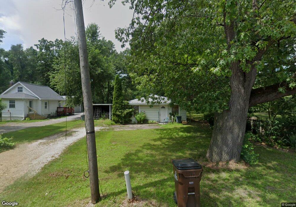
694 S Dettman Rd Jackson, MI 49203
Estimated Value: $92,217 - $152,000
3
Beds
1
Bath
912
Sq Ft
$129/Sq Ft
Est. Value
About This Home
This home is located at 694 S Dettman Rd, Jackson, MI 49203 and is currently estimated at $118,054, approximately $129 per square foot. 694 S Dettman Rd is a home located in Jackson County with nearby schools including East Jackson Elementary School, East Jackson Middle School, and East Jackson High School.
Ownership History
Date
Name
Owned For
Owner Type
Purchase Details
Closed on
Aug 4, 2006
Sold by
Wheeler Robert A and Wheeler Mary Ann
Bought by
Richards Patricia A
Current Estimated Value
Home Financials for this Owner
Home Financials are based on the most recent Mortgage that was taken out on this home.
Original Mortgage
$50,000
Outstanding Balance
$30,166
Interest Rate
6.85%
Mortgage Type
Purchase Money Mortgage
Estimated Equity
$87,888
Purchase Details
Closed on
Aug 1, 2001
Sold by
Morris Helen J and Ritenour Helen J
Bought by
Julian Robert R
Home Financials for this Owner
Home Financials are based on the most recent Mortgage that was taken out on this home.
Original Mortgage
$60,350
Interest Rate
7.15%
Mortgage Type
Purchase Money Mortgage
Create a Home Valuation Report for This Property
The Home Valuation Report is an in-depth analysis detailing your home's value as well as a comparison with similar homes in the area
Home Values in the Area
Average Home Value in this Area
Purchase History
| Date | Buyer | Sale Price | Title Company |
|---|---|---|---|
| Richards Patricia A | $66,000 | Mst | |
| Julian Robert R | $60,900 | -- |
Source: Public Records
Mortgage History
| Date | Status | Borrower | Loan Amount |
|---|---|---|---|
| Open | Richards Patricia A | $50,000 | |
| Previous Owner | Julian Robert R | $60,350 |
Source: Public Records
Tax History Compared to Growth
Tax History
| Year | Tax Paid | Tax Assessment Tax Assessment Total Assessment is a certain percentage of the fair market value that is determined by local assessors to be the total taxable value of land and additions on the property. | Land | Improvement |
|---|---|---|---|---|
| 2025 | $702 | $28,400 | $0 | $0 |
| 2024 | $465 | $27,200 | $0 | $0 |
| 2023 | $442 | $24,800 | $0 | $0 |
| 2022 | $640 | $21,800 | $0 | $0 |
| 2021 | $630 | $22,000 | $0 | $0 |
| 2020 | $623 | $21,200 | $0 | $0 |
| 2019 | $617 | $19,400 | $0 | $0 |
| 2018 | $596 | $18,400 | $0 | $0 |
| 2017 | $522 | $17,800 | $0 | $0 |
| 2016 | $376 | $17,100 | $17,100 | $0 |
| 2015 | $499 | $15,800 | $15,800 | $0 |
| 2014 | $499 | $15,700 | $0 | $0 |
| 2013 | -- | $15,700 | $15,700 | $0 |
Source: Public Records
Map
Nearby Homes
- 698 S Dettman Rd
- 539 S Dettman Rd
- Vl Watts St
- 324 Amos St
- 2718 Page Ave
- 2505 Page Ave
- 0 Page Ave Unit 25019979
- vl Seymour Rd
- Unit 48 Sanctuary Dr
- Unit 55 Sanctuary Dr
- Unit 50 Sanctuary Dr
- Unit 28 Sanctuary Dr
- Unit 53, 5 Sanctuary Dr
- Unit 53 Sanctuary Dr
- Unit 48,49 Sanctuary Dr
- 2016 Pringle Ave
- 210 S Forbes St
- 1139 S Dettman Rd
- 509 S Gorham St
- 2013 Tyson St
- 698 S Dettman Rd
- 702 S Dettman Rd
- 696 S Dettman Rd
- 545 S Dettman Rd
- 714 S Dettman Rd
- 714 S Dettman Rd
- V/L S Dettman Rd
- 703 S Dettman Rd
- 718 S Dettman Rd
- 541 S Dettman Rd
- 3126 Pearlman Rd
- 3126 Pearlman Rd
- 3121 Pearlman Rd
- 726 S Dettman Rd
- 3125 Pearlman Rd
- 537 S Dettman Rd
- 800 S Dettman Rd
- 3130 Perlman St
- 3130 Pearlman Rd
- 531 S Dettman Rd