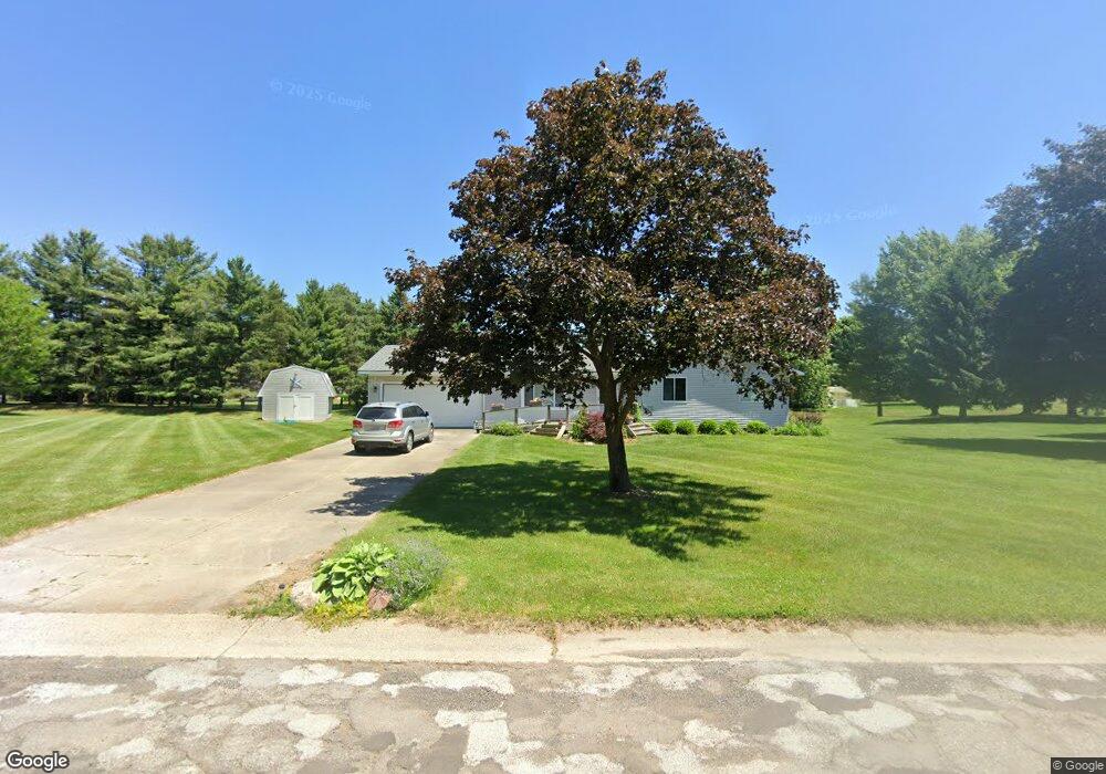
694 Vivian Ln Unit Bldg-Unit Oxford, MI 48371
Estimated Value: $281,753 - $345,000
3
Beds
2
Baths
1,252
Sq Ft
$253/Sq Ft
Est. Value
About This Home
This home is located at 694 Vivian Ln Unit Bldg-Unit, Oxford, MI 48371 and is currently estimated at $316,188, approximately $252 per square foot. 694 Vivian Ln Unit Bldg-Unit is a home located in Oakland County with nearby schools including Oxford Elementary School, Daniel Axford Elementary School, and Oxford Middle School.
Ownership History
Date
Name
Owned For
Owner Type
Purchase Details
Closed on
Jul 17, 2025
Sold by
Poulin Diane
Bought by
Poulin Diane and Poulin Zachary A
Current Estimated Value
Purchase Details
Closed on
Jan 5, 2018
Sold by
Hein Nicholas I and Kein Tenatn Mark
Bought by
Poulin Diane
Home Financials for this Owner
Home Financials are based on the most recent Mortgage that was taken out on this home.
Original Mortgage
$145,600
Interest Rate
3.9%
Mortgage Type
New Conventional
Purchase Details
Closed on
Apr 13, 2017
Sold by
Hein Mark
Bought by
Hein Nicholas L and Hein Mark
Create a Home Valuation Report for This Property
The Home Valuation Report is an in-depth analysis detailing your home's value as well as a comparison with similar homes in the area
Home Values in the Area
Average Home Value in this Area
Purchase History
| Date | Buyer | Sale Price | Title Company |
|---|---|---|---|
| Poulin Diane | -- | None Listed On Document | |
| Poulin Diane | -- | None Listed On Document | |
| Poulin Diane | $182,000 | Transnation Title Clarkston | |
| Hein Nicholas L | -- | None Available |
Source: Public Records
Mortgage History
| Date | Status | Borrower | Loan Amount |
|---|---|---|---|
| Previous Owner | Poulin Diane | $145,600 |
Source: Public Records
Tax History Compared to Growth
Tax History
| Year | Tax Paid | Tax Assessment Tax Assessment Total Assessment is a certain percentage of the fair market value that is determined by local assessors to be the total taxable value of land and additions on the property. | Land | Improvement |
|---|---|---|---|---|
| 2024 | $1,955 | $115,930 | $0 | $0 |
| 2023 | $1,865 | $95,380 | $0 | $0 |
| 2022 | $2,885 | $87,140 | $0 | $0 |
| 2021 | $2,758 | $79,600 | $0 | $0 |
| 2020 | $1,762 | $75,290 | $0 | $0 |
| 2019 | $2,597 | $74,520 | $0 | $0 |
| 2018 | $1,719 | $68,320 | $0 | $0 |
| 2017 | $1,652 | $68,160 | $0 | $0 |
| 2016 | $2,498 | $63,250 | $0 | $0 |
| 2015 | -- | $60,220 | $0 | $0 |
| 2014 | -- | $53,470 | $0 | $0 |
| 2011 | -- | $43,820 | $0 | $0 |
Source: Public Records
Map
Nearby Homes
- 742 Ann Marie Ct
- 801 Seven Oaks Ln
- 3843 Thomas Rd
- 808 Vivian Ln
- 420 W Oakwood Rd
- 00 Victoria Ct
- 0 Victoria Ct
- 111 Amy Lynn Ct
- 110 Amy Lynn Ct
- 5873 Saratoga Dr
- 5853 Saratoga Dr
- 600 Cornerstone Dr
- 0000 Brauer Rd
- 00 Baldwin Rd
- 1310 Brauer Rd
- 5511 Blood Rd
- 5381 Metamora Rd
- 5363 Pebble Beach Dr
- 5330 Pebble Beach Dr
- 1058 Invitational Dr