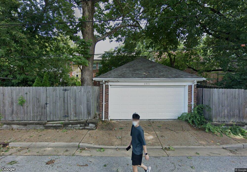
6940 Pershing Ave Saint Louis, MO 63130
Estimated Value: $709,000 - $729,000
5
Beds
4
Baths
2,597
Sq Ft
$278/Sq Ft
Est. Value
About This Home
This home is located at 6940 Pershing Ave, Saint Louis, MO 63130 and is currently estimated at $721,915, approximately $277 per square foot. 6940 Pershing Ave is a home located in St. Louis County with nearby schools including Flynn Park Elementary, Brittany Woods Middle School, and University City High School.
Ownership History
Date
Name
Owned For
Owner Type
Purchase Details
Closed on
Jul 16, 1998
Sold by
Loeb Jeffery C and Loeb Angela H
Bought by
Dwyer Michael and Winchell Patricia A
Current Estimated Value
Home Financials for this Owner
Home Financials are based on the most recent Mortgage that was taken out on this home.
Original Mortgage
$244,000
Interest Rate
6.94%
Create a Home Valuation Report for This Property
The Home Valuation Report is an in-depth analysis detailing your home's value as well as a comparison with similar homes in the area
Home Values in the Area
Average Home Value in this Area
Purchase History
| Date | Buyer | Sale Price | Title Company |
|---|---|---|---|
| Dwyer Michael | -- | -- |
Source: Public Records
Mortgage History
| Date | Status | Borrower | Loan Amount |
|---|---|---|---|
| Closed | Dwyer Michael | $244,000 |
Source: Public Records
Tax History Compared to Growth
Tax History
| Year | Tax Paid | Tax Assessment Tax Assessment Total Assessment is a certain percentage of the fair market value that is determined by local assessors to be the total taxable value of land and additions on the property. | Land | Improvement |
|---|---|---|---|---|
| 2025 | $7,897 | $129,600 | $52,930 | $76,670 |
| 2024 | $7,897 | $112,350 | $39,710 | $72,640 |
| 2023 | $7,887 | $112,350 | $39,710 | $72,640 |
| 2022 | $7,463 | $99,100 | $35,300 | $63,800 |
| 2021 | $7,385 | $99,100 | $35,300 | $63,800 |
| 2020 | $7,710 | $100,910 | $33,120 | $67,790 |
| 2019 | $7,712 | $100,910 | $33,120 | $67,790 |
| 2018 | $6,739 | $81,480 | $33,120 | $48,360 |
| 2017 | $6,753 | $81,480 | $33,120 | $48,360 |
| 2016 | $5,997 | $69,200 | $24,130 | $45,070 |
| 2015 | $5,959 | $69,200 | $24,130 | $45,070 |
| 2014 | $6,922 | $79,100 | $17,350 | $61,750 |
Source: Public Records
Map
Nearby Homes
- 6954 Kingsbury Blvd
- 6921 Waterman Ave
- 6624 Pershing Ave
- 7137 Washington Ave
- 6607 Waterman Ave
- 7120 Lindell Blvd
- 316 Melville Ave
- 7224 Pershing Ave
- 7233 Forsyth Blvd
- 708 Trinity Ave
- 739 Radcliffe Ave
- 605 Westgate Ave Unit 605B
- 603 Westgate Ave Unit 603C
- 603 Westgate Ave Unit 603E
- 710 Leland Ave
- 3 Brentmoor Park
- 7124 Amherst Ave
- 6883 Dartmouth Ave
- 6026 Waterman Ave Unit 3E
- 6736 Vernon Ave
- 6944 Pershing Ave
- 6936 Pershing Ave
- 6946 Pershing Ave
- 6932 Pershing Ave
- 6950 Pershing Ave
- 6926 Pershing Ave
- 6943 Pershing Ave
- 6956 Pershing Ave
- 6947 Pershing Ave
- 6939 Pershing Ave
- 6924 Pershing Ave
- 6951 Pershing Ave
- 6935 Pershing Ave
- 6955 Pershing Ave
- 6931 Pershing Ave
- 6920 Pershing Ave
- 6962 Pershing Ave
- 6959 Pershing Ave
- 6927 Pershing Ave
- 6916 Pershing Ave