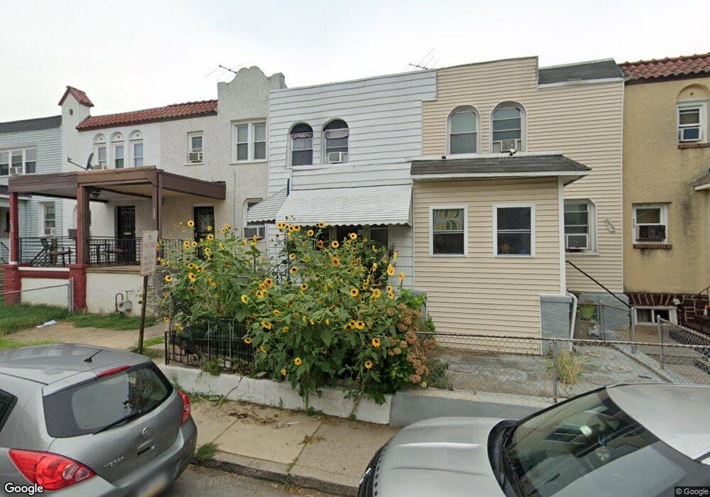
6941 Clinton Rd Upper Darby, PA 19082
Estimated Value: $121,000 - $132,237
2
Beds
1
Bath
914
Sq Ft
$138/Sq Ft
Est. Value
About This Home
This home is located at 6941 Clinton Rd, Upper Darby, PA 19082 and is currently estimated at $126,412, approximately $138 per square foot. 6941 Clinton Rd is a home located in Delaware County with nearby schools including Upper Darby Kdg Center, Upper Darby High School, and Lansdowne Friends School.
Ownership History
Date
Name
Owned For
Owner Type
Purchase Details
Closed on
Oct 26, 2011
Sold by
Strob James M and Sinchi Marco
Bought by
Sinchi Marco
Current Estimated Value
Purchase Details
Closed on
Jul 7, 2004
Sold by
Camarote Daniel S
Bought by
Stroh James M and Sinchi Marco
Home Financials for this Owner
Home Financials are based on the most recent Mortgage that was taken out on this home.
Original Mortgage
$26,666
Interest Rate
5.63%
Mortgage Type
Fannie Mae Freddie Mac
Create a Home Valuation Report for This Property
The Home Valuation Report is an in-depth analysis detailing your home's value as well as a comparison with similar homes in the area
Home Values in the Area
Average Home Value in this Area
Purchase History
| Date | Buyer | Sale Price | Title Company |
|---|---|---|---|
| Sinchi Marco | -- | None Available | |
| Stroh James M | $33,333 | -- |
Source: Public Records
Mortgage History
| Date | Status | Borrower | Loan Amount |
|---|---|---|---|
| Closed | Stroh James M | $26,666 |
Source: Public Records
Tax History Compared to Growth
Tax History
| Year | Tax Paid | Tax Assessment Tax Assessment Total Assessment is a certain percentage of the fair market value that is determined by local assessors to be the total taxable value of land and additions on the property. | Land | Improvement |
|---|---|---|---|---|
| 2025 | $2,679 | $63,340 | $13,560 | $49,780 |
| 2024 | $2,679 | $63,340 | $13,560 | $49,780 |
| 2023 | $2,653 | $63,340 | $13,560 | $49,780 |
| 2022 | $2,582 | $63,340 | $13,560 | $49,780 |
| 2021 | $3,482 | $63,340 | $13,560 | $49,780 |
| 2020 | $2,340 | $36,180 | $12,330 | $23,850 |
| 2019 | $2,299 | $36,180 | $12,330 | $23,850 |
| 2018 | $2,273 | $36,180 | $0 | $0 |
| 2017 | $2,214 | $36,180 | $0 | $0 |
| 2016 | $199 | $36,180 | $0 | $0 |
| 2015 | $199 | $36,180 | $0 | $0 |
| 2014 | $203 | $36,180 | $0 | $0 |
Source: Public Records
Map
Nearby Homes
- 7066 Clover Ln
- 6982 Clinton Rd
- 6858 Clover Ln
- 7000 Greenwood Ave
- 577 Snowden Rd
- 607 Briarcliff Rd
- 703 Briarcliff Rd
- 525 Wiltshire Rd
- 7162 Radbourne Rd
- 7155 Radbourne Rd
- 7123 Seaford Rd
- 517 Wiltshire Rd
- 607 Littlecroft Rd
- 7026 Atlantic Ave
- 669 Long Ln
- 513 Woodcliffe Rd
- 504 Woodcliffe Rd
- 121 Beverly Ave
- 7139 Guilford Rd
- 6243 Carpenter St
- 6939 Clinton Rd
- 6943 Clinton Rd
- 6937 Clinton Rd
- 6945 Clinton Rd
- 6935 Clinton Rd
- 6946 Guilford Rd
- 6933 Clinton Rd
- 6949 Clinton Rd
- 6942 Guilford Rd
- 6940 Guilford Rd
- 6944 Guilford Rd
- 6938 Guilford Rd
- 6947 Clinton Rd
- 6931 Clinton Rd
- 6936 Guilford Rd
- 6951 Clinton Rd
- 6950 Aberdeen Rd
- 6934 Guilford Rd
- 6929 Clinton Rd
- 6953 Clinton Rd