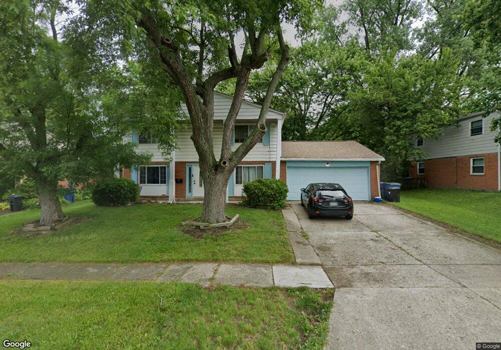
6941 Hubbard Dr Dayton, OH 45424
Estimated Value: $248,000 - $268,000
4
Beds
3
Baths
2,048
Sq Ft
$125/Sq Ft
Est. Value
About This Home
This home is located at 6941 Hubbard Dr, Dayton, OH 45424 and is currently estimated at $255,389, approximately $124 per square foot. 6941 Hubbard Dr is a home located in Montgomery County with nearby schools including Wayne High School and Huber Heights Christian Academy.
Ownership History
Date
Name
Owned For
Owner Type
Purchase Details
Closed on
Sep 15, 2023
Sold by
Taylor Donnzella J
Bought by
Winn Deaysia and Hite Calvin
Current Estimated Value
Home Financials for this Owner
Home Financials are based on the most recent Mortgage that was taken out on this home.
Original Mortgage
$162,011
Outstanding Balance
$158,714
Interest Rate
7.18%
Mortgage Type
Construction
Estimated Equity
$96,675
Purchase Details
Closed on
Oct 15, 1997
Sold by
Hopkins Joseph Douglas and Hopkins Mary Anne
Bought by
Taylor Anthony O and Taylor Donnzella J
Create a Home Valuation Report for This Property
The Home Valuation Report is an in-depth analysis detailing your home's value as well as a comparison with similar homes in the area
Home Values in the Area
Average Home Value in this Area
Purchase History
| Date | Buyer | Sale Price | Title Company |
|---|---|---|---|
| Winn Deaysia | $193,000 | None Listed On Document | |
| Taylor Anthony O | $106,900 | -- |
Source: Public Records
Mortgage History
| Date | Status | Borrower | Loan Amount |
|---|---|---|---|
| Open | Winn Deaysia | $162,011 |
Source: Public Records
Tax History Compared to Growth
Tax History
| Year | Tax Paid | Tax Assessment Tax Assessment Total Assessment is a certain percentage of the fair market value that is determined by local assessors to be the total taxable value of land and additions on the property. | Land | Improvement |
|---|---|---|---|---|
| 2024 | $3,142 | $67,920 | $10,150 | $57,770 |
| 2023 | $3,142 | $67,920 | $10,150 | $57,770 |
| 2022 | $2,612 | $46,790 | $7,000 | $39,790 |
| 2021 | $2,646 | $46,790 | $7,000 | $39,790 |
| 2020 | $3,218 | $46,790 | $7,000 | $39,790 |
| 2019 | $3,121 | $41,790 | $7,000 | $34,790 |
| 2018 | $3,132 | $41,790 | $7,000 | $34,790 |
| 2017 | $3,111 | $41,790 | $7,000 | $34,790 |
| 2016 | $2,961 | $38,760 | $7,000 | $31,760 |
| 2015 | $2,923 | $38,760 | $7,000 | $31,760 |
| 2014 | $2,923 | $38,760 | $7,000 | $31,760 |
| 2012 | -- | $39,200 | $8,750 | $30,450 |
Source: Public Records
Map
Nearby Homes
- 6946 Hubbard Dr
- 6717 Alter Rd
- 6601 Grovehill Dr
- 6245 Longford Rd
- 6800 Cicero Ct
- 6413 Alter Rd
- 7126 Mandrake Dr
- 6811 Highbury Rd
- 6605 Highbury Rd
- 6673 Celestine St
- 7150 Harshmanville Rd
- 7371 Damascus Dr
- 5926 Chambersburg Rd
- 7061 Rio Vista Ct
- 6447 Highbury Rd
- 5625 Copley Cir
- 7222 Brandtvista Ave
- 6701 Springport Way
- 6506 Tellea St
- 6529 Harshmanville Rd
- 6945 Hubbard Dr
- 6937 Hubbard Dr
- 6400 Longford Rd
- 6348 Longford Rd
- 6404 Longford Rd
- 6933 Hubbard Dr
- 6949 Hubbard Dr
- 6942 Hubbard Dr
- 6344 Longford Rd
- 6938 Hubbard Dr
- 6934 Hubbard Dr
- 6408 Longford Rd
- 6340 Longford Rd
- 6953 Hubbard Dr
- 6930 Hubbard Dr
- 6351 Longford Rd
- 6403 Longford Rd
- 6605 Alter Rd
- 6412 Longford Rd
- 6345 Longford Rd