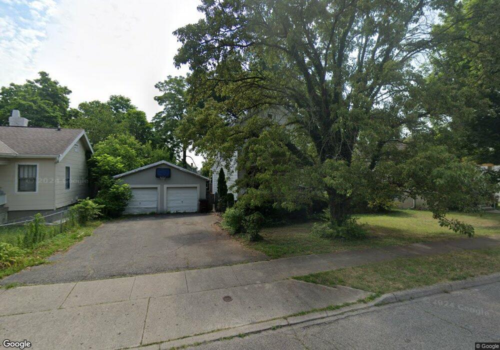
6942 Gilbert Ave Cincinnati, OH 45239
Estimated Value: $130,970 - $186,000
2
Beds
1
Bath
1,090
Sq Ft
$146/Sq Ft
Est. Value
About This Home
This home is located at 6942 Gilbert Ave, Cincinnati, OH 45239 and is currently estimated at $158,743, approximately $145 per square foot. 6942 Gilbert Ave is a home located in Hamilton County with nearby schools including North College Hill Elementary School, North College Hill Middle School, and North College Hill High School.
Ownership History
Date
Name
Owned For
Owner Type
Purchase Details
Closed on
Apr 19, 2010
Sold by
Us Bank National Association Nd
Bought by
Chesney Lance W
Current Estimated Value
Purchase Details
Closed on
Jan 11, 2010
Sold by
Jonson John W
Bought by
Us Bank National Association Nd
Purchase Details
Closed on
May 28, 1999
Sold by
Henson Steven L and Henson Kathleen M
Bought by
Johnson John W and Johnson Kelly L
Home Financials for this Owner
Home Financials are based on the most recent Mortgage that was taken out on this home.
Original Mortgage
$73,885
Interest Rate
6.94%
Mortgage Type
FHA
Create a Home Valuation Report for This Property
The Home Valuation Report is an in-depth analysis detailing your home's value as well as a comparison with similar homes in the area
Home Values in the Area
Average Home Value in this Area
Purchase History
| Date | Buyer | Sale Price | Title Company |
|---|---|---|---|
| Chesney Lance W | $10,000 | Progressive Land Title | |
| Us Bank National Association Nd | $48,750 | Attorney | |
| Johnson John W | $74,000 | -- |
Source: Public Records
Mortgage History
| Date | Status | Borrower | Loan Amount |
|---|---|---|---|
| Previous Owner | Johnson John W | $73,885 |
Source: Public Records
Tax History
| Year | Tax Paid | Tax Assessment Tax Assessment Total Assessment is a certain percentage of the fair market value that is determined by local assessors to be the total taxable value of land and additions on the property. | Land | Improvement |
|---|---|---|---|---|
| 2025 | $1,612 | $30,300 | $7,956 | $22,344 |
| 2024 | $1,612 | $30,300 | $7,956 | $22,344 |
| 2023 | $1,726 | $32,715 | $7,956 | $24,759 |
| 2022 | $1,671 | $22,677 | $7,959 | $14,718 |
| 2021 | $1,665 | $22,677 | $7,959 | $14,718 |
| 2020 | $1,434 | $22,677 | $7,959 | $14,718 |
| 2019 | $1,416 | $19,895 | $6,983 | $12,912 |
| 2018 | $1,415 | $19,895 | $6,983 | $12,912 |
| 2017 | $1,359 | $19,895 | $6,983 | $12,912 |
| 2016 | $463 | $7,116 | $6,780 | $336 |
| 2015 | $457 | $7,116 | $6,780 | $336 |
| 2014 | $456 | $7,116 | $6,780 | $336 |
| 2013 | $480 | $7,732 | $7,368 | $364 |
Source: Public Records
Map
Nearby Homes
- 6961 La Boiteaux Ave
- 6948 Mulberry St
- 6822 Betts Ave
- 1814 Goodman Ave
- 6915 Lois Dr
- 6839 Greismer Ave
- 1838 de Armand Ave
- 6942 Gloria Dr
- 6715 Betts Ave
- 1944 Dallas Ave
- 1626 Flora Ave
- 1701 Goodman Ave
- 1718 Joseph Ct
- 6623 Betts Ave
- 2048 W Galbraith Rd
- 1650 Joseph Ct
- 1826 Sterling Ave
- 1625 Joseph Ct
- 1913 Sterling Ave
- 1541 Southridge Ln
- 6938 Gilbert Ave
- 6948 Gilbert Ave
- 6934 Gilbert Ave
- 6930 Gilbert Ave
- 6950 Gilbert Ave
- 6939 La Boiteaux Ave
- 6943 La Boiteaux Ave
- 6933 La Boiteaux Ave
- 6949 La Boiteaux Ave
- 6928 Gilbert Ave
- 6954 Gilbert Ave
- 6937 Gilbert Ave
- 6951 La Boiteaux Ave
- 6941 Gilbert Ave
- 6953 La Boiteaux Ave
- 6926 La Boiteaux Ave
- 6933 Gilbert Ave
- 6947 Gilbert Ave
- 6924 Gilbert Ave
- 6960 Gilbert Ave
Your Personal Tour Guide
Ask me questions while you tour the home.