6942 Keith Rd Hogansville, GA 30230
Estimated Value: $358,000 - $459,245
3
Beds
4
Baths
1,683
Sq Ft
$246/Sq Ft
Est. Value
About This Home
This home is located at 6942 Keith Rd, Hogansville, GA 30230 and is currently estimated at $414,415, approximately $246 per square foot. 6942 Keith Rd is a home located in Meriwether County with nearby schools including George E. Washington Elementary School.
Ownership History
Date
Name
Owned For
Owner Type
Purchase Details
Closed on
Feb 23, 2005
Sold by
Tyler Rebekah D
Bought by
Carey Joshua G
Current Estimated Value
Purchase Details
Closed on
Jun 18, 2002
Sold by
Keith W Larry
Bought by
Carey Joshua G and Carey Reb
Purchase Details
Closed on
Aug 4, 2000
Sold by
Hunt Willis B
Bought by
Keith W Larry
Purchase Details
Closed on
Jan 1, 1991
Sold by
Keith Larry W Pb 14
Bought by
Hunt Willis B
Create a Home Valuation Report for This Property
The Home Valuation Report is an in-depth analysis detailing your home's value as well as a comparison with similar homes in the area
Home Values in the Area
Average Home Value in this Area
Purchase History
| Date | Buyer | Sale Price | Title Company |
|---|---|---|---|
| Carey Joshua G | $70,000 | -- | |
| Carey Joshua G | $145,000 | -- | |
| Keith W Larry | $150,000 | -- | |
| Hunt Willis B | $75,000 | -- |
Source: Public Records
Tax History Compared to Growth
Tax History
| Year | Tax Paid | Tax Assessment Tax Assessment Total Assessment is a certain percentage of the fair market value that is determined by local assessors to be the total taxable value of land and additions on the property. | Land | Improvement |
|---|---|---|---|---|
| 2024 | $2,808 | $174,204 | $40,080 | $134,124 |
| 2023 | $2,886 | $157,604 | $40,080 | $117,524 |
| 2022 | $4,941 | $172,724 | $40,080 | $132,644 |
| 2021 | $6,051 | $172,604 | $40,120 | $132,484 |
| 2020 | $5,032 | $172,604 | $40,120 | $132,484 |
| 2019 | $4,845 | $167,196 | $40,120 | $127,076 |
| 2018 | $3,615 | $167,196 | $40,120 | $127,076 |
| 2017 | $3,645 | $167,196 | $40,120 | $127,076 |
| 2016 | $3,195 | $167,196 | $40,120 | $127,076 |
| 2015 | $3,192 | $167,196 | $40,120 | $127,076 |
| 2014 | $3,187 | $167,196 | $40,120 | $127,076 |
| 2013 | -- | $167,196 | $40,120 | $127,076 |
Source: Public Records
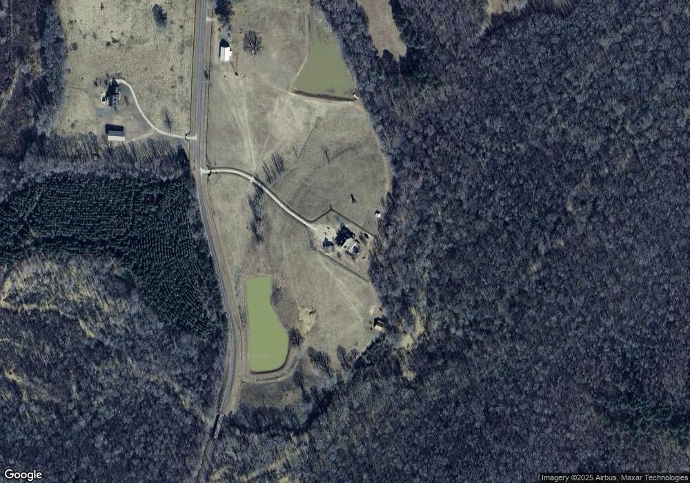
Map
Nearby Homes
- 210 Perkins Place Dr Unit LOT 29
- 213 Perkins Place Dr Unit LOT 23
- 217 Perkins Place Dr Unit LOT 24
- 5418 Forrest Rd
- 120 Delta Downs Ct
- 1501 E Main St
- 323 Lusitano Trace Unit 168
- 7133 Forrest Rd
- 603 Haflinger Rd Unit 22
- 133 Percheron Rd
- 133 Percheron Rd Unit 95
- 605 Haflinger Rd Unit 21
- 131 Percheron Rd
- 131 Percheron Rd Unit 96
- 129 Percheron Rd
- 129 Percheron Rd Unit 97
- 127 Percheron Rd
- 125 Percheron Rd
- 125 Percheron Rd Unit 99
- 128 Percheron Rd Unit 18
- 7183 Keith Rd
- 7181 Keith Rd
- 7374 Keith Rd
- 7299 Keith Rd
- 6261 Keith Rd
- 10911 Highway 100
- 11077 Georgia 100
- 11077 Highway 100
- 6193 Keith Rd
- 11281 Georgia 100
- 11281 Highway 100
- 10515 Highway 100
- 6057 Keith Rd
- 11032 Georgia 100
- 11032 Highway 100
- 3330 Saint Marks Rd
- 10737 Highway 100
- 10818 Highway 100
- 7777 Keith Rd
- 11212 Highway 100