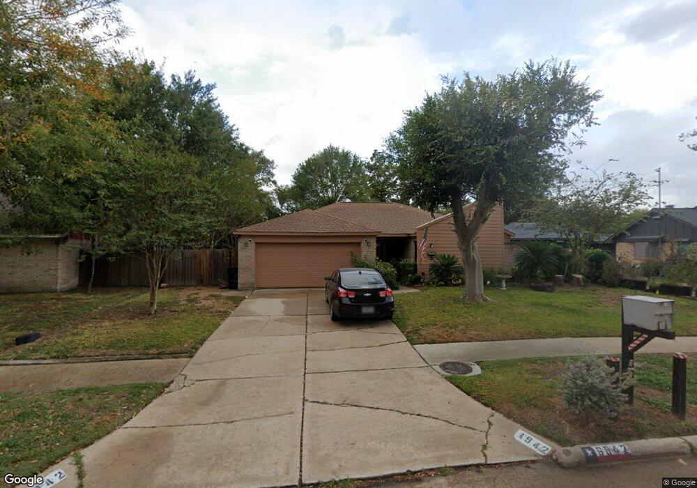
6942 Silver Star Dr Houston, TX 77086
North Houston NeighborhoodEstimated Value: $206,746 - $223,000
3
Beds
2
Baths
1,431
Sq Ft
$152/Sq Ft
Est. Value
About This Home
This home is located at 6942 Silver Star Dr, Houston, TX 77086 and is currently estimated at $217,687, approximately $152 per square foot. 6942 Silver Star Dr is a home located in Harris County with nearby schools including Kujawa EC/Pre-K/K School, Carmichael Elementary School, and Shotwell Middle School.
Ownership History
Date
Name
Owned For
Owner Type
Purchase Details
Closed on
May 24, 2002
Sold by
Jones Michael Paul
Bought by
Jones Velinda G
Current Estimated Value
Home Financials for this Owner
Home Financials are based on the most recent Mortgage that was taken out on this home.
Original Mortgage
$72,800
Interest Rate
6.92%
Mortgage Type
Credit Line Revolving
Purchase Details
Closed on
Oct 18, 2000
Sold by
Jones Tammy Kay
Bought by
Jones Michael Paul
Home Financials for this Owner
Home Financials are based on the most recent Mortgage that was taken out on this home.
Original Mortgage
$58,300
Interest Rate
7.89%
Mortgage Type
Credit Line Revolving
Create a Home Valuation Report for This Property
The Home Valuation Report is an in-depth analysis detailing your home's value as well as a comparison with similar homes in the area
Home Values in the Area
Average Home Value in this Area
Purchase History
| Date | Buyer | Sale Price | Title Company |
|---|---|---|---|
| Jones Velinda G | -- | Houston Title Co | |
| Jones Michael Paul | -- | -- |
Source: Public Records
Mortgage History
| Date | Status | Borrower | Loan Amount |
|---|---|---|---|
| Closed | Jones Velinda G | $72,800 | |
| Closed | Jones Michael Paul | $58,300 |
Source: Public Records
Tax History Compared to Growth
Tax History
| Year | Tax Paid | Tax Assessment Tax Assessment Total Assessment is a certain percentage of the fair market value that is determined by local assessors to be the total taxable value of land and additions on the property. | Land | Improvement |
|---|---|---|---|---|
| 2025 | $2,661 | $194,032 | $40,488 | $153,544 |
| 2024 | $2,661 | $196,929 | $40,488 | $156,441 |
| 2023 | $2,661 | $200,504 | $40,488 | $160,016 |
| 2022 | $3,406 | $168,923 | $34,312 | $134,611 |
| 2021 | $3,089 | $141,666 | $34,312 | $107,354 |
| 2020 | $3,122 | $132,729 | $34,312 | $98,417 |
| 2019 | $2,950 | $126,117 | $17,474 | $108,643 |
| 2018 | $1,013 | $119,637 | $17,474 | $102,163 |
| 2017 | $2,351 | $112,048 | $15,691 | $96,357 |
| 2016 | $2,137 | $100,344 | $15,691 | $84,653 |
| 2015 | $1,488 | $94,783 | $15,691 | $79,092 |
| 2014 | $1,488 | $72,053 | $15,691 | $56,362 |
Source: Public Records
Map
Nearby Homes
- 6911 Silver Star Dr
- 7023 Sandswept Ln
- 10307 Bammel North Houston Rd
- 7002 Sandswept Ln
- 6822 Dusty Dawn Dr
- 10614 Mackenzie Dr
- 7302 Seton Lake Dr
- 6722 Winding Trace Dr
- 7307 Silver Star Dr
- 6830 Desert Rose Ln
- 10711 Heather Hill Dr
- 7218 Winding Trace Dr
- 10723 Mackenzie Dr
- 10306 Jillana Kaye Dr
- 9815 Lonsford Dr
- 6654 Brownie Campbell Rd
- 6703 Deer Ridge Ln
- 7222 Northleaf Dr
- 6615 Winding Trace Dr
- 6630 Brownie Campbell Rd
- 6938 Silver Star Dr
- 6946 Silver Star Dr
- 7103 Cerca Ct
- 7023 Cerca Ct
- 7107 Cerca Ct
- 6934 Silver Star Dr
- 10402 Heather Hill Dr
- 6939 Silver Star Dr
- 10406 Heather Hill Dr
- 10407 Cactus Flower Dr
- 6935 Silver Star Dr
- 10314 Heather Hill Dr
- 7111 Cerca Ct
- 7019 Cerca Ct
- 10411 Cactus Flower Dr
- 10410 Heather Hill Dr
- 6931 Silver Star Dr
- 10310 Heather Hill Dr
- 10415 Cactus Flower Dr
- 7102 Cerca Ct