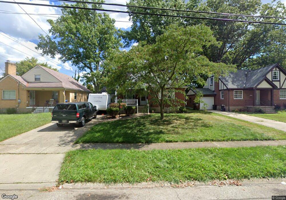
6944 Rob Vern Dr Cincinnati, OH 45239
Estimated Value: $184,205 - $228,000
4
Beds
2
Baths
1,466
Sq Ft
$140/Sq Ft
Est. Value
About This Home
This home is located at 6944 Rob Vern Dr, Cincinnati, OH 45239 and is currently estimated at $204,801, approximately $139 per square foot. 6944 Rob Vern Dr is a home located in Hamilton County with nearby schools including North College Hill Elementary School, North College Hill Middle School, and North College Hill High School.
Ownership History
Date
Name
Owned For
Owner Type
Purchase Details
Closed on
Jul 27, 2001
Sold by
Koch Peter C and Koch Clare M
Bought by
Niehoff Deborah A
Current Estimated Value
Home Financials for this Owner
Home Financials are based on the most recent Mortgage that was taken out on this home.
Original Mortgage
$102,192
Outstanding Balance
$38,036
Interest Rate
7.15%
Mortgage Type
FHA
Estimated Equity
$166,765
Create a Home Valuation Report for This Property
The Home Valuation Report is an in-depth analysis detailing your home's value as well as a comparison with similar homes in the area
Home Values in the Area
Average Home Value in this Area
Purchase History
| Date | Buyer | Sale Price | Title Company |
|---|---|---|---|
| Niehoff Deborah A | $103,000 | First Title Agency Inc |
Source: Public Records
Mortgage History
| Date | Status | Borrower | Loan Amount |
|---|---|---|---|
| Open | Niehoff Deborah A | $102,192 |
Source: Public Records
Tax History
| Year | Tax Paid | Tax Assessment Tax Assessment Total Assessment is a certain percentage of the fair market value that is determined by local assessors to be the total taxable value of land and additions on the property. | Land | Improvement |
|---|---|---|---|---|
| 2025 | $2,520 | $48,556 | $6,892 | $41,664 |
| 2024 | $2,457 | $48,556 | $6,892 | $41,664 |
| 2023 | $2,479 | $48,556 | $6,892 | $41,664 |
| 2022 | $2,399 | $33,537 | $5,642 | $27,895 |
| 2021 | $2,349 | $33,537 | $5,642 | $27,895 |
| 2020 | $2,060 | $33,537 | $5,642 | $27,895 |
| 2019 | $2,017 | $29,418 | $4,949 | $24,469 |
| 2018 | $2,018 | $29,418 | $4,949 | $24,469 |
| 2017 | $1,904 | $29,418 | $4,949 | $24,469 |
| 2016 | $1,983 | $32,442 | $7,144 | $25,298 |
| 2015 | $1,988 | $32,442 | $7,144 | $25,298 |
| 2014 | $1,985 | $32,442 | $7,144 | $25,298 |
| 2013 | $2,049 | $34,511 | $7,599 | $26,912 |
Source: Public Records
Map
Nearby Homes
- 6942 Gloria Dr
- 2048 W Galbraith Rd
- 6915 Lois Dr
- 8724 Neptune Dr
- 2037 Carpenter Dr
- 6916 Noble Ave
- 2335 Bluelark Dr
- 8729 Morningstar Ln
- 2032 Dallas Ave
- 6961 La Boiteaux Ave
- 2351 Mercury Ave
- 8526 Neptune Dr
- 2027 Sundale Ave
- 1944 Dallas Ave
- 8265 Haskell Dr
- 6822 Betts Ave
- 1718 Joseph Ct
- 7310 Forest Ave
- 8228 Haskell Dr
- 1838 de Armand Ave
- 6942 Rob Vern Dr
- 6946 Rob Vern Dr
- 6940 Rob Vern Dr
- 6948 Rob Vern Dr
- 6945 Mar Bev Dr
- 6947 Mar Bev Dr
- 6943 Mar Bev Dr
- 6938 Rob Vern Dr
- 6947 Rob Vern Dr
- 6949 Mar Bev Dr
- 6949 Mar Bev Dr
- 6941 Mar Bev Dr
- 6949 Rob Vern Dr
- 6945 Rob Vern Dr
- 6951 Rob Vern Dr
- 6943 Rob Vern Dr
- 6939 Mar Bev Dr
- 6936 Rob Vern Dr
- 6941 Rob Vern Dr
- 6937 Mar Bev Dr
Your Personal Tour Guide
Ask me questions while you tour the home.