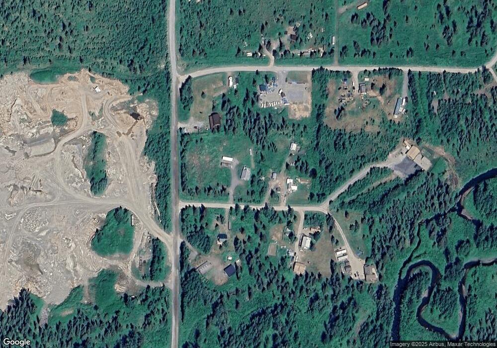
69440 Chris Ct Anchor Point, AK 99556
Estimated Value: $44,000 - $248,000
3
Beds
1
Bath
1,568
Sq Ft
$109/Sq Ft
Est. Value
About This Home
This home is located at 69440 Chris Ct, Anchor Point, AK 99556 and is currently estimated at $170,719, approximately $108 per square foot. 69440 Chris Ct is a home located in Kenai Peninsula Borough with nearby schools including Chapman School and Homer High School.
Ownership History
Date
Name
Owned For
Owner Type
Purchase Details
Closed on
Mar 24, 2021
Sold by
Alaska Usa Fcu
Bought by
Placinta Paul
Current Estimated Value
Purchase Details
Closed on
Feb 16, 2021
Sold by
Prouty Connie and Prouty Michael
Bought by
Alaska Usa Fcu
Purchase Details
Closed on
May 18, 2006
Sold by
Williams Wilma S and Mcdowell Walter A
Bought by
Prouty Michael and Prouty Connie
Home Financials for this Owner
Home Financials are based on the most recent Mortgage that was taken out on this home.
Original Mortgage
$123,800
Interest Rate
6.12%
Mortgage Type
Purchase Money Mortgage
Create a Home Valuation Report for This Property
The Home Valuation Report is an in-depth analysis detailing your home's value as well as a comparison with similar homes in the area
Home Values in the Area
Average Home Value in this Area
Purchase History
| Date | Buyer | Sale Price | Title Company |
|---|---|---|---|
| Placinta Paul | $76,000 | None Listed On Document | |
| Placinta Paul | -- | Solidifi | |
| Alaska Usa Fcu | $76,000 | None Listed On Document | |
| Alaska Usa Fcu | $76,000 | None Listed On Document | |
| Prouty Michael | -- | None Available |
Source: Public Records
Mortgage History
| Date | Status | Borrower | Loan Amount |
|---|---|---|---|
| Previous Owner | Prouty Michael | $123,800 |
Source: Public Records
Tax History Compared to Growth
Tax History
| Year | Tax Paid | Tax Assessment Tax Assessment Total Assessment is a certain percentage of the fair market value that is determined by local assessors to be the total taxable value of land and additions on the property. | Land | Improvement |
|---|---|---|---|---|
| 2025 | $1,467 | $162,000 | $16,700 | $145,300 |
| 2024 | $734 | $142,300 | $16,000 | $126,300 |
| 2023 | $1,304 | $121,100 | $13,500 | $107,600 |
| 2022 | $1,320 | $119,000 | $11,800 | $107,200 |
| 2021 | $371 | $125,700 | $11,400 | $114,300 |
| 2020 | $1,370 | $122,400 | $11,400 | $111,000 |
| 2019 | $175 | $126,700 | $17,700 | $109,000 |
| 2018 | $371 | $129,700 | $17,700 | $112,000 |
| 2017 | $321 | $123,700 | $17,700 | $106,000 |
| 2016 | $257 | $115,100 | $17,700 | $97,400 |
| 2015 | $836 | $110,800 | $17,700 | $93,100 |
| 2014 | $836 | $106,100 | $17,700 | $88,400 |
Source: Public Records
Map
Nearby Homes
- 35232 N Fork Rd
- 34581 N Fork Rd
- 31435 Rorath St
- 31580 Hannah Rene Rd
- 70975 Mark Ln
- 33625 Anchor Ct
- 31885 Whiskey Gulch St
- 71776 Cape Ninilchik Ave
- 31890 Whiskey Gulch St
- 72278 Valleyside Ave
- Tr 43 Handcart Rd (Trail Access)
- 33045 Sterling Hwy
- 30162 Right Bank St
- 27191 Sterling Hwy
- 35885 Sterling Hwy
- 26935 Sterling Hwy
- 26220 Sterling Hwy
- 33175 Sterling Hwy
- 33135 Sterling Hwy
- 73340 School Ave
- 32222 Cottonwood Ln
- 69348 Chris Ct
- 69405 Sameway
- 69465 Chris Ct
- 69405 Chris Ct
- 000 Sameway
- L6 Sameway Rd
- 69355 Sameway Rd
- 69410 Sameway Rd
- L19 B1 Sameway
- 69316 Chris Ct
- 69315 Chris Ct
- 69340 Sameway
- L3 Platt St
- 32680 Cottonwood Ln
- TR 6 None Assigned Unit King Acres
- L19 None Assigned Unit McDaniel Street
- Tr 15 None Assigned Unit Wagon Road
- 000 None Assigned Unit Atlantic Road & Silv
- 34778 N Fork Rd
