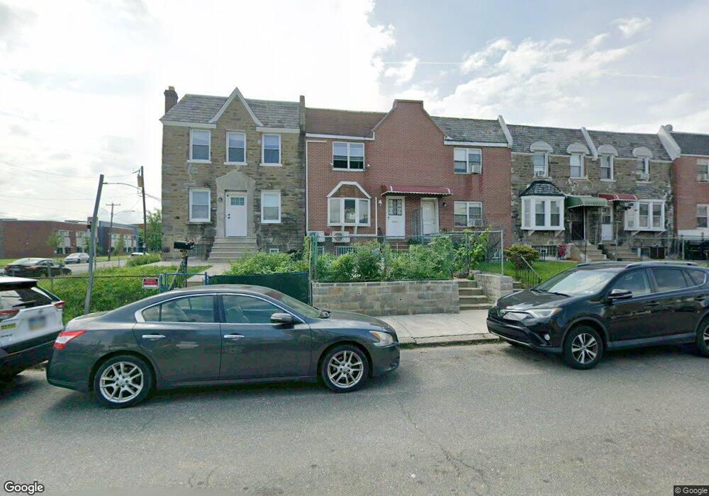
6945 Horrocks St Philadelphia, PA 19149
Castor Gardens NeighborhoodEstimated Value: $216,000 - $253,000
3
Beds
1
Bath
1,260
Sq Ft
$183/Sq Ft
Est. Value
About This Home
This home is located at 6945 Horrocks St, Philadelphia, PA 19149 and is currently estimated at $231,124, approximately $183 per square foot. 6945 Horrocks St is a home located in Philadelphia County with nearby schools including Solomon Solis-Cohen School, Castor Gardens Middle School, and Northeast High School.
Ownership History
Date
Name
Owned For
Owner Type
Purchase Details
Closed on
Dec 23, 2002
Sold by
Charnis Boris F
Bought by
Chen Mai Pei Ci
Current Estimated Value
Home Financials for this Owner
Home Financials are based on the most recent Mortgage that was taken out on this home.
Original Mortgage
$58,875
Outstanding Balance
$24,889
Interest Rate
6.02%
Mortgage Type
Stand Alone First
Estimated Equity
$206,235
Purchase Details
Closed on
Dec 4, 2000
Sold by
Marshall Anna and Miley Kathryn T
Bought by
Charnis Boris F
Home Financials for this Owner
Home Financials are based on the most recent Mortgage that was taken out on this home.
Original Mortgage
$45,937
Interest Rate
7.71%
Mortgage Type
Stand Alone First
Purchase Details
Closed on
Mar 10, 2000
Sold by
Marshall Anna
Bought by
Marshall Anna and Miley Kathryn T
Create a Home Valuation Report for This Property
The Home Valuation Report is an in-depth analysis detailing your home's value as well as a comparison with similar homes in the area
Home Values in the Area
Average Home Value in this Area
Purchase History
| Date | Buyer | Sale Price | Title Company |
|---|---|---|---|
| Chen Mai Pei Ci | $78,500 | Fidelity National Title Ins | |
| Charnis Boris F | $52,500 | -- | |
| Marshall Anna | -- | -- |
Source: Public Records
Mortgage History
| Date | Status | Borrower | Loan Amount |
|---|---|---|---|
| Open | Chen Mai Pei Ci | $58,875 | |
| Previous Owner | Charnis Boris F | $45,937 |
Source: Public Records
Tax History Compared to Growth
Tax History
| Year | Tax Paid | Tax Assessment Tax Assessment Total Assessment is a certain percentage of the fair market value that is determined by local assessors to be the total taxable value of land and additions on the property. | Land | Improvement |
|---|---|---|---|---|
| 2025 | $2,588 | $225,700 | $45,140 | $180,560 |
| 2024 | $2,588 | $225,700 | $45,140 | $180,560 |
| 2023 | $2,588 | $184,900 | $36,980 | $147,920 |
| 2022 | $1,281 | $139,900 | $36,980 | $102,920 |
| 2021 | $1,911 | $0 | $0 | $0 |
| 2020 | $1,911 | $0 | $0 | $0 |
| 2019 | $1,834 | $0 | $0 | $0 |
| 2018 | $1,276 | $0 | $0 | $0 |
| 2017 | $1,709 | $0 | $0 | $0 |
| 2016 | $1,289 | $0 | $0 | $0 |
| 2015 | -- | $0 | $0 | $0 |
| 2014 | -- | $122,100 | $21,128 | $100,972 |
| 2012 | -- | $15,584 | $1,742 | $13,842 |
Source: Public Records
Map
Nearby Homes
- 6900 Eastwood St
- 6826 Sylvester St
- 2011 Longshore Ave
- 6829 Horrocks St
- 6946 Kindred St
- 7028 Horrocks St
- 7034 Souder St
- 6834 Large St
- 7039 Kindred St
- 6827 Lynford St
- 6725 Eastwood St
- 2110 Longshore Ave
- 6739 Lynford St
- 2119 Glenview St
- 7019 Rutland St
- 7123 Souder St
- 7035 Rutland St
- 7050 Lynford St
- 6640 Souder St
- 6621 Sylvester St
- 6943 Horrocks St
- 6947 Horrocks St
- 6941 Horrocks St
- 6939 Horrocks St
- 6937 Horrocks St
- 6934 Sylvester St
- 6932 Sylvester St
- 6935 Horrocks St
- 6930 Sylvester St
- 6933 Horrocks St
- 6928 Sylvester St
- 6926 Sylvester St
- 6931 Horrocks St
- 6946 Horrocks St
- 6948 Horrocks St
- 6944 Horrocks St
- 6950 Horrocks St
- 6924 Sylvester St
- 6929 Horrocks St
- 6942 Horrocks St