6945 State Route 37 S Cypress, IL 62923
Estimated Value: $263,000 - $465,227
--
Bed
--
Bath
--
Sq Ft
54.6
Acres
About This Home
This home is located at 6945 State Route 37 S, Cypress, IL 62923 and is currently estimated at $349,409. 6945 State Route 37 S is a home with nearby schools including Cypress Elementary School, Vienna High School, and Living Hope Fellowship Christian School.
Ownership History
Date
Name
Owned For
Owner Type
Purchase Details
Closed on
Dec 4, 2019
Sold by
Swisher Blewett Beth Ann and Swisher Krueger Nina
Bought by
Drysdale Chris
Current Estimated Value
Home Financials for this Owner
Home Financials are based on the most recent Mortgage that was taken out on this home.
Original Mortgage
$229,900
Outstanding Balance
$203,282
Interest Rate
3.75%
Mortgage Type
New Conventional
Estimated Equity
$146,127
Purchase Details
Closed on
Aug 13, 2015
Sold by
Swisher Blewett Beth Ann and Swisher Krueger Nina
Bought by
Swisher Blewett Beth Ann and Swisher Krueger Nina
Create a Home Valuation Report for This Property
The Home Valuation Report is an in-depth analysis detailing your home's value as well as a comparison with similar homes in the area
Home Values in the Area
Average Home Value in this Area
Purchase History
| Date | Buyer | Sale Price | Title Company |
|---|---|---|---|
| Drysdale Chris | $235,000 | None Available | |
| Swisher Blewett Beth Ann | -- | -- |
Source: Public Records
Mortgage History
| Date | Status | Borrower | Loan Amount |
|---|---|---|---|
| Open | Drysdale Chris | $229,900 |
Source: Public Records
Tax History Compared to Growth
Tax History
| Year | Tax Paid | Tax Assessment Tax Assessment Total Assessment is a certain percentage of the fair market value that is determined by local assessors to be the total taxable value of land and additions on the property. | Land | Improvement |
|---|---|---|---|---|
| 2024 | -- | $132,086 | $73,368 | $58,718 |
| 2023 | -- | $78,334 | $44,968 | $33,366 |
| 2022 | $0 | $78,334 | $44,968 | $33,366 |
| 2021 | $1,844 | $78,334 | $44,968 | $33,366 |
| 2020 | $1,844 | $78,334 | $44,968 | $33,366 |
| 2019 | $663 | $30,370 | $6,100 | $24,270 |
| 2018 | $1,844 | $29,470 | $5,200 | $24,270 |
| 2017 | $181 | $28,605 | $4,335 | $24,270 |
| 2016 | $1,789 | $28,120 | $3,850 | $24,270 |
| 2015 | $461 | $26,025 | $3,155 | $22,870 |
| 2014 | $412 | $25,730 | $2,860 | $22,870 |
| 2013 | $415 | $25,650 | $2,780 | $22,870 |
| 2012 | $380 | $43,336 | $0 | $0 |
Source: Public Records
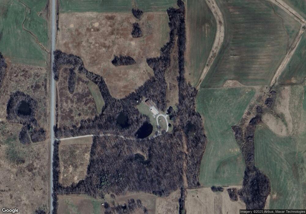
Map
Nearby Homes
- 000 Annabell Rd Unit Lot WP001
- 415 Pinoak Ln
- 401 E 1st St
- TBD E 1st St
- 313 Double C Farm Ln
- 1408 Illinois 169
- 5825 Moscow Rd
- 0 Mount Pisgah Rd
- 965 Corzine Rd
- 575 Wildcat Ln
- 575 Wildcat Bluff Rd
- 601 Ohio St
- 001 Old Boaz Rd
- 10365 State Route 146 E
- 1380 U S Highway 45 S
- 1380 U S 45
- 1010 Woods Rd
- 7725 U S 51
- 102 SE Front St
- 200 Crestview Dr
- 7245 State Route 37 S
- 5760 W Eden Rd
- 6465 State Route 37 S
- 0 Lowery St
- 0000 George Bluff Loop
- 5810 W Eden Rd
- 7465 State Route 37 S
- 715 Annabell Rd
- 6330 W Eden Rd
- 6304 State Route 37 S
- 6265 State Route 37 S
- 6160 W Eden Rd
- 6245 State Route 37 S
- 280 Dongola Rd
- 6200 State Route 37 S
- 6090 State Route 37 S
- 265 George Bluff Loop
- 4865 W Eden Rd
- 4710 W Eden Rd
- 6245 Dongola Rd