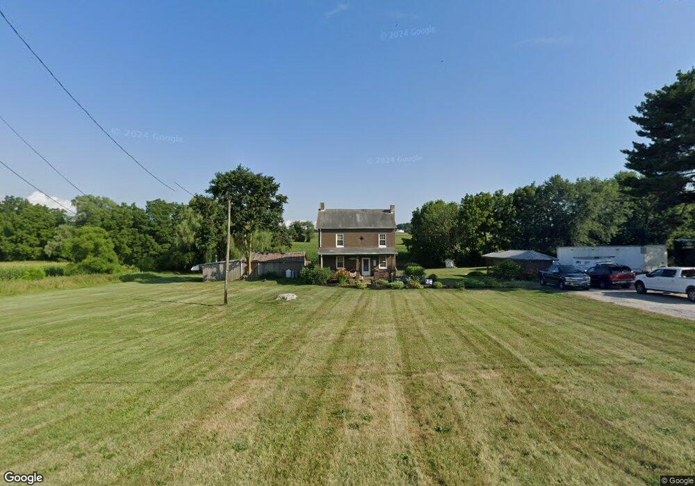
6946 Cannery Rd Hanover, PA 17331
Estimated Value: $238,232 - $310,000
4
Beds
1
Bath
1,498
Sq Ft
$183/Sq Ft
Est. Value
About This Home
This home is located at 6946 Cannery Rd, Hanover, PA 17331 and is currently estimated at $274,308, approximately $183 per square foot. 6946 Cannery Rd is a home located in York County with nearby schools including Spring Grove Area Middle School, Spring Grove Area High School, and Hope Christian School Of Hanover.
Ownership History
Date
Name
Owned For
Owner Type
Purchase Details
Closed on
Jul 30, 2004
Sold by
Williams Jamie H and Horne Charles M
Bought by
Baker Michael B
Current Estimated Value
Home Financials for this Owner
Home Financials are based on the most recent Mortgage that was taken out on this home.
Original Mortgage
$98,800
Outstanding Balance
$52,208
Interest Rate
7%
Mortgage Type
Purchase Money Mortgage
Estimated Equity
$222,100
Create a Home Valuation Report for This Property
The Home Valuation Report is an in-depth analysis detailing your home's value as well as a comparison with similar homes in the area
Home Values in the Area
Average Home Value in this Area
Purchase History
| Date | Buyer | Sale Price | Title Company |
|---|---|---|---|
| Baker Michael B | $123,500 | -- |
Source: Public Records
Mortgage History
| Date | Status | Borrower | Loan Amount |
|---|---|---|---|
| Open | Baker Michael B | $98,800 | |
| Closed | Baker Michael B | $24,700 |
Source: Public Records
Tax History Compared to Growth
Tax History
| Year | Tax Paid | Tax Assessment Tax Assessment Total Assessment is a certain percentage of the fair market value that is determined by local assessors to be the total taxable value of land and additions on the property. | Land | Improvement |
|---|---|---|---|---|
| 2025 | $3,548 | $105,580 | $45,500 | $60,080 |
| 2024 | $3,510 | $105,580 | $45,500 | $60,080 |
| 2023 | $3,510 | $105,580 | $45,500 | $60,080 |
| 2022 | $3,510 | $105,580 | $45,500 | $60,080 |
| 2021 | $3,359 | $105,580 | $45,500 | $60,080 |
| 2020 | $3,359 | $105,580 | $45,500 | $60,080 |
| 2019 | $3,288 | $105,580 | $45,500 | $60,080 |
| 2018 | $3,244 | $105,580 | $45,500 | $60,080 |
| 2017 | $3,144 | $105,580 | $45,500 | $60,080 |
| 2016 | -- | $105,580 | $45,500 | $60,080 |
| 2015 | $2,221 | $105,580 | $45,500 | $60,080 |
| 2014 | $2,221 | $105,580 | $45,500 | $60,080 |
Source: Public Records
Map
Nearby Homes
- 125 Northview Dr
- 6 Amanda Ave
- 1010 Marietta Ave
- 1120 Hoff Rd
- 758 Bankert Rd
- 366 Jasmine Dr
- 1844 Liberty Rd
- 345 Jasmine Dr
- 679 Cypress Dr Unit 76
- 265 Breezewood Dr
- 412 Hawthorn Ln Unit 67
- 1621 Spring St
- 36 Overlook Dr
- 103 Overlook Dr
- 194 Center St Unit 194
- 139 Mussetta St
- 621 Spring Ave
- 610 Spring Ave
- 608 Spring Ave
- 208 Overlook Dr