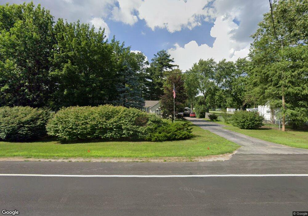
6946 Dorr St Toledo, OH 43615
Estimated Value: $178,000 - $292,000
2
Beds
1
Bath
1,160
Sq Ft
$213/Sq Ft
Est. Value
About This Home
This home is located at 6946 Dorr St, Toledo, OH 43615 and is currently estimated at $246,572, approximately $212 per square foot. 6946 Dorr St is a home located in Lucas County with nearby schools including Dorr Street Elementary School, Springfield Middle School, and Springfield High School.
Ownership History
Date
Name
Owned For
Owner Type
Purchase Details
Closed on
Dec 18, 2000
Sold by
Jackson Betty L and Jackson Betty
Bought by
Haupricht Robert G and Haupricht Vicki D
Current Estimated Value
Home Financials for this Owner
Home Financials are based on the most recent Mortgage that was taken out on this home.
Original Mortgage
$147,250
Outstanding Balance
$54,654
Interest Rate
7.8%
Estimated Equity
$191,918
Purchase Details
Closed on
Dec 8, 2000
Sold by
Belinske Linda Kay
Bought by
Jackson Betty
Home Financials for this Owner
Home Financials are based on the most recent Mortgage that was taken out on this home.
Original Mortgage
$147,250
Outstanding Balance
$54,654
Interest Rate
7.8%
Estimated Equity
$191,918
Purchase Details
Closed on
Nov 14, 1990
Sold by
Laplant Ralph R
Purchase Details
Closed on
Sep 2, 1988
Sold by
Laplant Laplant R R and Laplant I
Create a Home Valuation Report for This Property
The Home Valuation Report is an in-depth analysis detailing your home's value as well as a comparison with similar homes in the area
Home Values in the Area
Average Home Value in this Area
Purchase History
| Date | Buyer | Sale Price | Title Company |
|---|---|---|---|
| Haupricht Robert G | $155,000 | -- | |
| Jackson Betty | -- | -- | |
| -- | $76,500 | -- | |
| -- | -- | -- |
Source: Public Records
Mortgage History
| Date | Status | Borrower | Loan Amount |
|---|---|---|---|
| Open | Haupricht Robert G | $147,250 |
Source: Public Records
Tax History Compared to Growth
Tax History
| Year | Tax Paid | Tax Assessment Tax Assessment Total Assessment is a certain percentage of the fair market value that is determined by local assessors to be the total taxable value of land and additions on the property. | Land | Improvement |
|---|---|---|---|---|
| 2024 | $2,450 | $80,185 | $20,685 | $59,500 |
| 2023 | $4,441 | $63,455 | $19,425 | $44,030 |
| 2022 | $4,439 | $63,455 | $19,425 | $44,030 |
| 2021 | $4,176 | $63,455 | $19,425 | $44,030 |
| 2020 | $3,818 | $52,535 | $15,470 | $37,065 |
| 2019 | $3,730 | $52,535 | $15,470 | $37,065 |
| 2018 | $3,624 | $52,535 | $15,470 | $37,065 |
| 2017 | $3,546 | $46,480 | $19,390 | $27,090 |
| 2016 | $3,579 | $132,800 | $55,400 | $77,400 |
| 2015 | $3,573 | $132,800 | $55,400 | $77,400 |
| 2014 | $3,170 | $44,700 | $18,660 | $26,040 |
| 2013 | $3,170 | $44,700 | $18,660 | $26,040 |
Source: Public Records
Map
Nearby Homes
- 1128 Plum Grove Ln
- 1714 Deer Trail Dr
- 1802 Deer Trail Dr
- 1053 Plum Grove Ln
- 6820 Cloister Ct Unit 6820
- 6952 Leicester Rd
- 2150 Fieldbrook Dr
- 7335 Friarton Cir
- 2235 Whispering Pines Dr
- 1032 Saturn Dr
- 6968 Shooters Hill Rd
- 2015 King Rd
- 6843 Kristi Lynne Ln
- 7035 Mourning Dove Ct
- 6850 Kristi Lynne Ln
- 6616 Elmer Dr
- 1715 Brooklynn Park W
- 127 N Dorcas Rd
- 6324 Bapst Ave
- 1709 Acorn Dr