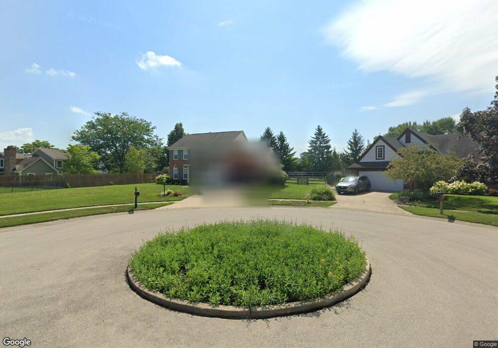
6946 Spring Farm Ct Dayton, OH 45459
Estimated Value: $363,000 - $493,000
4
Beds
4
Baths
2,683
Sq Ft
$168/Sq Ft
Est. Value
About This Home
This home is located at 6946 Spring Farm Ct, Dayton, OH 45459 and is currently estimated at $450,458, approximately $167 per square foot. 6946 Spring Farm Ct is a home located in Montgomery County with nearby schools including Primary Village North, Driscoll Elementary School, and Tower Heights Middle School.
Ownership History
Date
Name
Owned For
Owner Type
Purchase Details
Closed on
Nov 9, 2021
Sold by
Skidmore William R and Skidmore Pamela S
Bought by
Stout Wade and Buccello-Stout Regina Rachelle
Current Estimated Value
Home Financials for this Owner
Home Financials are based on the most recent Mortgage that was taken out on this home.
Original Mortgage
$256,500
Outstanding Balance
$235,005
Interest Rate
2.98%
Mortgage Type
New Conventional
Estimated Equity
$215,453
Create a Home Valuation Report for This Property
The Home Valuation Report is an in-depth analysis detailing your home's value as well as a comparison with similar homes in the area
Home Values in the Area
Average Home Value in this Area
Purchase History
| Date | Buyer | Sale Price | Title Company |
|---|---|---|---|
| Stout Wade | -- | Landmark Title |
Source: Public Records
Mortgage History
| Date | Status | Borrower | Loan Amount |
|---|---|---|---|
| Open | Stout Wade | $256,500 |
Source: Public Records
Tax History Compared to Growth
Tax History
| Year | Tax Paid | Tax Assessment Tax Assessment Total Assessment is a certain percentage of the fair market value that is determined by local assessors to be the total taxable value of land and additions on the property. | Land | Improvement |
|---|---|---|---|---|
| 2024 | $8,251 | $136,150 | $20,790 | $115,360 |
| 2023 | $8,251 | $142,290 | $20,790 | $121,500 |
| 2022 | $7,882 | $107,800 | $15,750 | $92,050 |
| 2021 | $7,903 | $107,800 | $15,750 | $92,050 |
| 2020 | $7,893 | $107,800 | $15,750 | $92,050 |
| 2019 | $7,923 | $96,590 | $15,750 | $80,840 |
| 2018 | $7,021 | $96,590 | $15,750 | $80,840 |
| 2017 | $6,577 | $91,520 | $15,750 | $75,770 |
| 2016 | $6,467 | $84,930 | $15,750 | $69,180 |
| 2015 | $6,401 | $84,930 | $15,750 | $69,180 |
| 2014 | $6,401 | $84,930 | $15,750 | $69,180 |
| 2012 | -- | $76,460 | $17,500 | $58,960 |
Source: Public Records
Map
Nearby Homes
- 1501 Lake Pointe Way Unit 8
- 1511 Lake Pointe Way
- 1511 Lake Pointe Way Unit 2
- 1973 Home Path Ct
- 1310 Hollow Run Unit 3
- 6610 Green Branch Dr
- 1311 Hollow Run Unit 11
- 1311 Hollow Run Unit 6
- 6780 Montpellier Blvd
- 1235 Chevington Ct Unit 1515
- 6350 Gwinnett Ln Unit 1326
- 2349 Donamere Cir Unit 5C
- 1563 Langdon Dr
- 7201 Brookmeadow Dr Unit 11A
- 2540 Early Spring Ct
- 2580 Hingham Ln
- 7308 Tamarind Trail
- 2565 Briggs Rd
- 1620 Ambridge Rd
- 7720 Park Creek Dr
- 6970 Spring Farm Ct
- 1824 Weathered Wood Trail
- 6908 Spring Farm Ct
- 1844 Weathered Wood Trail
- 6975 Spring Farm Ct
- 6957 Spring Farm Ct
- 6939 Spring Farm Ct
- 6921 Spring Farm Ct
- 1860 S Springcrest Ct
- 1837 Weathered Wood Trail
- 1792 Springfield St
- 1819 Weathered Wood Trail
- 6895 Marwyck Dr
- 6981 Abington Green Ct
- 1801 Weathered Wood Trail
- 1770 Weathered Wood Trail
- 6881 Marwyck Dr
- 6974 Abington Green Ct
- 6930 Marwyck Dr
- 6914 Marwyck Dr