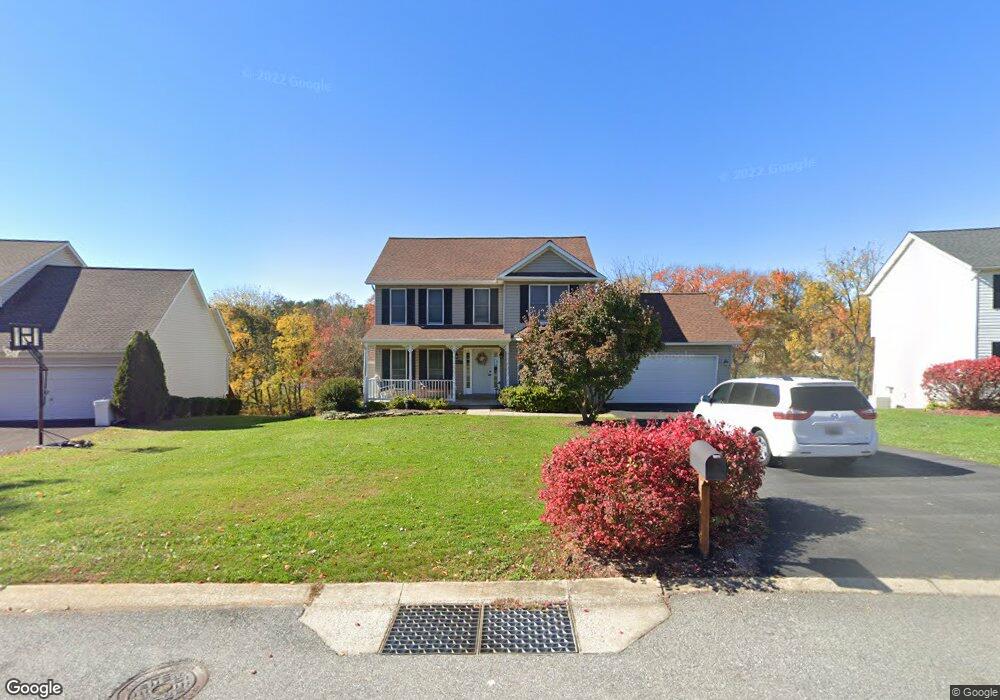
6947 Cable Dr Marriottsville, MD 21104
Estimated Value: $604,080 - $663,000
--
Bed
3
Baths
1,874
Sq Ft
$341/Sq Ft
Est. Value
About This Home
This home is located at 6947 Cable Dr, Marriottsville, MD 21104 and is currently estimated at $638,270, approximately $340 per square foot. 6947 Cable Dr is a home located in Carroll County with nearby schools including Carrolltowne Elementary School, Oklahoma Road Middle School, and Liberty High School.
Ownership History
Date
Name
Owned For
Owner Type
Purchase Details
Closed on
Mar 5, 2021
Sold by
Hazlett John C and Hazlett Joanne M
Bought by
Stark Jeremy and Stark Kerry
Current Estimated Value
Home Financials for this Owner
Home Financials are based on the most recent Mortgage that was taken out on this home.
Original Mortgage
$408,000
Outstanding Balance
$365,743
Interest Rate
2.7%
Mortgage Type
New Conventional
Estimated Equity
$272,527
Purchase Details
Closed on
Aug 15, 1996
Sold by
Patton Contractors Inc
Bought by
Hazlett John C and Hazlett Joanne M
Create a Home Valuation Report for This Property
The Home Valuation Report is an in-depth analysis detailing your home's value as well as a comparison with similar homes in the area
Home Values in the Area
Average Home Value in this Area
Purchase History
| Date | Buyer | Sale Price | Title Company |
|---|---|---|---|
| Stark Jeremy | $510,000 | Lawyers Trust Title Company | |
| Hazlett John C | $201,806 | -- |
Source: Public Records
Mortgage History
| Date | Status | Borrower | Loan Amount |
|---|---|---|---|
| Open | Stark Jeremy | $408,000 |
Source: Public Records
Tax History Compared to Growth
Tax History
| Year | Tax Paid | Tax Assessment Tax Assessment Total Assessment is a certain percentage of the fair market value that is determined by local assessors to be the total taxable value of land and additions on the property. | Land | Improvement |
|---|---|---|---|---|
| 2025 | $5,536 | $516,233 | $0 | $0 |
| 2024 | $5,536 | $481,700 | $180,000 | $301,700 |
| 2023 | $5,220 | $453,500 | $0 | $0 |
| 2022 | $4,905 | $425,300 | $0 | $0 |
| 2021 | $9,487 | $397,100 | $160,000 | $237,100 |
| 2020 | $3,874 | $391,600 | $0 | $0 |
| 2019 | $3,931 | $386,100 | $0 | $0 |
| 2018 | $4,390 | $380,600 | $160,000 | $220,600 |
| 2017 | $4,025 | $364,300 | $0 | $0 |
| 2016 | -- | $348,000 | $0 | $0 |
| 2015 | -- | $331,700 | $0 | $0 |
| 2014 | -- | $323,900 | $0 | $0 |
Source: Public Records
Map
Nearby Homes
- 7090 Saddle Dr
- 7010 Macbeth Way
- 1714 Botanical Ct Unit 23
- 1712 Botanical Ct Unit 22
- 7140 Brangles Rd
- 6819 Ridge Rd
- 6741 Quad Ln
- 6565 Macbeth Way
- 1809 Fallstaff Ct
- Lot 1 Carroll Highlands Rd
- 1696 Gemini Dr
- 2010 Rudy Serra Dr Unit C
- 1909 Lennox Dr Unit 90
- 2016 Rudy Serra Dr Unit A
- 2016 Rudy Serra Dr Unit C
- 6515 Dundee Dr Unit 240
- 1900 Lennox Dr Unit 41
- 1900 Lennox Dr Unit 49
- 1822 Cassandra Dr Unit 117
- 6467 Cornwall Dr Unit 56