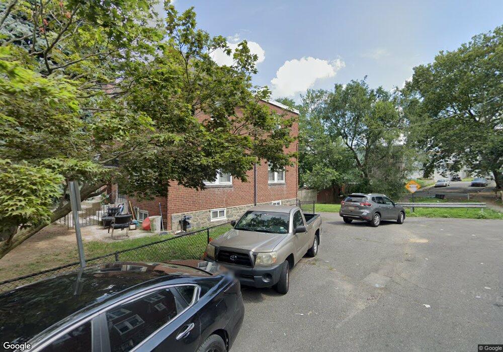
6948 Ruskin Ln Upper Darby, PA 19082
Estimated Value: $155,575 - $170,000
3
Beds
1
Bath
1,152
Sq Ft
$139/Sq Ft
Est. Value
About This Home
This home is located at 6948 Ruskin Ln, Upper Darby, PA 19082 and is currently estimated at $160,644, approximately $139 per square foot. 6948 Ruskin Ln is a home located in Delaware County with nearby schools including Upper Darby Kdg Center, Upper Darby High School, and SS. Cyril & Philomena Catholic School.
Ownership History
Date
Name
Owned For
Owner Type
Purchase Details
Closed on
Oct 16, 1998
Sold by
Hopkins Richard Leo and Hopkins Esther F
Bought by
Anthony Darrell C and Anthony Jeanette
Current Estimated Value
Home Financials for this Owner
Home Financials are based on the most recent Mortgage that was taken out on this home.
Original Mortgage
$62,525
Outstanding Balance
$13,571
Interest Rate
6.8%
Mortgage Type
FHA
Estimated Equity
$147,073
Create a Home Valuation Report for This Property
The Home Valuation Report is an in-depth analysis detailing your home's value as well as a comparison with similar homes in the area
Home Values in the Area
Average Home Value in this Area
Purchase History
| Date | Buyer | Sale Price | Title Company |
|---|---|---|---|
| Anthony Darrell C | $62,900 | T A Title Insurance Company |
Source: Public Records
Mortgage History
| Date | Status | Borrower | Loan Amount |
|---|---|---|---|
| Open | Anthony Darrell C | $62,525 |
Source: Public Records
Tax History
| Year | Tax Paid | Tax Assessment Tax Assessment Total Assessment is a certain percentage of the fair market value that is determined by local assessors to be the total taxable value of land and additions on the property. | Land | Improvement |
|---|---|---|---|---|
| 2025 | $3,199 | $75,640 | $18,340 | $57,300 |
| 2024 | $3,199 | $75,640 | $18,340 | $57,300 |
| 2023 | $3,169 | $75,640 | $18,340 | $57,300 |
| 2022 | $3,084 | $75,640 | $18,340 | $57,300 |
| 2021 | $4,158 | $75,640 | $18,340 | $57,300 |
| 2020 | $3,022 | $46,720 | $16,680 | $30,040 |
| 2019 | $2,969 | $46,720 | $16,680 | $30,040 |
| 2018 | $2,935 | $46,720 | $0 | $0 |
| 2017 | $2,859 | $46,720 | $0 | $0 |
| 2016 | $256 | $46,720 | $0 | $0 |
| 2015 | $256 | $46,720 | $0 | $0 |
| 2014 | $256 | $46,720 | $0 | $0 |
Source: Public Records
Map
Nearby Homes
- 6993 Guilford Rd
- 535 Wiltshire Rd
- 6997 Guilford Rd
- 540 Snowden Rd
- 7043 Radbourne Rd
- 7023 Guilford Rd
- 7042 Clinton Rd
- 614 Littlecroft Rd
- 607 Briarcliff Rd
- 7000 Greenwood Ave
- 519 Littlecroft Rd
- 7160 Clover Ln
- 424 Woodcliffe Rd
- 411 Millbank Rd
- 7123 Seaford Rd
- 418 Littlecroft Rd Unit 6A
- 7218 Radbourne Rd
- 402 Long Ln
- 418 Hampden Rd
- 6805 Marshall Rd
Your Personal Tour Guide
Ask me questions while you tour the home.