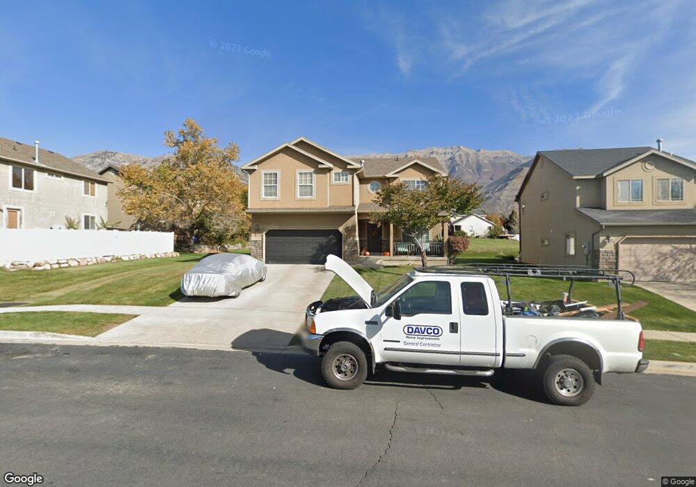
695 Apple Grove Ln Pleasant Grove, UT 84062
Estimated Value: $543,330 - $603,000
4
Beds
3
Baths
2,096
Sq Ft
$276/Sq Ft
Est. Value
About This Home
This home is located at 695 Apple Grove Ln, Pleasant Grove, UT 84062 and is currently estimated at $578,833, approximately $276 per square foot. 695 Apple Grove Ln is a home located in Utah County with nearby schools including Lindon Elementary School, Oak Canyon Junior High School, and Pleasant Grove High School.
Ownership History
Date
Name
Owned For
Owner Type
Purchase Details
Closed on
Jul 7, 2004
Sold by
Sundance Homes Llc
Bought by
Nielsen Denise
Current Estimated Value
Home Financials for this Owner
Home Financials are based on the most recent Mortgage that was taken out on this home.
Original Mortgage
$157,200
Outstanding Balance
$78,689
Interest Rate
6.25%
Mortgage Type
Purchase Money Mortgage
Estimated Equity
$500,144
Create a Home Valuation Report for This Property
The Home Valuation Report is an in-depth analysis detailing your home's value as well as a comparison with similar homes in the area
Home Values in the Area
Average Home Value in this Area
Purchase History
| Date | Buyer | Sale Price | Title Company |
|---|---|---|---|
| Nielsen Denise | -- | Signature Title Insurance A |
Source: Public Records
Mortgage History
| Date | Status | Borrower | Loan Amount |
|---|---|---|---|
| Open | Nielsen Denise | $157,200 | |
| Closed | Nielsen Denise | $39,300 |
Source: Public Records
Tax History Compared to Growth
Tax History
| Year | Tax Paid | Tax Assessment Tax Assessment Total Assessment is a certain percentage of the fair market value that is determined by local assessors to be the total taxable value of land and additions on the property. | Land | Improvement |
|---|---|---|---|---|
| 2025 | $2,071 | $277,695 | $171,700 | $333,200 |
| 2024 | $2,071 | $247,225 | $0 | $0 |
| 2023 | $2,040 | $249,260 | $0 | $0 |
| 2022 | $2,143 | $260,480 | $0 | $0 |
| 2021 | $1,889 | $349,600 | $123,200 | $226,400 |
| 2020 | $1,830 | $332,000 | $110,000 | $222,000 |
| 2019 | $1,716 | $322,000 | $100,000 | $222,000 |
| 2018 | $1,596 | $283,200 | $90,000 | $193,200 |
| 2017 | $1,602 | $151,360 | $0 | $0 |
| 2016 | $1,544 | $140,800 | $0 | $0 |
| 2015 | $1,505 | $129,965 | $0 | $0 |
| 2014 | $1,488 | $127,325 | $0 | $0 |
Source: Public Records
Map
Nearby Homes
- 701 S Apple Grove Ln
- 701 Apple Grove Ln
- 558 Harvest Moon Dr
- 568 Harvest Moon Dr
- 578 Harvest Moon Dr
- 715 Apple Grove Ln
- 715 S Apple Grove Ln
- 850 E 820 S
- 592 Harvest Moon Dr
- 588 Harvest Moon Dr
- 692 Apple Grove Ln
- 702 Apple Grove Ln
- 702 S Apple Grove Ln
- 729 S Apple Grove Ln
- 729 Apple Grove Ln
- 607 E 820 S
- 601 E 820 S
- 718 Apple Grove Ln
- 548 Harvest Moon Dr
- 698 Apple Grove Ln