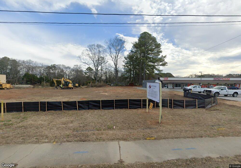
695 Big a Rd Toccoa, GA 30577
Estimated Value: $379,648
Studio
--
Bath
2,044
Sq Ft
$186/Sq Ft
Est. Value
About This Home
This home is located at 695 Big a Rd, Toccoa, GA 30577 and is currently estimated at $379,648, approximately $185 per square foot. 695 Big a Rd is a home located in Stephens County with nearby schools including Stephens County High School.
Ownership History
Date
Name
Owned For
Owner Type
Purchase Details
Closed on
May 9, 2025
Sold by
North Georgia Credit Union
Bought by
Bell Hayden and Nicholson Clyde
Current Estimated Value
Purchase Details
Closed on
Dec 18, 2019
Sold by
Sheriff Charles H
Bought by
Bugbee Jolene and Defoor Jerry
Purchase Details
Closed on
Dec 31, 2011
Sold by
Sheriff Charles H & Libby
Bought by
Sheriff Charles H & Libby Sheriff Estate
Purchase Details
Closed on
Jul 20, 1973
Sold by
Burden Fred W and Greene Mary S
Bought by
Sheriff Charles & Libby
Create a Home Valuation Report for This Property
The Home Valuation Report is an in-depth analysis detailing your home's value as well as a comparison with similar homes in the area
Purchase History
| Date | Buyer | Sale Price | Title Company |
|---|---|---|---|
| Bell Hayden | -- | -- | |
| Bugbee Jolene | -- | -- | |
| Northeast Georgia Cr Un | $230,000 | -- | |
| Sheriff Charles H & Libby Sheriff Estate | -- | -- | |
| Sheriff Charles & Libby | -- | -- |
Source: Public Records
Tax History Compared to Growth
Tax History
| Year | Tax Paid | Tax Assessment Tax Assessment Total Assessment is a certain percentage of the fair market value that is determined by local assessors to be the total taxable value of land and additions on the property. | Land | Improvement |
|---|---|---|---|---|
| 2025 | $9,853 | $331,878 | $78,712 | $253,166 |
| 2024 | $2,817 | $79,024 | $78,712 | $312 |
| 2023 | $2,406 | $79,024 | $78,712 | $312 |
| 2022 | $3,123 | $104,916 | $78,712 | $26,204 |
| 2021 | $3,281 | $104,916 | $78,712 | $26,204 |
| 2020 | $3,313 | $104,916 | $78,712 | $26,204 |
| 2019 | $3,327 | $104,916 | $78,712 | $26,204 |
| 2018 | $4,202 | $132,516 | $106,312 | $26,204 |
| 2017 | $4,268 | $132,516 | $106,312 | $26,204 |
| 2016 | $2,186 | $68,932 | $46,131 | $22,800 |
| 2015 | $2,289 | $68,932 | $46,131 | $22,800 |
| 2014 | $1,352 | $40,040 | $20,000 | $20,040 |
| 2013 | -- | $40,920 | $20,000 | $20,920 |
Source: Public Records
Map
Nearby Homes
- 0 Hwy 17 Alt Unit 10577119
- 59 Sunset Ln
- 45 Hayes St
- 132 Queen St
- 0 Stephen Dr Unit 10662201
- 229 Hilltop Ln
- 9 Poplar St
- 148 Moreland Dr
- 0 Moreland Dr Unit 10565201
- 1222 E Tugalo St
- 294 Stancil Dr
- 110 Valley Rd
- 84 Park St
- 178 Mitchell St
- 398 Valley Dr
- 139 Myrtle St
- 43 Pauline St
- 0 Valley Dr Unit 7675761
- 0 Valley Dr Unit 10600268
- 43 Mountain View Dr
- 669 Big a Rd
- 655 Big a Rd Unit 669
- 655 Big a Rd
- 94 Norwood Ave
- 703 Big a Rd
- 703 Big a Rd Unit B
- 703 Big a Rd Unit A
- 605 Big a Rd
- 335 Big a Rd
- 123 Norwood Ave
- 123 Norwood Ave
- 748 Big a Rd
- 99 Norwood Ave
- 173 Norwood Ave
- 54 Glendale St
- 71 Norwood Ave
- 122 Norwood Ave
- 49 Norwood Ave
- 86 Glendale St
- 793 Big a Rd
