695 Brower Rd Waynesboro, VA 22980
Estimated Value: $439,979 - $519,000
4
Beds
2
Baths
1,952
Sq Ft
$250/Sq Ft
Est. Value
About This Home
This home is located at 695 Brower Rd, Waynesboro, VA 22980 and is currently estimated at $487,995, approximately $249 per square foot. 695 Brower Rd is a home located in Augusta County with nearby schools including Cassell Elementary School, Wilson Middle School, and Wilson Memorial High School.
Ownership History
Date
Name
Owned For
Owner Type
Purchase Details
Closed on
May 10, 2022
Sold by
Horton Joseph B and Horton Julie L
Bought by
Horton Family Declaration Of Trust
Current Estimated Value
Purchase Details
Closed on
May 24, 2017
Sold by
Coffey Charles Lee and Coffey Nancy J
Bought by
Horton Jsoeph B and Horton Julie L
Purchase Details
Closed on
Apr 4, 2007
Sold by
Johnson Donald G and Johnson Hilda H
Bought by
Coffey Charles Lee and Coffey Nancy K
Home Financials for this Owner
Home Financials are based on the most recent Mortgage that was taken out on this home.
Original Mortgage
$129,300
Interest Rate
6.24%
Mortgage Type
Credit Line Revolving
Create a Home Valuation Report for This Property
The Home Valuation Report is an in-depth analysis detailing your home's value as well as a comparison with similar homes in the area
Home Values in the Area
Average Home Value in this Area
Purchase History
| Date | Buyer | Sale Price | Title Company |
|---|---|---|---|
| Horton Family Declaration Of Trust | -- | -- | |
| Horton Jsoeph B | $280,000 | Court Square Title | |
| Coffey Charles Lee | -- | -- |
Source: Public Records
Mortgage History
| Date | Status | Borrower | Loan Amount |
|---|---|---|---|
| Previous Owner | Coffey Charles Lee | $129,300 |
Source: Public Records
Tax History Compared to Growth
Tax History
| Year | Tax Paid | Tax Assessment Tax Assessment Total Assessment is a certain percentage of the fair market value that is determined by local assessors to be the total taxable value of land and additions on the property. | Land | Improvement |
|---|---|---|---|---|
| 2025 | $1,863 | $358,300 | $69,500 | $288,800 |
| 2024 | $1,641 | $363,400 | $69,500 | $293,900 |
| 2023 | $1,637 | $260,400 | $73,400 | $187,000 |
| 2022 | $1,622 | $258,100 | $73,400 | $184,700 |
| 2021 | $1,626 | $258,100 | $73,400 | $184,700 |
| 2020 | $1,626 | $258,100 | $73,400 | $184,700 |
| 2019 | $1,626 | $258,100 | $73,400 | $184,700 |
| 2018 | $1,492 | $236,856 | $73,400 | $163,456 |
| 2017 | $1,374 | $236,856 | $73,400 | $163,456 |
| 2016 | $1,374 | $236,856 | $73,400 | $163,456 |
| 2015 | $1,089 | $236,856 | $73,400 | $163,456 |
| 2014 | $1,089 | $236,856 | $73,400 | $163,456 |
| 2013 | $1,089 | $226,800 | $68,400 | $158,400 |
Source: Public Records
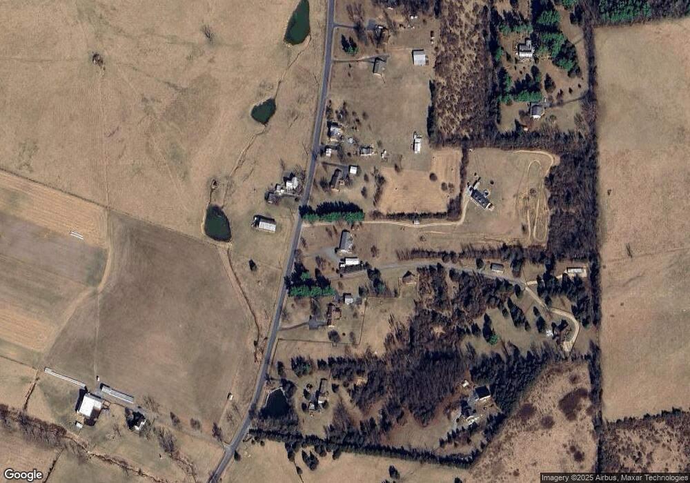
Map
Nearby Homes
- 0 Bibb Farm Ln
- 98 Cedar Ridge Rd
- 249 Cattle Scales Rd
- 115 Old Hermitage Rd
- 1000 E Side Hwy
- TBD 10th St
- TBD Pine Bluff Rd
- tbd1 Calf Mountain Rd
- TBD E Main St
- tbd Forgotten Ln
- TBD E Main St Unit 3 & 4
- tbd Lot 4 Pratts Run Ln
- TBD 10th St Unit 19
- 800 & 812 W Main St
- 995 Old White Bridge Rd
- 32 Woodside Dr
- 167 Henkel Rd
- 10 Bradley Ln
- 9 Bradley Ln
- 77 Laurel Wood Dr
- 725 Brower Rd
- 669 Brower Rd
- 716 Brower Rd
- 735 Brower Rd
- 653 Brower Rd
- 705 Brower Rd
- 687 Brower Rd
- 763 Brower Rd
- 0 Brower Rd
- 635 Brower Rd
- 775 Brower Rd
- 685 Brower Rd
- 683 Hildebrand Church Rd
- 683 Hildebrand Church Rd
- 787 Brower Rd
- 681 Hildebrand Church Rd
- 628 Brower Rd
- 793 Brower Rd
- 655 Hildebrand Church Rd
- 613 Hildebrand Church Rd