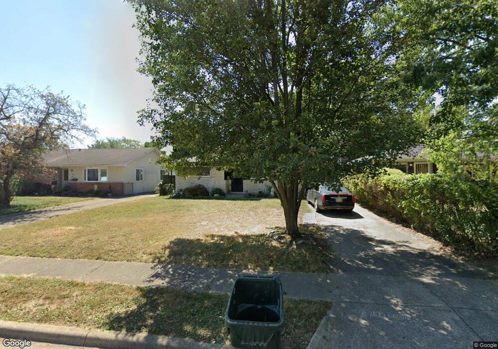
695 Colton Rd Columbus, OH 43207
Obetz-Lockbourne NeighborhoodEstimated Value: $183,000 - $198,000
3
Beds
1
Bath
882
Sq Ft
$219/Sq Ft
Est. Value
About This Home
This home is located at 695 Colton Rd, Columbus, OH 43207 and is currently estimated at $192,737, approximately $218 per square foot. 695 Colton Rd is a home located in Franklin County with nearby schools including Parsons Elementary School, Buckeye Middle School, and Marion-Franklin High School.
Ownership History
Date
Name
Owned For
Owner Type
Purchase Details
Closed on
Oct 19, 2017
Sold by
Logsdon Justin W
Bought by
Bobo Corrine L
Current Estimated Value
Purchase Details
Closed on
Jun 16, 1997
Sold by
Snodgrass Arthur H and Snodgrass Ethel M
Bought by
Logsdon Timothy and Logsdon Annis
Home Financials for this Owner
Home Financials are based on the most recent Mortgage that was taken out on this home.
Original Mortgage
$78,425
Interest Rate
8.01%
Mortgage Type
FHA
Create a Home Valuation Report for This Property
The Home Valuation Report is an in-depth analysis detailing your home's value as well as a comparison with similar homes in the area
Home Values in the Area
Average Home Value in this Area
Purchase History
| Date | Buyer | Sale Price | Title Company |
|---|---|---|---|
| Bobo Corrine L | -- | None Available | |
| Logsdon Timothy | $79,500 | Titlequest Agency Inc |
Source: Public Records
Mortgage History
| Date | Status | Borrower | Loan Amount |
|---|---|---|---|
| Previous Owner | Logsdon Timothy | $78,425 |
Source: Public Records
Tax History
| Year | Tax Paid | Tax Assessment Tax Assessment Total Assessment is a certain percentage of the fair market value that is determined by local assessors to be the total taxable value of land and additions on the property. | Land | Improvement |
|---|---|---|---|---|
| 2025 | $5,172 | $61,540 | $17,610 | $43,930 |
| 2024 | $5,172 | $61,540 | $17,610 | $43,930 |
| 2023 | $2,578 | $61,530 | $17,605 | $43,925 |
| 2022 | $4,646 | $28,880 | $9,420 | $19,460 |
| 2021 | $1,343 | $28,880 | $9,420 | $19,460 |
| 2020 | $1,047 | $28,880 | $9,420 | $19,460 |
| 2019 | $988 | $25,030 | $8,190 | $16,840 |
| 2018 | $1,131 | $25,030 | $8,190 | $16,840 |
| 2017 | $1,517 | $25,030 | $8,190 | $16,840 |
| 2016 | $1,406 | $21,220 | $4,030 | $17,190 |
| 2015 | $1,276 | $21,220 | $4,030 | $17,190 |
| 2014 | $1,279 | $21,220 | $4,030 | $17,190 |
| 2013 | $664 | $22,330 | $4,235 | $18,095 |
Source: Public Records
Map
Nearby Homes
- 691 Colton Rd
- 0 Williams Rd
- 780 Basswood Rd
- 860 Basswood Rd
- 3302 Hilock Place
- 1633-1635 E Greenway Ave
- 3608 S Champion Ave
- 3251 Hilock Ct
- 3380 Parsons Ave
- 562 Ashwood Rd
- 884 Bruckner Rd
- 525 Ashwood Rd
- 1127 Rumsey Rd
- 577 Barcher Rd
- 435 Carolann Ave
- 1118 Maplewood Rd
- 460 Coulter Ave
- 3531 Lockbourne Rd
- 631 Harland Dr
- 484 Cedarwood Rd
Your Personal Tour Guide
Ask me questions while you tour the home.