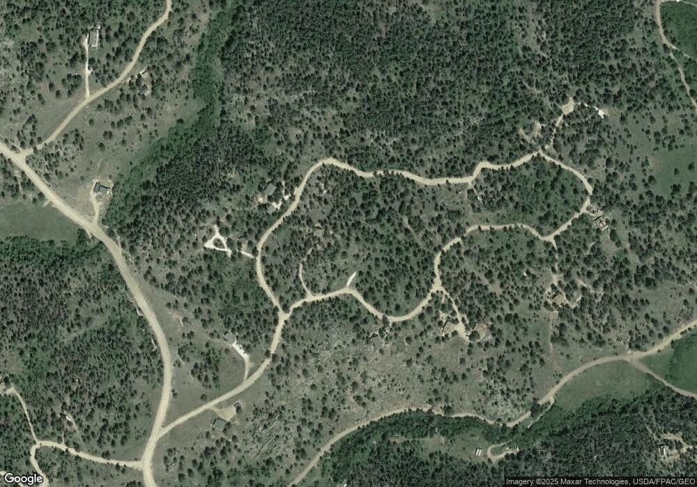
695 Comanche Cir Red Feather Lakes, CO 80545
Estimated Value: $485,000 - $569,000
2
Beds
2
Baths
1,520
Sq Ft
$345/Sq Ft
Est. Value
About This Home
This home is located at 695 Comanche Cir, Red Feather Lakes, CO 80545 and is currently estimated at $523,892, approximately $344 per square foot. 695 Comanche Cir is a home located in Larimer County with nearby schools including Red Feather Lakes Elementary School, Cache La Poudre Middle School, and Poudre High School.
Ownership History
Date
Name
Owned For
Owner Type
Purchase Details
Closed on
May 31, 2002
Sold by
Asher Ralph B
Bought by
Marum Marjorie H
Current Estimated Value
Home Financials for this Owner
Home Financials are based on the most recent Mortgage that was taken out on this home.
Original Mortgage
$120,000
Outstanding Balance
$51,025
Interest Rate
6.89%
Estimated Equity
$472,867
Create a Home Valuation Report for This Property
The Home Valuation Report is an in-depth analysis detailing your home's value as well as a comparison with similar homes in the area
Home Values in the Area
Average Home Value in this Area
Purchase History
| Date | Buyer | Sale Price | Title Company |
|---|---|---|---|
| Marum Marjorie H | $212,000 | Land Title |
Source: Public Records
Mortgage History
| Date | Status | Borrower | Loan Amount |
|---|---|---|---|
| Open | Marum Marjorie H | $120,000 |
Source: Public Records
Tax History
| Year | Tax Paid | Tax Assessment Tax Assessment Total Assessment is a certain percentage of the fair market value that is determined by local assessors to be the total taxable value of land and additions on the property. | Land | Improvement |
|---|---|---|---|---|
| 2025 | $3,195 | $31,613 | $7,813 | $23,800 |
| 2024 | $3,072 | $37,406 | $9,226 | $28,180 |
| 2022 | $2,282 | $24,221 | $5,491 | $18,730 |
| 2021 | $2,306 | $24,918 | $5,649 | $19,269 |
| 2020 | $1,871 | $20,035 | $4,648 | $15,387 |
| 2019 | $1,879 | $20,035 | $4,648 | $15,387 |
| 2018 | $1,614 | $17,748 | $3,744 | $14,004 |
| 2017 | $1,609 | $17,748 | $3,744 | $14,004 |
| 2016 | $1,700 | $18,666 | $3,900 | $14,766 |
| 2015 | $1,688 | $18,670 | $3,900 | $14,770 |
| 2014 | $1,276 | $14,660 | $4,460 | $10,200 |
Source: Public Records
Map
Nearby Homes
- 416 Comanche Cir
- 106 Beartrap Rd
- 528 Lone Pine Lake Dr
- 311 Shawnee Rd
- 88 Munsee Ct
- 151 Ada Ct
- 53 Ada Ct
- 112 Chillicothe Ct
- 29 Santa Clara Ct
- 5449 N County Road 73c
- 5481 N County Road 73c
- 1074 Caddo Rd
- 141 Tami Rd
- 129 Kiliwa Ct
- 357 Navajo Rd
- 316 Panamint Way
- 926 Okmulgee Cir
- 739 Socorro Trail
- 311 Chiricahua Cir
- 463 Nowata Dr
- 160 Comanche Cir
- 96 Comanche Cir
- 288 Comanche Cir
- 672 Comanche Cir
- 36 Comanche Cir
- 608 Comanche Cir Unit also
- 608 Comanche Cir
- 606 Comanche Cir
- 606 Comanche Cir Unit also (608)
- 684 Lone Pine Lake Dr
- 25 Comanche Cir
- 4288 N County Road 73c
- 356 Lone Pine Dr
- 83 Beartrap Rd
- 352 Comanche Cir
- 544 Comanche Cir
- 270 Lone Pine Dr
- 253 Beartrap Rd
- 307 Beartrap Rd
- 4052 N County Road 73c
Your Personal Tour Guide
Ask me questions while you tour the home.
