695 Devine Rd Harrodsburg, KY 40330
Estimated Value: $543,000 - $920,000
3
Beds
3
Baths
2,792
Sq Ft
$270/Sq Ft
Est. Value
About This Home
This home is located at 695 Devine Rd, Harrodsburg, KY 40330 and is currently estimated at $755,082, approximately $270 per square foot. 695 Devine Rd is a home located in Mercer County with nearby schools including Mercer County Elementary School, Mercer County Intermediate School, and King Middle School.
Ownership History
Date
Name
Owned For
Owner Type
Purchase Details
Closed on
Oct 20, 2022
Sold by
Hunt Mary D
Bought by
Tuckwell Warner Jack and Tuckwell Arely Warner
Current Estimated Value
Home Financials for this Owner
Home Financials are based on the most recent Mortgage that was taken out on this home.
Original Mortgage
$700,000
Outstanding Balance
$658,820
Interest Rate
5.89%
Mortgage Type
Construction
Estimated Equity
$96,262
Purchase Details
Closed on
Jan 20, 2010
Sold by
Whitaker Bank Inc
Bought by
Hunt Clionton and Hunt Mary D
Home Financials for this Owner
Home Financials are based on the most recent Mortgage that was taken out on this home.
Original Mortgage
$280,000
Interest Rate
5.16%
Create a Home Valuation Report for This Property
The Home Valuation Report is an in-depth analysis detailing your home's value as well as a comparison with similar homes in the area
Home Values in the Area
Average Home Value in this Area
Purchase History
| Date | Buyer | Sale Price | Title Company |
|---|---|---|---|
| Tuckwell Warner Jack | $875,000 | -- | |
| Hunt Clionton | $350,000 | -- |
Source: Public Records
Mortgage History
| Date | Status | Borrower | Loan Amount |
|---|---|---|---|
| Open | Tuckwell Warner Jack | $700,000 | |
| Previous Owner | Hunt Clionton | $280,000 |
Source: Public Records
Tax History Compared to Growth
Tax History
| Year | Tax Paid | Tax Assessment Tax Assessment Total Assessment is a certain percentage of the fair market value that is determined by local assessors to be the total taxable value of land and additions on the property. | Land | Improvement |
|---|---|---|---|---|
| 2024 | $5,677 | $475,048 | $48,048 | $427,000 |
| 2023 | $5,729 | $475,048 | $0 | $0 |
| 2022 | $2,689 | $268,159 | $0 | $0 |
| 2021 | $1,948 | $204,336 | $0 | $0 |
| 2020 | $1,954 | $204,336 | $48,048 | $156,288 |
| 2019 | $1,984 | $204,336 | $48,048 | $156,288 |
| 2018 | $1,959 | $204,336 | $0 | $0 |
| 2017 | $1,892 | $204,336 | $0 | $0 |
| 2016 | $1,736 | $192,710 | $0 | $0 |
| 2015 | $1,697 | $192,710 | $36,422 | $156,288 |
| 2014 | $1,697 | $192,710 | $0 | $0 |
| 2010 | -- | $196,380 | $44,092 | $152,288 |
Source: Public Records
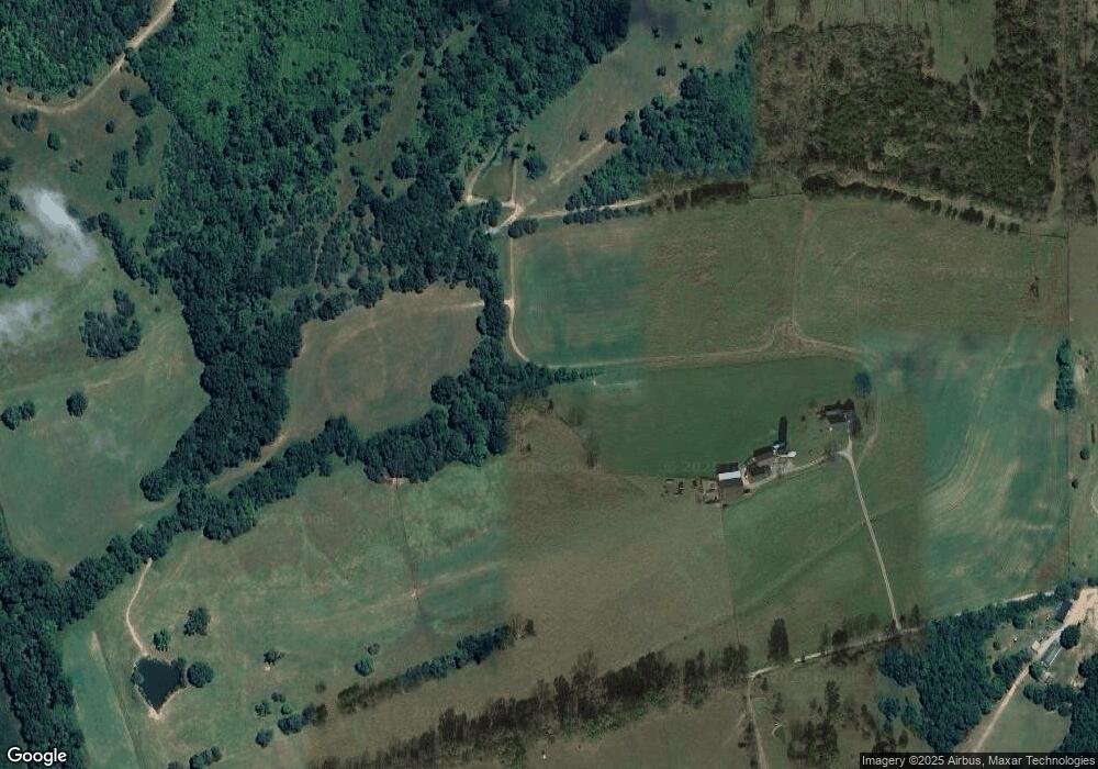
Map
Nearby Homes
- 315 Devine Rd
- 399 Harlow Ln
- 245 Kays Rd
- 1092 Bushtown Rd
- 1100 Old Dixville Rd
- 265 Kays Rd
- 564 Oakland Ln
- 0 E Fork Rd
- 2050-B E Fork Rd
- 2050-D E Fork Rd
- 2050-A E Fork Rd
- 2050 E Fork Rd
- 2050-C E Fork Rd
- 200 Rose Hill Ln
- 9915 Cornishville Rd
- 986 Martin Ln
- 5351 Battle Rd
- 5298 Battle Rd
- 271 Boswell Ln
- 5980 Bohon Rd
- 695 Devine Rd Rd
- 1370 Bruners Chapel Rd
- 508 Devine Rd
- 1200 Bruners Chapel Rd
- 1105 Bruners Chapel Rd
- 1055 Bruners Chapel Rd
- 1 Bruners Chapel Rd
- 0 Bruners Chapel Rd
- 960 Bruners Chapel Rd
- 385 Cap Bottom Ln
- 414 Devine Rd
- 1151 Bruners Chapel Rd
- 350 Devine Rd
- 100 Devine Rd
- 405 Cap Bottom Ln
- 876 Bruners Chapel Rd
- 244 Cap Bottom Ln
- 3456 MacKville Rd
- 815 Bruners Chapel Rd
- 214 Devine Rd