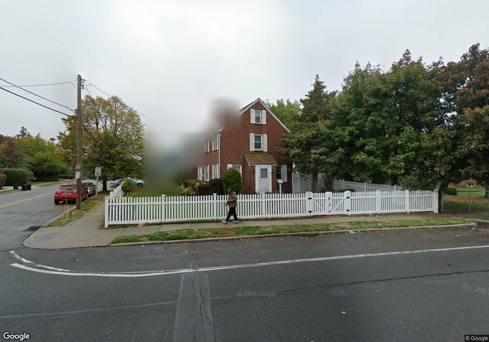
695 Front St Unit 1 Hempstead, NY 11550
Estimated Value: $691,000 - $721,114
1
Bed
1
Bath
1,851
Sq Ft
$381/Sq Ft
Est. Value
About This Home
This home is located at 695 Front St Unit 1, Hempstead, NY 11550 and is currently estimated at $706,057, approximately $381 per square foot. 695 Front St Unit 1 is a home located in Nassau County with nearby schools including California Avenue Elementary School, Turtle Hook Middle School, and Uniondale High School.
Ownership History
Date
Name
Owned For
Owner Type
Purchase Details
Closed on
Jul 29, 1996
Sold by
Heyman William and Heyman Doreen
Bought by
Moore Rhona
Current Estimated Value
Home Financials for this Owner
Home Financials are based on the most recent Mortgage that was taken out on this home.
Original Mortgage
$144,400
Outstanding Balance
$11,313
Interest Rate
8.11%
Estimated Equity
$694,744
Create a Home Valuation Report for This Property
The Home Valuation Report is an in-depth analysis detailing your home's value as well as a comparison with similar homes in the area
Home Values in the Area
Average Home Value in this Area
Purchase History
| Date | Buyer | Sale Price | Title Company |
|---|---|---|---|
| Moore Rhona | $152,000 | -- |
Source: Public Records
Mortgage History
| Date | Status | Borrower | Loan Amount |
|---|---|---|---|
| Open | Moore Rhona | $144,400 |
Source: Public Records
Tax History Compared to Growth
Tax History
| Year | Tax Paid | Tax Assessment Tax Assessment Total Assessment is a certain percentage of the fair market value that is determined by local assessors to be the total taxable value of land and additions on the property. | Land | Improvement |
|---|---|---|---|---|
| 2025 | $6,192 | $398 | $147 | $251 |
| 2024 | $1,060 | $413 | $153 | $260 |
| 2023 | $5,185 | $413 | $153 | $260 |
| 2022 | $5,185 | $413 | $153 | $260 |
| 2021 | $7,148 | $394 | $146 | $248 |
| 2020 | $4,912 | $504 | $383 | $121 |
| 2019 | $4,422 | $504 | $383 | $121 |
| 2018 | $4,174 | $504 | $0 | $0 |
| 2017 | $3,274 | $535 | $294 | $241 |
| 2016 | $4,210 | $698 | $383 | $315 |
| 2015 | $1,169 | $698 | $383 | $315 |
| 2014 | $1,169 | $698 | $383 | $315 |
| 2013 | $1,082 | $698 | $383 | $315 |
Source: Public Records
Map
Nearby Homes
- 27 Elizabeth Ct
- 23 Elizabeth Ct
- 112 Meadowbrook Rd
- 50 Cameron Ave
- 749 Front St
- 18 Perry St
- 28 Cornwall Ln
- 41 Perry St
- 132 Duncan Rd
- 109 Leverich St
- 119 Broadfield Rd
- 59 Ingraham Blvd
- 72 Ingraham Blvd
- 305 Crowell St
- 64 Fairview Blvd
- 66 Warner Ave
- 28 Dakota Place
- 65 Surrey Ln
- 183 Perry St
- 240 Bedford Ave
- 108 Cameron Ave Unit 1
- 695 Front St
- 100 Cameron Ave
- 100 Cameron Ave
- 687 Front St
- 96 Cameron Ave
- 105 Kernochan Ave
- 5 Lincoln Rd
- 103 Kernochan Ave
- 99 Cameron Ave
- 90 Cameron Ave
- 679 Front St
- 10 Lincoln Rd
- 95 Kernochan Ave
- 684 Front St
- 684 Front St Unit G
- 684 Front St
- 684 Front St
- 684 Front St Unit D
- 684 Front St Unit C