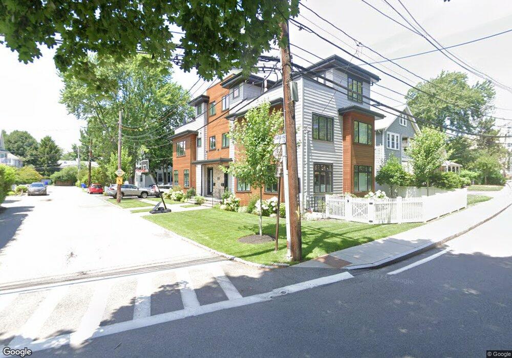
695 Heath St Unit 2 Chestnut Hill, MA 02467
Chestnut Hill NeighborhoodEstimated Value: $1,819,000 - $1,995,972
4
Beds
5
Baths
2,700
Sq Ft
$706/Sq Ft
Est. Value
About This Home
This home is located at 695 Heath St Unit 2, Chestnut Hill, MA 02467 and is currently estimated at $1,906,493, approximately $706 per square foot. 695 Heath St Unit 2 is a home located in Norfolk County with nearby schools including Heath Elementary School, Brimmer & May School, and The Chestnut Hill School.
Ownership History
Date
Name
Owned For
Owner Type
Purchase Details
Closed on
Mar 16, 2022
Sold by
Shrayer Maxim D and Lasser Karen E
Bought by
695 Heath Street Rt
Current Estimated Value
Purchase Details
Closed on
May 12, 2020
Sold by
Heath Street Realty 695
Bought by
Shrayer Maxim D and Lasser Karen E
Home Financials for this Owner
Home Financials are based on the most recent Mortgage that was taken out on this home.
Original Mortgage
$1,407,200
Interest Rate
3.3%
Mortgage Type
New Conventional
Purchase Details
Closed on
Jul 14, 1997
Sold by
Culliton David A
Bought by
Steverman Francis T and Steverman Cheryl A
Home Financials for this Owner
Home Financials are based on the most recent Mortgage that was taken out on this home.
Original Mortgage
$164,000
Interest Rate
7.86%
Mortgage Type
Purchase Money Mortgage
Create a Home Valuation Report for This Property
The Home Valuation Report is an in-depth analysis detailing your home's value as well as a comparison with similar homes in the area
Home Values in the Area
Average Home Value in this Area
Purchase History
| Date | Buyer | Sale Price | Title Company |
|---|---|---|---|
| 695 Heath Street Rt | -- | None Available | |
| Shrayer Maxim D | $1,759,000 | None Available | |
| Steverman Francis T | $205,000 | -- |
Source: Public Records
Mortgage History
| Date | Status | Borrower | Loan Amount |
|---|---|---|---|
| Previous Owner | Shrayer Maxim D | $1,407,200 | |
| Previous Owner | Steverman Francis T | $360,000 | |
| Previous Owner | Steverman Francis T | $164,000 |
Source: Public Records
Tax History Compared to Growth
Tax History
| Year | Tax Paid | Tax Assessment Tax Assessment Total Assessment is a certain percentage of the fair market value that is determined by local assessors to be the total taxable value of land and additions on the property. | Land | Improvement |
|---|---|---|---|---|
| 2025 | $17,237 | $1,746,400 | $0 | $1,746,400 |
| 2024 | $16,727 | $1,712,100 | $0 | $1,712,100 |
| 2023 | $16,146 | $1,619,500 | $0 | $1,619,500 |
| 2022 | $16,023 | $1,572,400 | $0 | $1,572,400 |
Source: Public Records
Map
Nearby Homes
- 15 Glenland Rd
- 11 Hammond Pond Pkwy Unit 3
- 33 Hammond Pond Pkwy Unit 2
- 321 Hammond Pond Pkwy Unit 103
- 321 Hammond Pond Pkwy Unit 301
- 771 Heath St Unit 771
- 809-811 Heath St Unit 811
- 799 Heath St Unit 2
- 811 Heath St
- 5 Heathwood Ln
- 3 Glenoe Rd
- 0 Glenoe Rd
- 280 Boylston St Unit 203
- 280 Boylston St Unit 905
- 280 Boylston St Unit 710
- 280 Boylston St Unit 908
- 280 Boylston St Unit 415
- 280 Boylston St Unit 511
- 80 Louise Rd Unit 82
- 250 Hammond Pond Pkwy Unit 1604N
- 695 Heath St
- 695 Heath St Unit A
- 695 Heath St Unit 1
- 693 Heath St
- 691 Heath St Unit 1
- 691 Heath St Unit 693
- 709 Heath St
- 687 Heath St
- 12 Glenland Rd
- 12 Glenland Rd
- 12 Glenland Rd Unit 1
- 711 Heath St
- 18 Glenland Rd Unit 3
- 18 Glenland Rd Unit 2
- 18 Glenland Rd Unit 1
- 18 Glenland Rd
- 717 Heath St
- 721 Heath St
- 21 Glenland Rd
- 21 Glenland Rd Unit B