695 Howell Rd Allenton, MI 48002
Berlin Township NeighborhoodEstimated Value: $291,000 - $344,000
3
Beds
2
Baths
1,850
Sq Ft
$171/Sq Ft
Est. Value
About This Home
This home is located at 695 Howell Rd, Allenton, MI 48002 and is currently estimated at $315,722, approximately $170 per square foot. 695 Howell Rd is a home located in St. Clair County with nearby schools including Orchard Primary School, Almont Middle School, and Almont High School.
Ownership History
Date
Name
Owned For
Owner Type
Purchase Details
Closed on
May 15, 2008
Sold by
Kloock Leighton and Kloock Jodi
Bought by
The Bank Of New York
Current Estimated Value
Purchase Details
Closed on
Jun 7, 2005
Sold by
Tesluk John J and Tesluk Juanita
Bought by
Kloock Leighton and Kloock Jodi C
Home Financials for this Owner
Home Financials are based on the most recent Mortgage that was taken out on this home.
Original Mortgage
$38,500
Interest Rate
5.87%
Mortgage Type
Stand Alone Second
Create a Home Valuation Report for This Property
The Home Valuation Report is an in-depth analysis detailing your home's value as well as a comparison with similar homes in the area
Home Values in the Area
Average Home Value in this Area
Purchase History
| Date | Buyer | Sale Price | Title Company |
|---|---|---|---|
| The Bank Of New York | $150,000 | None Available | |
| Kloock Leighton | $192,500 | None Available |
Source: Public Records
Mortgage History
| Date | Status | Borrower | Loan Amount |
|---|---|---|---|
| Previous Owner | Kloock Leighton | $38,500 | |
| Previous Owner | Kloock Leighton | $154,000 |
Source: Public Records
Tax History Compared to Growth
Tax History
| Year | Tax Paid | Tax Assessment Tax Assessment Total Assessment is a certain percentage of the fair market value that is determined by local assessors to be the total taxable value of land and additions on the property. | Land | Improvement |
|---|---|---|---|---|
| 2025 | $2,276 | $131,100 | $0 | $0 |
| 2024 | $995 | $126,100 | $0 | $0 |
| 2023 | $947 | $119,200 | $0 | $0 |
| 2022 | $902 | $108,700 | $0 | $0 |
| 2021 | $2,361 | $105,100 | $0 | $0 |
| 2020 | $2,361 | $98,100 | $98,100 | $0 |
| 2019 | $2,202 | $91,700 | $0 | $0 |
| 2018 | $2,152 | $86,900 | $0 | $0 |
| 2017 | $2,136 | $81,600 | $0 | $0 |
| 2016 | $802 | $81,600 | $0 | $0 |
| 2015 | -- | $72,300 | $72,300 | $0 |
| 2014 | -- | $69,500 | $69,500 | $0 |
| 2013 | -- | $69,500 | $0 | $0 |
Source: Public Records
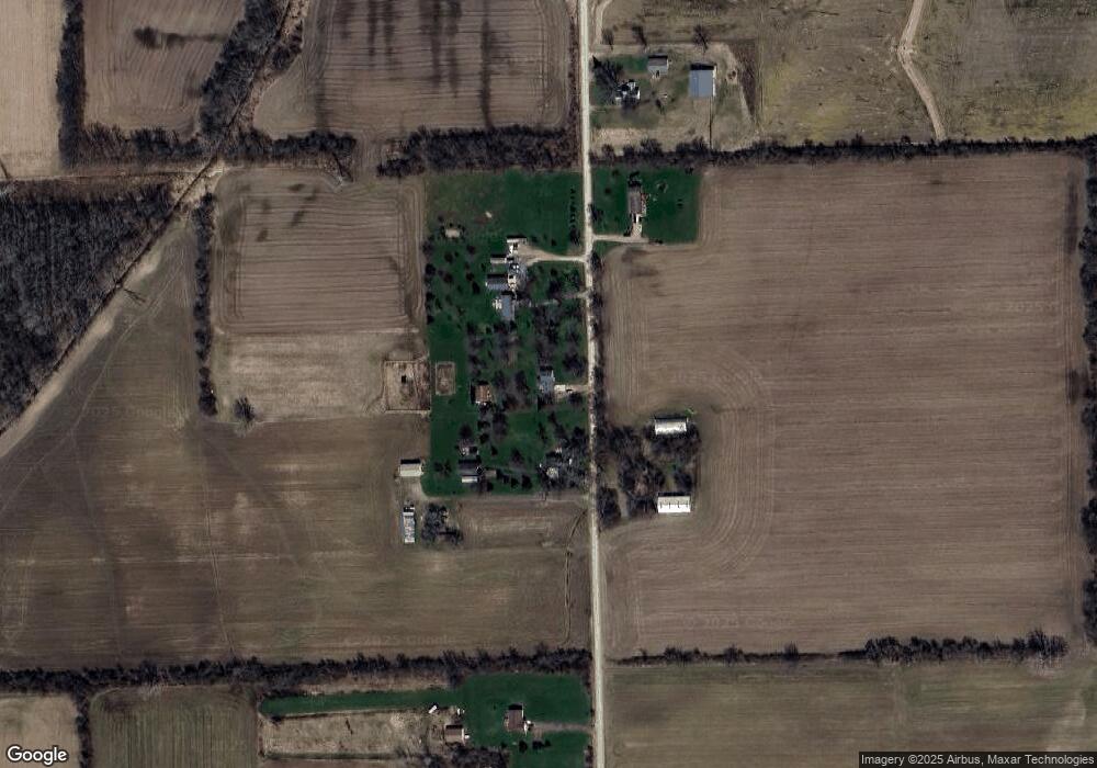
Map
Nearby Homes
- 15330 Hough Rd
- 408 Howell Rd
- 0 Parcel D Almont Rd
- 0 Parcel C Almont Rd
- 0 Parcel E Almont Rd
- 0 (020) Holmes Rd
- 0 (010) Holmes Rd
- 14476 Gilbert Rd
- PAR 1 Capac
- PAR 2 Capac
- Par 4 Capac
- 0 Almont Rd Unit 20250028194
- 5414 Bordman Rd
- 00 Holmes Rd
- VL Capac Rd
- 14150 Hough Rd
- 16303 Almont Rd
- 16465 Almont Rd
- 21790 McPhall Rd
- 14296 Rd