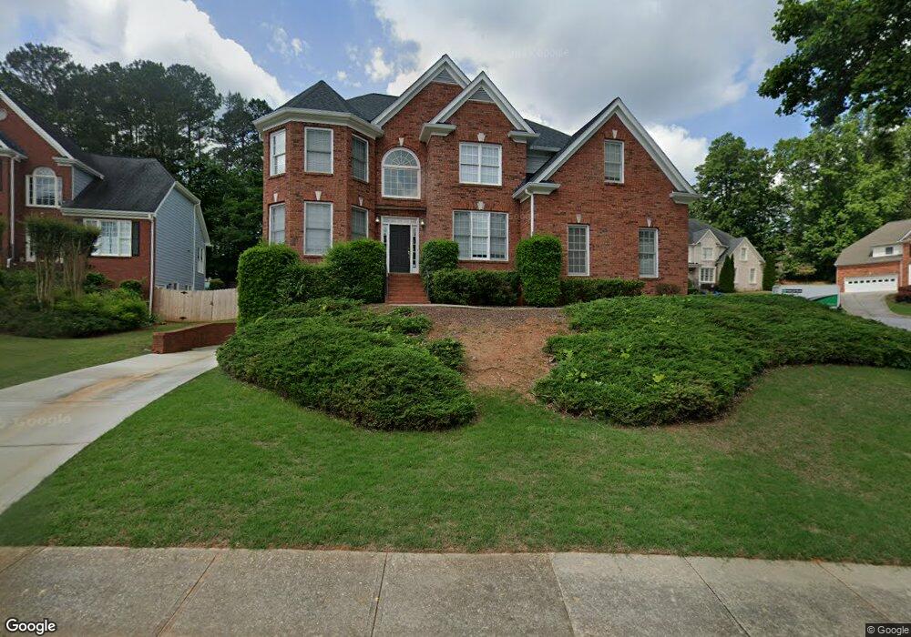
695 Kenion Forest Way Unit 2 Lilburn, GA 30047
Estimated Value: $559,000 - $637,000
5
Beds
4
Baths
3,742
Sq Ft
$157/Sq Ft
Est. Value
About This Home
This home is located at 695 Kenion Forest Way Unit 2, Lilburn, GA 30047 and is currently estimated at $588,944, approximately $157 per square foot. 695 Kenion Forest Way Unit 2 is a home located in Gwinnett County with nearby schools including Camp Creek Elementary School, Trickum Middle School, and Parkview High School.
Ownership History
Date
Name
Owned For
Owner Type
Purchase Details
Closed on
Oct 8, 1998
Sold by
Paintex Inc
Bought by
Paulukaitis David E and Paulukaitis Debpra
Current Estimated Value
Home Financials for this Owner
Home Financials are based on the most recent Mortgage that was taken out on this home.
Original Mortgage
$206,400
Outstanding Balance
$41,901
Interest Rate
6.61%
Mortgage Type
New Conventional
Estimated Equity
$547,043
Create a Home Valuation Report for This Property
The Home Valuation Report is an in-depth analysis detailing your home's value as well as a comparison with similar homes in the area
Home Values in the Area
Average Home Value in this Area
Purchase History
| Date | Buyer | Sale Price | Title Company |
|---|---|---|---|
| Paulukaitis David E | $258,000 | -- |
Source: Public Records
Mortgage History
| Date | Status | Borrower | Loan Amount |
|---|---|---|---|
| Open | Paulukaitis David E | $206,400 |
Source: Public Records
Tax History Compared to Growth
Tax History
| Year | Tax Paid | Tax Assessment Tax Assessment Total Assessment is a certain percentage of the fair market value that is determined by local assessors to be the total taxable value of land and additions on the property. | Land | Improvement |
|---|---|---|---|---|
| 2025 | $6,589 | $242,680 | $36,000 | $206,680 |
| 2024 | $6,744 | $243,280 | $36,000 | $207,280 |
| 2023 | $6,744 | $239,720 | $42,800 | $196,920 |
| 2022 | $6,011 | $209,120 | $31,600 | $177,520 |
| 2021 | $5,125 | $162,120 | $27,600 | $134,520 |
| 2020 | $4,962 | $152,800 | $23,600 | $129,200 |
| 2019 | $4,825 | $152,800 | $23,600 | $129,200 |
| 2018 | $4,542 | $139,240 | $19,200 | $120,040 |
| 2016 | $4,160 | $120,680 | $19,200 | $101,480 |
| 2015 | $4,198 | $120,680 | $19,200 | $101,480 |
| 2014 | -- | $120,680 | $19,200 | $101,480 |
Source: Public Records
Map
Nearby Homes
- 4367 Cedar Wood Dr SW
- 4307 Cedar Wood Dr SW
- 4406 Hale Dr SW
- 676 Killian Hill Rd SW
- 4245 Cedar Creek Trail SW
- 4254 Cedar Creek Trail SW Unit 8
- 4582 Warrior Trail SW
- 551 Killian Hill Rd SW
- 4567 Town Crier Rd SW
- 871 Cedar Trace SW
- 4271 Weston Dr SW
- 1017 Rolling Forest Ln
- 753 Brookwood Terrace SW
- 4704 Arrowhead Trail SW
- 772 Brookwood Terrace SW
- 478 Dorsey Cir SW
- 0 Sunrise Bluff Path
- 705 Kenion Forest Way Unit 2
- 4410 Sunrise Bluff Path Unit 2
- 692 Kenion Forest Way Unit 2
- 715 Kenion Forest Way
- 4425 Sunrise Bluff Path
- 702 Kenion Forest Way
- 675 Kenion Forest Way Unit 2
- 682 Kenion Forest Way
- 4415 Sunrise Bluff Path
- 4364 Catamount Dr SW Unit III
- 4354 Catamount Dr SW Unit III
- 672 Kenion Forest Way
- 672 Kenion Forest Way
- 725 Kenion Forest Way
- 4374 Catamount Dr SW Unit 3
- 712 Kenion Forest Way
- 4344 Catamount Dr SW Unit 3
- 4355 Sleepy Hollow Cove Unit 2
- 6665 Kenion Forest Way