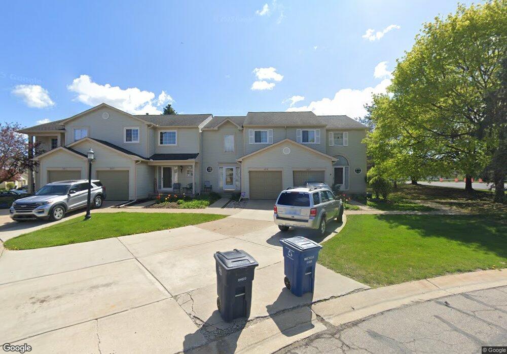
695 Liberty Pointe Dr Unit 2 Ann Arbor, MI 48103
Liberty Glen NeighborhoodEstimated Value: $315,016 - $341,000
3
Beds
3
Baths
1,378
Sq Ft
$240/Sq Ft
Est. Value
About This Home
This home is located at 695 Liberty Pointe Dr Unit 2, Ann Arbor, MI 48103 and is currently estimated at $331,004, approximately $240 per square foot. 695 Liberty Pointe Dr Unit 2 is a home located in Washtenaw County with nearby schools including Lakewood Elementary School, Forsythe Middle School, and Skyline High School.
Ownership History
Date
Name
Owned For
Owner Type
Purchase Details
Closed on
May 21, 2007
Sold by
Percinel Ahmet K and Percinel Rebecca L
Bought by
Emlaw Megan Eileen
Current Estimated Value
Home Financials for this Owner
Home Financials are based on the most recent Mortgage that was taken out on this home.
Original Mortgage
$127,920
Outstanding Balance
$77,980
Interest Rate
6.21%
Mortgage Type
Purchase Money Mortgage
Estimated Equity
$253,025
Purchase Details
Closed on
May 28, 2002
Sold by
Geving Sandra E
Bought by
Percinel Ahmet K
Create a Home Valuation Report for This Property
The Home Valuation Report is an in-depth analysis detailing your home's value as well as a comparison with similar homes in the area
Home Values in the Area
Average Home Value in this Area
Purchase History
| Date | Buyer | Sale Price | Title Company |
|---|---|---|---|
| Emlaw Megan Eileen | $159,990 | Transnation Title | |
| Percinel Ahmet K | $186,500 | -- |
Source: Public Records
Mortgage History
| Date | Status | Borrower | Loan Amount |
|---|---|---|---|
| Open | Emlaw Megan Eileen | $127,920 |
Source: Public Records
Tax History Compared to Growth
Tax History
| Year | Tax Paid | Tax Assessment Tax Assessment Total Assessment is a certain percentage of the fair market value that is determined by local assessors to be the total taxable value of land and additions on the property. | Land | Improvement |
|---|---|---|---|---|
| 2025 | $3,964 | $146,700 | $0 | $0 |
| 2024 | $3,692 | $146,900 | $0 | $0 |
| 2023 | $3,404 | $140,600 | $0 | $0 |
| 2022 | $3,709 | $130,000 | $0 | $0 |
| 2021 | $3,622 | $124,200 | $0 | $0 |
| 2020 | $3,549 | $122,700 | $0 | $0 |
| 2019 | $3,377 | $113,900 | $113,900 | $0 |
| 2018 | $3,330 | $105,800 | $0 | $0 |
| 2017 | $3,239 | $99,600 | $0 | $0 |
| 2016 | $2,759 | $64,777 | $0 | $0 |
| 2015 | $2,976 | $64,584 | $0 | $0 |
| 2014 | $2,976 | $62,566 | $0 | $0 |
| 2013 | -- | $62,566 | $0 | $0 |
Source: Public Records
Map
Nearby Homes
- 813 E Summerfield Glen Cir
- 609 Liberty Pointe Dr Unit 45
- 922 W Summerfield Glen Cir Unit 110
- 2564 W Towne St
- 2509 W Liberty St
- 570 S Maple Rd
- 324 Highlake Ave
- 1053 Bluestem Ln
- 1235 S Maple Rd Unit 202
- 1225 S Maple Rd Unit 307
- 3177 Sunnywood Dr
- 1265 S Maple Rd Unit 207
- 2149 Fair St
- 2120 Pauline Blvd Unit 305
- 2104 Pauline Blvd Unit 305
- 2126 Pauline Blvd Unit 104
- 1366 N Bay Dr Unit 144
- 3224 Lakewood Dr
- 2052 Liberty Heights
- 2033 Pauline Ct
- 697 Liberty Pointe Dr Unit 1
- 693 Liberty Pointe Dr
- 691 Liberty Pointe Dr
- 671 Liberty Pointe Dr
- 673 Liberty Pointe Dr Unit 35
- 675 Liberty Pointe Dr
- 677 Liberty Pointe Dr
- 679 Liberty Pointe Dr
- 645 Liberty Pointe Dr
- 681 Liberty Pointe Dr
- 653 Liberty Pointe Dr Unit 12
- 643 Liberty Pointe Dr Unit 20
- 655 Liberty Pointe Dr
- 683 Liberty Pointe Dr Unit 30
- 696 Liberty Pointe Dr
- 698 Liberty Pointe Dr Unit 5
- 694 Liberty Pointe Dr
- 657 Liberty Pointe Dr
- 641 Liberty Pointe Dr Unit 21
- 690 Liberty Pointe Dr Unit 9