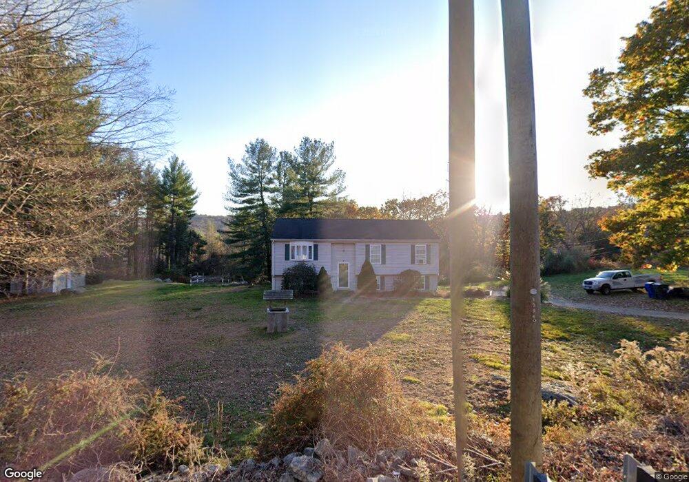
695 Main St Coventry, CT 06238
Estimated Value: $353,000 - $446,000
4
Beds
2
Baths
1,132
Sq Ft
$356/Sq Ft
Est. Value
About This Home
This home is located at 695 Main St, Coventry, CT 06238 and is currently estimated at $402,791, approximately $355 per square foot. 695 Main St is a home located in Tolland County with nearby schools including George Hersey Robertson School, Coventry Grammar School, and Capt. Nathan Hale School.
Ownership History
Date
Name
Owned For
Owner Type
Purchase Details
Closed on
May 9, 2016
Sold by
Cargo Mark D
Bought by
Cargo Sonia M
Current Estimated Value
Purchase Details
Closed on
Oct 1, 2004
Sold by
Fannenschmidt Adam P and Fannenschmidt Andrea P
Bought by
Cargo Mark and Cargo Sonia
Home Financials for this Owner
Home Financials are based on the most recent Mortgage that was taken out on this home.
Original Mortgage
$179,900
Interest Rate
5.81%
Purchase Details
Closed on
Mar 4, 2003
Sold by
Zwick Michele
Bought by
Pfannenschmidt Adam and Pfannenschmidt Andrea
Purchase Details
Closed on
Feb 22, 1996
Sold by
Abode Building & Desig
Bought by
Zwick Michael
Create a Home Valuation Report for This Property
The Home Valuation Report is an in-depth analysis detailing your home's value as well as a comparison with similar homes in the area
Home Values in the Area
Average Home Value in this Area
Purchase History
| Date | Buyer | Sale Price | Title Company |
|---|---|---|---|
| Cargo Sonia M | -- | -- | |
| Cargo Mark | $224,900 | -- | |
| Pfannenschmidt Adam | $195,500 | -- | |
| Zwick Michael | $123,600 | -- | |
| Cargo Sonia M | -- | -- | |
| Cargo Mark | $224,900 | -- | |
| Pfannenschmidt Adam | $195,500 | -- | |
| Zwick Michael | $123,600 | -- |
Source: Public Records
Mortgage History
| Date | Status | Borrower | Loan Amount |
|---|---|---|---|
| Previous Owner | Zwick Michael | $205,000 | |
| Previous Owner | Zwick Michael | $179,900 |
Source: Public Records
Tax History
| Year | Tax Paid | Tax Assessment Tax Assessment Total Assessment is a certain percentage of the fair market value that is determined by local assessors to be the total taxable value of land and additions on the property. | Land | Improvement |
|---|---|---|---|---|
| 2025 | $6,173 | $259,800 | $91,500 | $168,300 |
| 2024 | $5,736 | $172,200 | $84,500 | $87,700 |
| 2023 | $5,466 | $172,200 | $84,500 | $87,700 |
| 2022 | $5,364 | $172,200 | $84,500 | $87,700 |
| 2021 | $5,364 | $172,200 | $84,500 | $87,700 |
| 2020 | $5,367 | $172,200 | $84,500 | $87,700 |
| 2019 | $5,548 | $172,300 | $84,500 | $87,800 |
| 2018 | $5,506 | $171,000 | $86,600 | $84,400 |
| 2017 | $5,472 | $171,000 | $86,600 | $84,400 |
| 2016 | $5,335 | $171,000 | $86,600 | $84,400 |
| 2015 | $5,335 | $171,000 | $86,600 | $84,400 |
| 2014 | $5,834 | $204,900 | $111,100 | $93,800 |
Source: Public Records
Map
Nearby Homes
- 550 High St
- 103 S Street Extension
- 106 S Street Extension
- 457 Stafford Rd
- 55 Whites Hill Rd
- 35 Wyllys Farm Rd
- 31 Wyllys Farm Rd
- 498 Root Rd
- 37 Wyllys Farm Rd
- 0 Woodland Rd
- 198 Forest Rd
- 30 Wyllys Farm Rd
- 58 Candide Ln
- 811 Pucker St
- 0 Oak Dr Unit LOT 33
- 33 Oak Dr
- 152 Cheney Ln
- 149 Hillyndale Rd
- 60 Highland Rd
- 147 Davis Rd
Your Personal Tour Guide
Ask me questions while you tour the home.