695 Mccollum Ln Albany, GA 31705
Estimated Value: $1,178,888
--
Bed
--
Bath
13,680
Sq Ft
$86/Sq Ft
Est. Value
About This Home
This home is located at 695 Mccollum Ln, Albany, GA 31705 and is currently estimated at $1,178,888, approximately $86 per square foot. 695 Mccollum Ln is a home located in Dougherty County with nearby schools including Turner Elementary School, Albany Middle School, and Dougherty Comprehensive High School.
Ownership History
Date
Name
Owned For
Owner Type
Purchase Details
Closed on
Feb 24, 2023
Sold by
Blaze Recycling & Metals Llc
Bought by
Sa Recycling Llc
Current Estimated Value
Purchase Details
Closed on
Aug 1, 2008
Sold by
Mccollum Scott
Bought by
Blaze Recycling Ms Llc
Purchase Details
Closed on
Jan 1, 2002
Sold by
Mccollum
Bought by
Pro South Logistics
Create a Home Valuation Report for This Property
The Home Valuation Report is an in-depth analysis detailing your home's value as well as a comparison with similar homes in the area
Home Values in the Area
Average Home Value in this Area
Purchase History
| Date | Buyer | Sale Price | Title Company |
|---|---|---|---|
| Sa Recycling Llc | $699,700 | -- | |
| Sa Recycling Llc | -- | -- | |
| Blaze Recycling Ms Llc | -- | -- | |
| Mccollum Scott | $730,000 | -- | |
| Pro South Logistics | -- | -- |
Source: Public Records
Tax History Compared to Growth
Tax History
| Year | Tax Paid | Tax Assessment Tax Assessment Total Assessment is a certain percentage of the fair market value that is determined by local assessors to be the total taxable value of land and additions on the property. | Land | Improvement |
|---|---|---|---|---|
| 2024 | $12,933 | $279,880 | $54,240 | $225,640 |
| 2023 | $12,940 | $279,880 | $54,240 | $225,640 |
| 2022 | $12,969 | $279,880 | $54,240 | $225,640 |
| 2021 | $12,006 | $279,880 | $54,240 | $225,640 |
| 2020 | $12,024 | $279,880 | $54,240 | $225,640 |
| 2019 | $12,053 | $279,880 | $54,240 | $225,640 |
| 2018 | $12,084 | $279,880 | $54,240 | $225,640 |
| 2017 | $11,244 | $279,880 | $54,240 | $225,640 |
| 2016 | $11,253 | $279,880 | $54,240 | $225,640 |
| 2015 | $11,272 | $279,880 | $54,240 | $225,640 |
| 2014 | $10,816 | $272,360 | $46,720 | $225,640 |
Source: Public Records
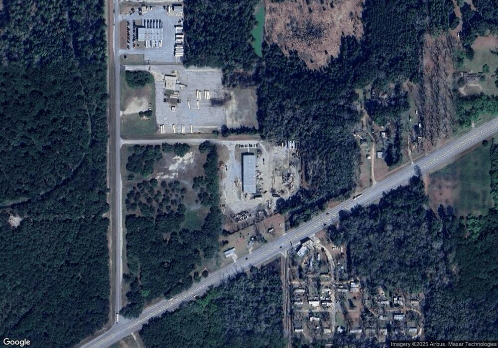
Map
Nearby Homes
- 405 Pine Bluff Rd
- 2802 Banks Ave
- 2731 Yorktown Ave
- 148 Force Dr
- 308 Forrestal Ln
- 3625 Sylvester Rd
- 234 Cone St
- 2529 Cherokee Dr
- 2523 Cherokee Dr
- 3431 Gladys Ct
- 306 Elsom St
- 309 Acorn St
- 307 Acorn St
- 410 Johnson Rd
- 100 Gurr Dr
- 1618 Beverly Ave
- 513 Johnson Rd
- 2006 Keystone Ave
- 2004 Keystone Ave
- 1901 S Flintlock Dr
- 617 Cordele Rd
- 701 Mccollum Ln
- 512 Cordele Rd
- 715 Cordele Rd
- 604 Cordele Rd
- 719 Cordele Rd
- 515 Pine Bluff Rd
- 620 Barstow Dr
- 624 Barstow Dr
- 452/600 Cordele
- 723 Cordele Rd
- 618 Melissa Dr
- 540 Cordele Rd
- 620 Melissa Dr
- 0 Lumpkin St
- 622 Melissa Dr
- 623 Melissa Dr
- 532 Cordele Rd
- 502 Pine Bluff Rd
- 810 Cordele Rd