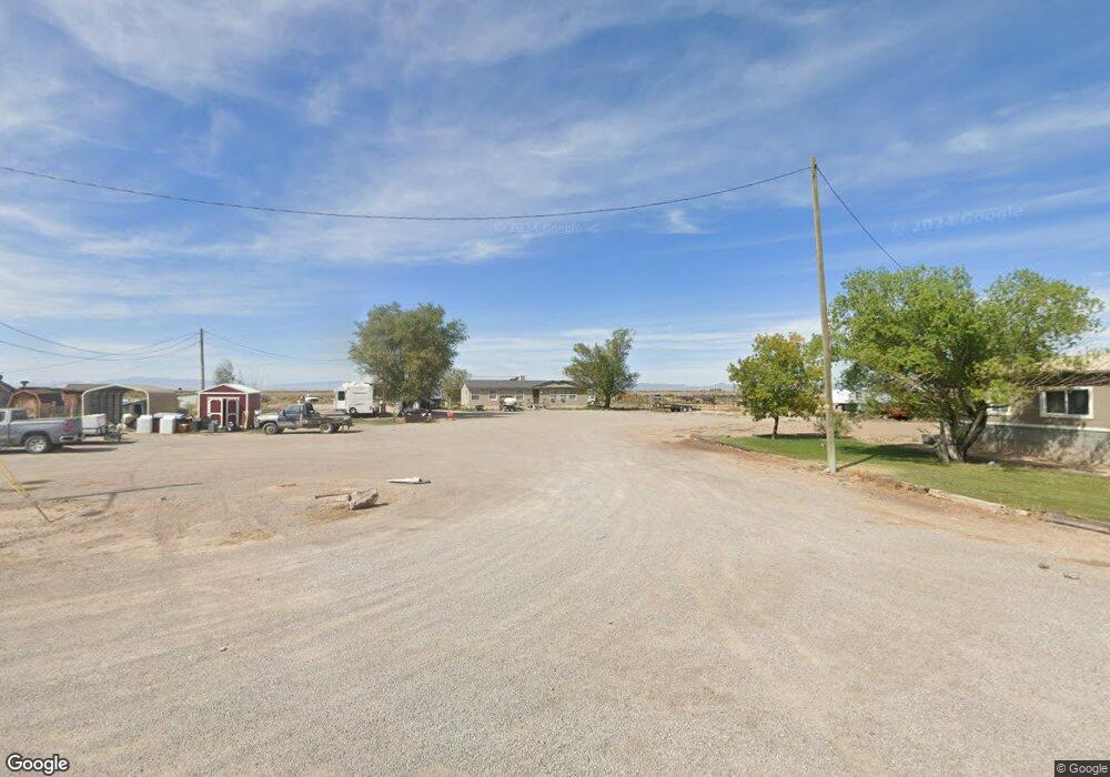
695 N 400 W Hinckley, UT 84635
Estimated Value: $156,000 - $268,000
--
Bed
--
Bath
--
Sq Ft
3.4
Acres
About This Home
This home is located at 695 N 400 W, Hinckley, UT 84635 and is currently estimated at $212,000. 695 N 400 W is a home.
Ownership History
Date
Name
Owned For
Owner Type
Purchase Details
Closed on
Mar 1, 2022
Sold by
Bradsahw Trent J
Bought by
Bradshaw Trent J and Bradshaw Holti R
Current Estimated Value
Home Financials for this Owner
Home Financials are based on the most recent Mortgage that was taken out on this home.
Original Mortgage
$150,000
Interest Rate
3.69%
Mortgage Type
Construction
Purchase Details
Closed on
Apr 4, 2016
Sold by
Bradshaw Trent J
Bought by
American First Federal Cu
Purchase Details
Closed on
Aug 19, 2005
Sold by
Federal National Mortgage Association
Bought by
Bradshaw Trent J
Create a Home Valuation Report for This Property
The Home Valuation Report is an in-depth analysis detailing your home's value as well as a comparison with similar homes in the area
Home Values in the Area
Average Home Value in this Area
Purchase History
| Date | Buyer | Sale Price | Title Company |
|---|---|---|---|
| Bradshaw Trent J | -- | New Title Company Name | |
| American First Federal Cu | $72,000 | -- | |
| Bradshaw Trent J | $55,000 | United Title Services |
Source: Public Records
Mortgage History
| Date | Status | Borrower | Loan Amount |
|---|---|---|---|
| Closed | Bradshaw Trent J | $150,000 | |
| Closed | Bradshaw Trent J | $0 |
Source: Public Records
Tax History Compared to Growth
Tax History
| Year | Tax Paid | Tax Assessment Tax Assessment Total Assessment is a certain percentage of the fair market value that is determined by local assessors to be the total taxable value of land and additions on the property. | Land | Improvement |
|---|---|---|---|---|
| 2025 | $1,292 | $153,581 | $41,407 | $112,174 |
| 2024 | $1,292 | $102,562 | $11,470 | $91,092 |
| 2023 | $1,298 | $102,562 | $11,470 | $91,092 |
| 2022 | $987 | $83,144 | $10,427 | $72,717 |
| 2021 | $734 | $58,823 | $8,689 | $50,134 |
| 2020 | $603 | $48,305 | $8,275 | $40,030 |
| 2019 | $578 | $46,685 | $6,655 | $40,030 |
| 2018 | $564 | $46,685 | $6,655 | $40,030 |
| 2017 | $587 | $46,685 | $6,655 | $40,030 |
| 2016 | $563 | $46,685 | $6,655 | $40,030 |
| 2015 | $544 | $45,011 | $6,655 | $38,356 |
| 2014 | -- | $45,011 | $6,655 | $38,356 |
| 2013 | -- | $43,894 | $6,655 | $37,239 |
Source: Public Records
Map
Nearby Homes
- 168 N 100 Rd W
- 289 W Center St S
- 1040 W Center St
- 6500 W 2000 S
- 700 Acres
- 1500 S 10000 W
- 6000 N 10000 W
- 700 Acres Hwy 6 & Main St (Hwy 50)
- 2000 E 10500 N
- 6200 S 3000 W
- 3480 S 4000 W
- 3770 S 4000 Rd W
- 0 Tbd 3000 Rd S Unit LotWP001
- 6177 S 3000 Rd W
- 3885 W 4500 S
- 17000 W 2500 Rd S
- 16700 W 2500 South Rd
- 16800 W 2500 South Rd
- 470 S 2750 W Unit 6
- 460 S 2750 W Unit 7