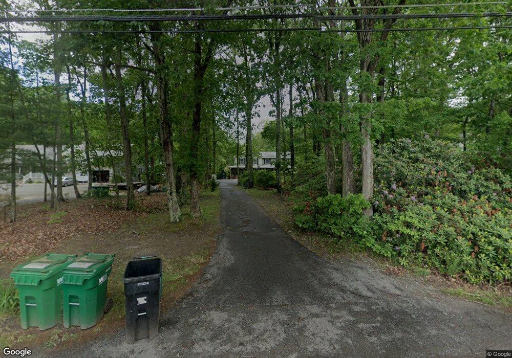
695 Pinehurst Rd Plumsted Township, NJ 08533
Estimated Value: $586,000 - $940,000
4
Beds
4
Baths
2,873
Sq Ft
$250/Sq Ft
Est. Value
About This Home
This home is located at 695 Pinehurst Rd, Plumsted Township, NJ 08533 and is currently estimated at $717,292, approximately $249 per square foot. 695 Pinehurst Rd is a home located in Ocean County with nearby schools including Dr. Gerald H. Woehr Elementary School, New Egypt Middle School, and New Egypt High School.
Ownership History
Date
Name
Owned For
Owner Type
Purchase Details
Closed on
Sep 12, 2019
Sold by
Roveda Michelle C
Bought by
Roveda Jacob B
Current Estimated Value
Purchase Details
Closed on
Nov 30, 2007
Sold by
Brocklebank Timothy W and Brocklebank Anne
Bought by
Roveda Jacob B
Home Financials for this Owner
Home Financials are based on the most recent Mortgage that was taken out on this home.
Original Mortgage
$36,600
Interest Rate
6.37%
Mortgage Type
Stand Alone Second
Purchase Details
Closed on
Jan 13, 1994
Sold by
Lederer Magalena
Bought by
Brocklebank Timothy W and Brocklebank Anne
Home Financials for this Owner
Home Financials are based on the most recent Mortgage that was taken out on this home.
Original Mortgage
$132,000
Interest Rate
7.11%
Create a Home Valuation Report for This Property
The Home Valuation Report is an in-depth analysis detailing your home's value as well as a comparison with similar homes in the area
Home Values in the Area
Average Home Value in this Area
Purchase History
| Date | Buyer | Sale Price | Title Company |
|---|---|---|---|
| Roveda Jacob B | -- | None Available | |
| Roveda Jacob B | $382,000 | First Heritage Title Agency | |
| Brocklebank Timothy W | $165,000 | -- |
Source: Public Records
Mortgage History
| Date | Status | Borrower | Loan Amount |
|---|---|---|---|
| Previous Owner | Roveda Jacob B | $36,600 | |
| Previous Owner | Roveda Jacob B | $305,600 | |
| Previous Owner | Brocklebank Timothy W | $132,000 |
Source: Public Records
Tax History Compared to Growth
Tax History
| Year | Tax Paid | Tax Assessment Tax Assessment Total Assessment is a certain percentage of the fair market value that is determined by local assessors to be the total taxable value of land and additions on the property. | Land | Improvement |
|---|---|---|---|---|
| 2025 | $8,910 | $286,400 | $122,300 | $164,100 |
| 2024 | $8,314 | $286,400 | $122,300 | $164,100 |
| 2023 | $7,933 | $286,400 | $122,300 | $164,100 |
| 2022 | $7,933 | $286,400 | $122,300 | $164,100 |
| 2021 | $7,655 | $286,400 | $122,300 | $164,100 |
| 2020 | $7,478 | $286,400 | $122,300 | $164,100 |
| 2019 | $7,323 | $286,400 | $122,300 | $164,100 |
| 2018 | $7,452 | $286,400 | $122,300 | $164,100 |
| 2017 | $8,159 | $319,100 | $122,300 | $196,800 |
| 2016 | $6,960 | $276,200 | $122,300 | $153,900 |
| 2015 | $6,764 | $276,200 | $122,300 | $153,900 |
| 2014 | $6,607 | $276,200 | $122,300 | $153,900 |
Source: Public Records
Map
Nearby Homes
- 720 Pinehurst Rd
- 280 Lakewood Rd
- 254 Lakewood Rd
- 138 Hemlock Dr
- 257 Long Swamp Rd
- 5 Buckalew Ln
- 825 Route 539
- 3 E Caines Dr
- 510 Pinehurst Rd
- 8 Alyssa Rose Ln
- 167 Long Swamp Rd
- 353 Fieldcrest Dr
- 19 Oakwood Dr
- 3 Applegate Ln
- 380 E Millstream Rd
- 393 E Millstream Rd
- 6 Bane Ln
- 49 Highbridge Rd
- 3 Copperfield Dr
- 10 Postal Rd