695 Rocky Branch Rd Clarkesville, GA 30523
Estimated Value: $479,301 - $597,000
4
Beds
4
Baths
3,743
Sq Ft
$139/Sq Ft
Est. Value
About This Home
This home is located at 695 Rocky Branch Rd, Clarkesville, GA 30523 and is currently estimated at $521,575, approximately $139 per square foot. 695 Rocky Branch Rd is a home located in Habersham County with nearby schools including Clarkesville Elementary School, North Habersham Middle School, and Habersham Success Academy.
Ownership History
Date
Name
Owned For
Owner Type
Purchase Details
Closed on
May 11, 2018
Sold by
Berkshire Jarrod
Bought by
Dudley Beverly J
Current Estimated Value
Home Financials for this Owner
Home Financials are based on the most recent Mortgage that was taken out on this home.
Original Mortgage
$101,200
Outstanding Balance
$87,137
Interest Rate
4.4%
Mortgage Type
New Conventional
Estimated Equity
$434,438
Purchase Details
Closed on
Jun 10, 2016
Sold by
Deadwyler Betty W
Bought by
Berkshire Jarrod and Berkshire Julie
Home Financials for this Owner
Home Financials are based on the most recent Mortgage that was taken out on this home.
Original Mortgage
$210,600
Interest Rate
3.57%
Mortgage Type
New Conventional
Purchase Details
Closed on
Sep 23, 2010
Sold by
Deadwyler George V
Bought by
Deadwyler Betty W
Create a Home Valuation Report for This Property
The Home Valuation Report is an in-depth analysis detailing your home's value as well as a comparison with similar homes in the area
Home Values in the Area
Average Home Value in this Area
Purchase History
| Date | Buyer | Sale Price | Title Company |
|---|---|---|---|
| Dudley Beverly J | $245,000 | -- | |
| Berkshire Jarrod | $234,000 | -- | |
| Deadwyler Betty W | -- | -- |
Source: Public Records
Mortgage History
| Date | Status | Borrower | Loan Amount |
|---|---|---|---|
| Open | Dudley Beverly J | $101,200 | |
| Previous Owner | Berkshire Jarrod | $210,600 |
Source: Public Records
Tax History Compared to Growth
Tax History
| Year | Tax Paid | Tax Assessment Tax Assessment Total Assessment is a certain percentage of the fair market value that is determined by local assessors to be the total taxable value of land and additions on the property. | Land | Improvement |
|---|---|---|---|---|
| 2025 | $6,714 | $179,532 | $24,172 | $155,360 |
| 2024 | $4,001 | $154,136 | $17,624 | $136,512 |
| 2023 | $3,275 | $130,984 | $17,624 | $113,360 |
| 2022 | $3,053 | $117,076 | $17,624 | $99,452 |
| 2021 | $2,904 | $111,868 | $17,624 | $94,244 |
| 2020 | $2,661 | $98,940 | $17,624 | $81,316 |
| 2019 | $2,638 | $98,940 | $17,624 | $81,316 |
| 2018 | $2,534 | $100,404 | $17,624 | $82,780 |
| 2017 | $2,447 | $93,600 | $17,624 | $75,976 |
| 2016 | $934 | $225,500 | $17,624 | $72,576 |
| 2015 | $902 | $225,500 | $17,624 | $72,576 |
| 2014 | $900 | $222,170 | $17,624 | $71,244 |
| 2013 | -- | $88,868 | $17,624 | $71,244 |
Source: Public Records
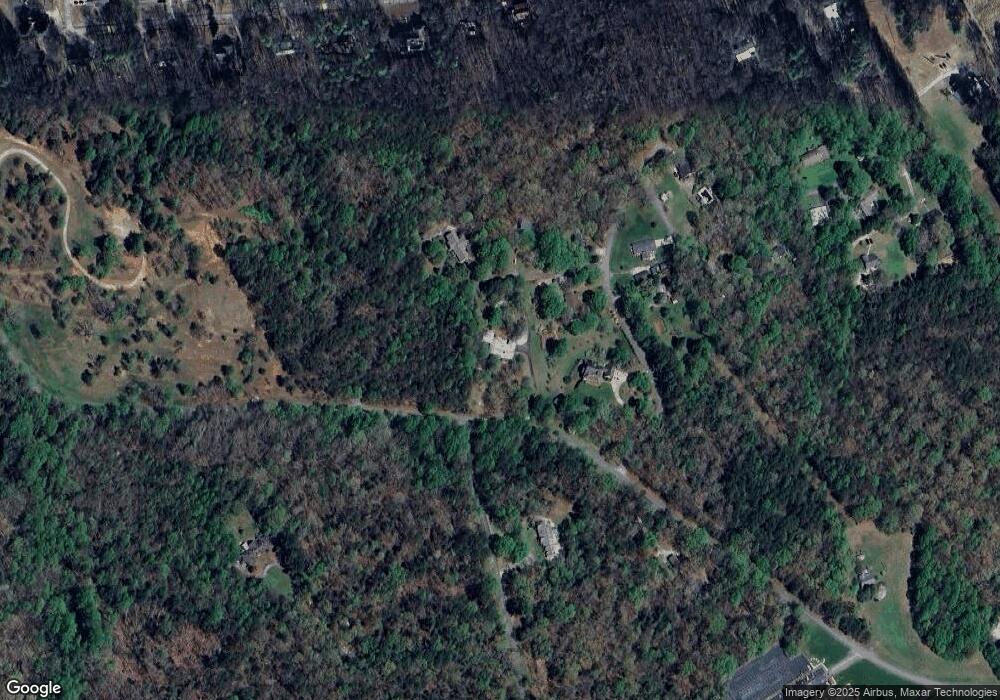
Map
Nearby Homes
- 253 Lacount Ln
- 4230 Hollywood Hwy
- 395 E Louise St
- 135 Village Dr
- 205 Flesner Ct
- 745 Washington St
- 643 Washington St
- 176 Llewellyn St
- 172 Llewellyn St
- 180 Llewellyn St
- 382 Sherwood Dr
- 0 Ivy Ridge Way Unit LOT 40 10327774
- 0 Ivy Ridge Way Unit LOT 6 10487513
- 0 Ivy Ridge Way Unit LOT 50 10487398
- 325 Springwood Dr
- 0 Highlands Lake Trail Unit LOT 30 10600443
- 0 Highlands Lake Trail Unit 7646133
- 449 E Water St
- 447 E Water St
- 451 E Water St
- 292 Emily Dr Unit A
- 137 Barron Dr
- 269 Emily Dr
- 251 Barron Dr
- 227 Emily Dr
- 0 Rocky Branch Rd Unit 3283286
- 0 Rocky Branch Rd Unit 7545616
- 0 Rocky Branch Rd Unit 3196240
- 0 Rocky Branch Rd Unit 3094585
- 198 Barron Dr
- 304 Barron Dr
- 368 Arrendale St
- 368 Arrendale St
- 368 Arrendale St
- 0 Emily Dr Unit 7499003
- 0 Emily Dr Unit 3240049
- 0 Emily Dr Unit 7635103
- 346 Barron Dr
- 295 Barron Dr
- 852 Rocky Branch Rd