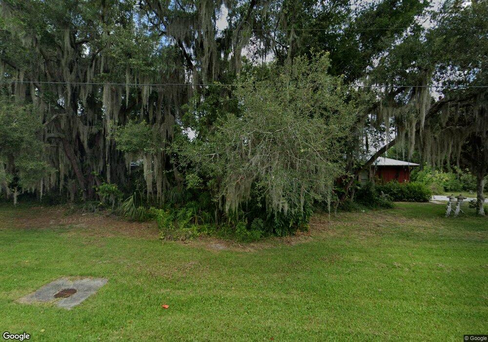
695 W Lorraine Dr Deltona, FL 32725
Estimated Value: $430,000 - $496,000
3
Beds
2
Baths
2,966
Sq Ft
$159/Sq Ft
Est. Value
About This Home
This home is located at 695 W Lorraine Dr, Deltona, FL 32725 and is currently estimated at $470,861, approximately $158 per square foot. 695 W Lorraine Dr is a home located in Volusia County with nearby schools including Forest Lake Elementary School, Deltona Middle School, and University High School.
Ownership History
Date
Name
Owned For
Owner Type
Purchase Details
Closed on
Dec 14, 2015
Sold by
Levendorf Melvin
Bought by
Leiba Paul and Jones Roberts Doreen E
Current Estimated Value
Purchase Details
Closed on
Oct 10, 1997
Sold by
Levendorf Melvin and Levendorf Dolores
Bought by
Levendorf Melvin
Purchase Details
Closed on
Nov 15, 1988
Bought by
Leiba Paul
Purchase Details
Closed on
Oct 15, 1979
Bought by
Leiba Paul
Purchase Details
Closed on
Apr 15, 1968
Bought by
Leiba Paul
Create a Home Valuation Report for This Property
The Home Valuation Report is an in-depth analysis detailing your home's value as well as a comparison with similar homes in the area
Home Values in the Area
Average Home Value in this Area
Purchase History
| Date | Buyer | Sale Price | Title Company |
|---|---|---|---|
| Leiba Paul | -- | None Available | |
| Leiba Paul | -- | None Available | |
| Levendorf Melvin | -- | -- | |
| Leiba Paul | $147,500 | -- | |
| Leiba Paul | $18,000 | -- | |
| Leiba Paul | $4,700 | -- |
Source: Public Records
Tax History Compared to Growth
Tax History
| Year | Tax Paid | Tax Assessment Tax Assessment Total Assessment is a certain percentage of the fair market value that is determined by local assessors to be the total taxable value of land and additions on the property. | Land | Improvement |
|---|---|---|---|---|
| 2025 | $4,546 | $303,506 | -- | -- |
| 2024 | $4,546 | $303,811 | -- | -- |
| 2023 | $4,546 | $318,149 | $0 | $0 |
| 2022 | $4,123 | $264,632 | $0 | $0 |
| 2021 | $3,854 | $212,554 | $0 | $0 |
| 2019 | $3,714 | $192,629 | $0 | $0 |
| 2018 | $3,543 | $184,710 | $0 | $0 |
| 2017 | $3,570 | $179,712 | $0 | $0 |
| 2016 | $3,063 | $159,819 | $0 | $0 |
| 2015 | $2,332 | $127,476 | $0 | $0 |
| 2014 | $2,310 | $126,464 | $0 | $0 |
Source: Public Records
Map
Nearby Homes
- 1680 E Normandy Blvd
- 1580 E Normandy Blvd
- 790 Pine Bluff Ave
- 1768 E Normandy Blvd
- 1778 E Normandy Blvd
- 1788 E Normandy Blvd
- 579 W Kingway Dr
- 868 Saxon Blvd
- 560 Saxon Blvd
- 887 Picasso Ave
- 1501 E Normandy Blvd
- 910 W Village Dr
- 555 Cavalier Ave
- 1486 Randolph St
- 1771 S Village Dr
- 1901 Odham Dr
- 460 Hidden Ridge Dr
- 549 Mcneal Dr
- 881 Goldcoast Dr
- 985 N Village Dr
- 715 W Lorraine Dr
- 680 W Lorraine Dr
- 725 W Lorraine Dr
- 710 W Lorraine Dr
- 665 W Lorraine Dr
- S Oxford Dr
- S Oxford Dr
- 720 W Lorraine Dr
- 735 W Lorraine Dr
- 1675 E Normandy Blvd
- 730 W Lorraine Dr
- 1670 S Oxford Dr
- 1640 S Oxford Dr Unit 11
- 660 W Lorraine Dr
- 655 W Lorraine Dr
- 0 S Lorraine Dr Unit V4720988
- 0 S Lorraine Dr Unit MFRV4932557
- 1681 S Oxford Dr
- 1654 E Normandy Blvd
