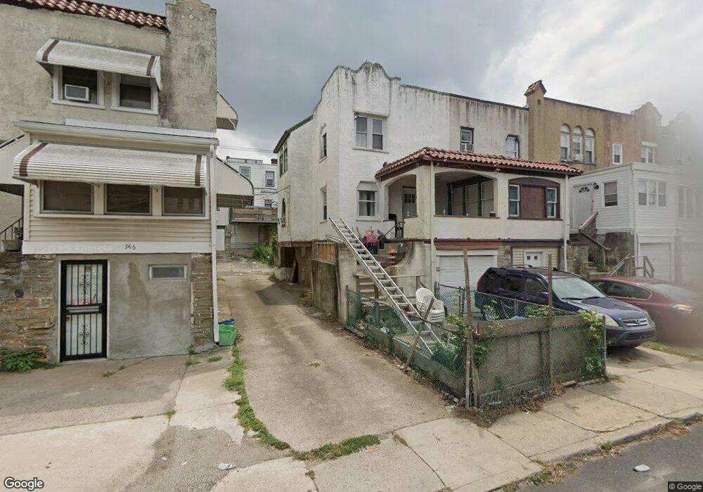
6950 Aberdeen Rd Upper Darby, PA 19082
Estimated Value: $115,000 - $127,000
3
Beds
1
Bath
973
Sq Ft
$126/Sq Ft
Est. Value
About This Home
This home is located at 6950 Aberdeen Rd, Upper Darby, PA 19082 and is currently estimated at $122,553, approximately $125 per square foot. 6950 Aberdeen Rd is a home located in Delaware County with nearby schools including Upper Darby Kdg Center, Upper Darby High School, and Vision Academy Charter School.
Ownership History
Date
Name
Owned For
Owner Type
Purchase Details
Closed on
Feb 24, 2005
Sold by
Sanders Dawn M
Bought by
Jamil Zawadul and Jamil Sultana
Current Estimated Value
Home Financials for this Owner
Home Financials are based on the most recent Mortgage that was taken out on this home.
Original Mortgage
$48,000
Interest Rate
5.1%
Mortgage Type
Fannie Mae Freddie Mac
Purchase Details
Closed on
Mar 22, 2002
Sold by
Beissel Joseph
Bought by
Sanders Dawn M
Home Financials for this Owner
Home Financials are based on the most recent Mortgage that was taken out on this home.
Original Mortgage
$44,602
Interest Rate
6.88%
Mortgage Type
FHA
Create a Home Valuation Report for This Property
The Home Valuation Report is an in-depth analysis detailing your home's value as well as a comparison with similar homes in the area
Home Values in the Area
Average Home Value in this Area
Purchase History
| Date | Buyer | Sale Price | Title Company |
|---|---|---|---|
| Jamil Zawadul | $60,000 | -- | |
| Sanders Dawn M | $44,500 | Commonwealth Land Title Ins |
Source: Public Records
Mortgage History
| Date | Status | Borrower | Loan Amount |
|---|---|---|---|
| Closed | Jamil Zawadul | $48,000 | |
| Previous Owner | Sanders Dawn M | $44,602 |
Source: Public Records
Tax History Compared to Growth
Tax History
| Year | Tax Paid | Tax Assessment Tax Assessment Total Assessment is a certain percentage of the fair market value that is determined by local assessors to be the total taxable value of land and additions on the property. | Land | Improvement |
|---|---|---|---|---|
| 2025 | $2,252 | $53,250 | $13,620 | $39,630 |
| 2024 | $2,252 | $53,250 | $13,620 | $39,630 |
| 2023 | $2,231 | $53,250 | $13,620 | $39,630 |
| 2022 | $2,171 | $53,250 | $13,620 | $39,630 |
| 2021 | $2,927 | $53,250 | $13,620 | $39,630 |
| 2020 | $2,966 | $45,850 | $12,380 | $33,470 |
| 2019 | $2,914 | $45,850 | $12,380 | $33,470 |
| 2018 | $2,880 | $45,850 | $0 | $0 |
| 2017 | $2,805 | $45,850 | $0 | $0 |
| 2016 | $252 | $45,850 | $0 | $0 |
| 2015 | $252 | $45,850 | $0 | $0 |
| 2014 | $252 | $45,850 | $0 | $0 |
Source: Public Records
Map
Nearby Homes
- 7066 Clover Ln
- 6982 Clinton Rd
- 6858 Clover Ln
- 7000 Greenwood Ave
- 577 Snowden Rd
- 607 Briarcliff Rd
- 703 Briarcliff Rd
- 525 Wiltshire Rd
- 7162 Radbourne Rd
- 7155 Radbourne Rd
- 7123 Seaford Rd
- 517 Wiltshire Rd
- 607 Littlecroft Rd
- 7026 Atlantic Ave
- 669 Long Ln
- 513 Woodcliffe Rd
- 504 Woodcliffe Rd
- 121 Beverly Ave
- 7139 Guilford Rd
- 6243 Carpenter St
- 6952 Aberdeen Rd
- 6947 Clinton Rd
- 6954 Aberdeen Rd
- 6944 Guilford Rd
- 6956 Aberdeen Rd
- 6942 Guilford Rd
- 6958 Aberdeen Rd
- 6949 Clinton Rd
- 6946 Guilford Rd
- 6951 Clinton Rd
- 6945 Clinton Rd
- 6953 Clinton Rd
- 6940 Guilford Rd
- 6943 Clinton Rd
- 6955 Clinton Rd
- 6941 Clinton Rd
- 6938 Guilford Rd
- 6962 Aberdeen Rd
- 6957 Clinton Rd
- 6957 Guilford Rd