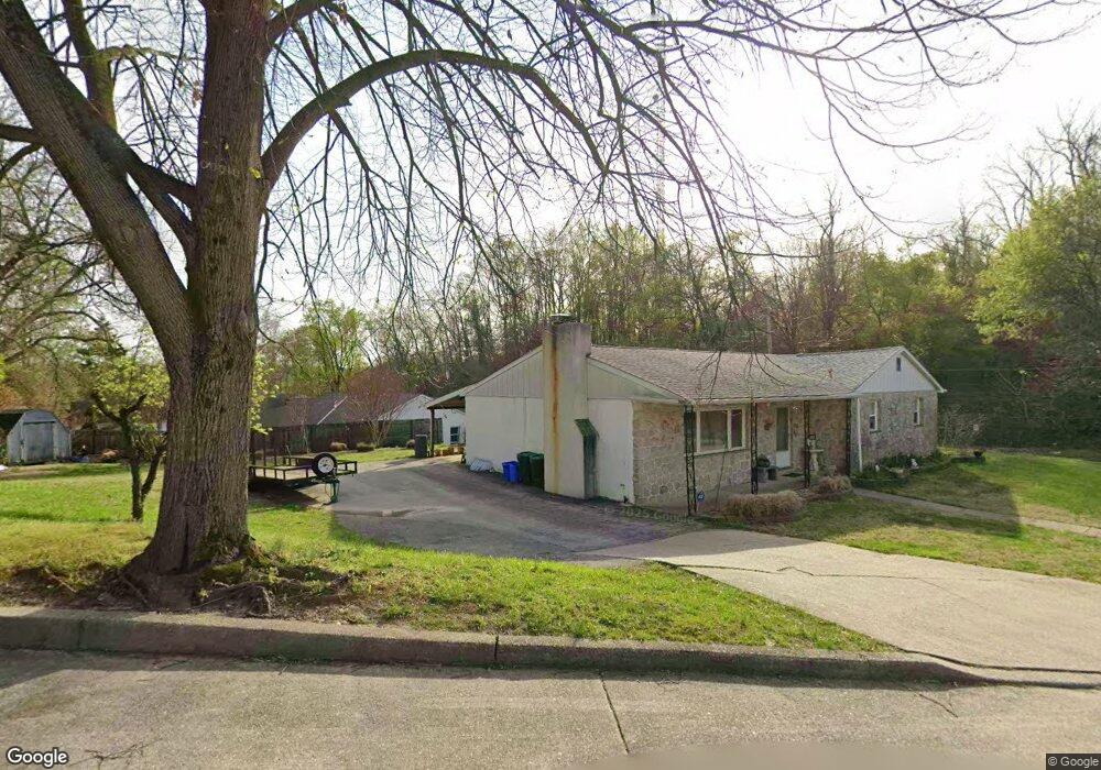
6950 Cliff Rd Philadelphia, PA 19128
Upper Roxborough NeighborhoodEstimated Value: $429,000 - $533,000
3
Beds
--
Bath
1,632
Sq Ft
$282/Sq Ft
Est. Value
About This Home
This home is located at 6950 Cliff Rd, Philadelphia, PA 19128 and is currently estimated at $459,456, approximately $281 per square foot. 6950 Cliff Rd is a home located in Philadelphia County with nearby schools including Shawmont School, Roxborough High School, and Green Woods CS.
Ownership History
Date
Name
Owned For
Owner Type
Purchase Details
Closed on
Nov 7, 2023
Sold by
Perillo Joseph A and Perillo Elena
Bought by
Perillo Elena
Current Estimated Value
Purchase Details
Closed on
Feb 17, 2017
Sold by
Perillo Joseph A and Perillo Elena
Bought by
Perillo Joseph A and Perillo Elena
Purchase Details
Closed on
Jan 28, 1985
Bought by
Perillo Joseph A and Perillo Elena
Create a Home Valuation Report for This Property
The Home Valuation Report is an in-depth analysis detailing your home's value as well as a comparison with similar homes in the area
Home Values in the Area
Average Home Value in this Area
Purchase History
| Date | Buyer | Sale Price | Title Company |
|---|---|---|---|
| Perillo Elena | -- | None Listed On Document | |
| Perillo Joseph A | -- | None Available | |
| Perillo Joseph A | -- | -- |
Source: Public Records
Tax History Compared to Growth
Tax History
| Year | Tax Paid | Tax Assessment Tax Assessment Total Assessment is a certain percentage of the fair market value that is determined by local assessors to be the total taxable value of land and additions on the property. | Land | Improvement |
|---|---|---|---|---|
| 2025 | $4,534 | $402,800 | $80,560 | $322,240 |
| 2024 | $4,534 | $402,800 | $80,560 | $322,240 |
| 2023 | $4,534 | $323,900 | $64,780 | $259,120 |
| 2022 | $3,904 | $278,900 | $64,780 | $214,120 |
| 2021 | $3,673 | $0 | $0 | $0 |
| 2020 | $3,673 | $0 | $0 | $0 |
| 2019 | $3,610 | $0 | $0 | $0 |
| 2018 | $3,283 | $0 | $0 | $0 |
| 2017 | $2,905 | $0 | $0 | $0 |
| 2016 | $2,905 | $0 | $0 | $0 |
| 2015 | $2,781 | $0 | $0 | $0 |
| 2014 | -- | $237,500 | $215,298 | $22,202 |
| 2012 | -- | $31,040 | $4,268 | $26,772 |
Source: Public Records
Map
Nearby Homes
- 6944 Manti St
- 235 Paoli Ave
- 284 Parker Ave
- 255 Parker Ave
- 286 Parker Ave Unit G
- 6991 Silverwood St
- 6983 Silverwood St
- 6706 Cinnaminson Ct
- 6707 Cinnaminson Ct
- 6713 Cinnamon Dr
- 257 Lemonte St
- 6709 Cinnamon Dr
- 259 Delmar St
- 261 Delmar St
- 263 Delmar St
- 257 Delmar St
- 273 Delmar St
- 273 & 275 Delmar St
- 311 Delmar St
- 6805 Mitchell St
- 301 Paoli Ave
- 6934 Cliff Rd
- 6965 Cliff Rd
- 6957 Cliff Rd
- 275 Paoli Ave
- 346 Leroy St
- 273 Paoli Ave
- 362 Livezey St
- 6918 Cliff Rd
- 325 Paoli Ave
- 364 Livezey St Unit B
- 364 Livezey St
- 364 Livezey St Unit A
- 271 Paoli Ave
- 364 Livezey St #B St Unit B
- 327 Paoli Ave
- 261 Paoli Ave
- 329 Paoli Ave
- 366 Livezey St
- 357 Livezey St