Estimated Value: $343,000 - $1,026,141
4
Beds
1
Bath
2,184
Sq Ft
$313/Sq Ft
Est. Value
About This Home
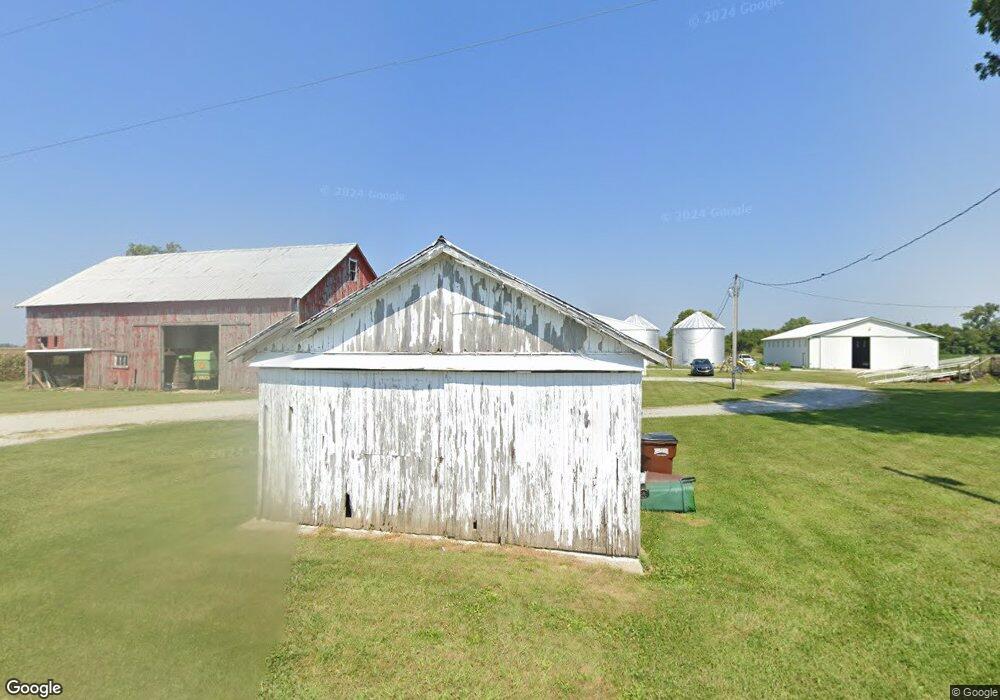
This home is located at 6951 Paddock Rd, Eaton, OH 45320 and is currently estimated at $684,571, approximately $313 per square foot. 6951 Paddock Rd is a home located in Preble County with nearby schools including National Trail Elementary School, National Trail Middle School, and National Trail High School.
Ownership History
Date
Name
Owned For
Owner Type
Purchase Details
Closed on
Aug 16, 2021
Sold by
Larsh Dennis L and Larsh Kathy M
Bought by
Pleasant Sarah and Larsh Dennis L
Current Estimated Value
Purchase Details
Closed on
Dec 22, 2017
Bought by
Larsh Dennis L and Larsh Kathy M
Purchase Details
Closed on
Jul 3, 2013
Sold by
Larsh Gordon K
Bought by
Larsh Gordon K and Gordon K Larsh Living Trust
Create a Home Valuation Report for This Property
The Home Valuation Report is an in-depth analysis detailing your home's value as well as a comparison with similar homes in the area
Purchase History
| Date | Buyer | Sale Price | Title Company |
|---|---|---|---|
| Pleasant Sarah | -- | None Available | |
| Dennis L Larsh And Kathy M Larsh Irrevocable | -- | None Listed On Document | |
| Larsh Dennis L | -- | -- | |
| Larsh Gordon K | -- | None Available |
Source: Public Records
Tax History
| Year | Tax Paid | Tax Assessment Tax Assessment Total Assessment is a certain percentage of the fair market value that is determined by local assessors to be the total taxable value of land and additions on the property. | Land | Improvement |
|---|---|---|---|---|
| 2025 | $4,645 | $334,660 | $291,330 | $43,330 |
| 2024 | $4,645 | $334,660 | $291,330 | $43,330 |
| 2023 | $4,714 | $334,660 | $291,330 | $43,330 |
| 2022 | $3,087 | $86,180 | $51,840 | $34,340 |
| 2021 | $3,274 | $274,100 | $239,760 | $34,340 |
| 2020 | $3,079 | $274,100 | $239,760 | $34,340 |
| 2019 | $4,061 | $260,150 | $228,330 | $31,820 |
| 2018 | $4,230 | $260,150 | $228,330 | $31,820 |
| 2017 | $4,307 | $260,150 | $228,330 | $31,820 |
| 2016 | $4,692 | $213,640 | $191,130 | $22,510 |
| 2014 | $2,643 | $214,590 | $191,100 | $23,490 |
| 2013 | $2,643 | $175,385 | $151,900 | $23,485 |
Source: Public Records
Map
Nearby Homes
- 3127 Upshur Northern Rd
- 6007 Murray Rd
- 10051 State Route 320
- 5.71A Greenmount Pike
- 5191 State Route 320
- 4969 Greenmount Pike
- 6897 U S 40
- 0 & 00 Washington Jackson Rd
- 0 Industrial Pkwy Unit 202406115
- 0 Industrial Pkwy Unit 10048533
- 12.24 ACRES S 52nd St
- 2334 Niewoehner Rd
- 1100 Kingston Ct
- 1111 Archdale Dr
- 1110 Archdale
- 3715 Sandbridge Dr
- 1111 Danbury Ln
- 3568 State Road 227 S
- 1601 Hunters Pointe Dr
- 3402 Deer Park Ct
- 2008 W Florence Campbellstown Rd
- 2318 W Florence Campbellstown Rd
- 7312 Paddock Rd
- 1637 W Florence Campbellstown Rd
- 2579 W Florence Campbellstown Rd
- 2570 W Florence Campbellstown Rd
- 2578 W Florence Campbellstown Rd
- 2643 W Florence Campbellstown Rd
- 1537 W Florence Campbellstown Rd
- 2667 W Florence Campbellstown Rd
- 2699 W Florence Campbellstown Rd
- 2882 W Florence Campbellstown Rd
- 1287 W Florence Campbellstown Rd
- 2860 W Florence Campbellstown Rd
- 2551 Wolverton Rd
- 7767 Paddock Rd
- 1228 W Florence Campbellstown Rd
- 2982 W Florence Campbellstown Rd
- 3011 W Florence Campbellstown Rd
- 3006 W Florence Campbellstown Rd
Your Personal Tour Guide
Ask me questions while you tour the home.