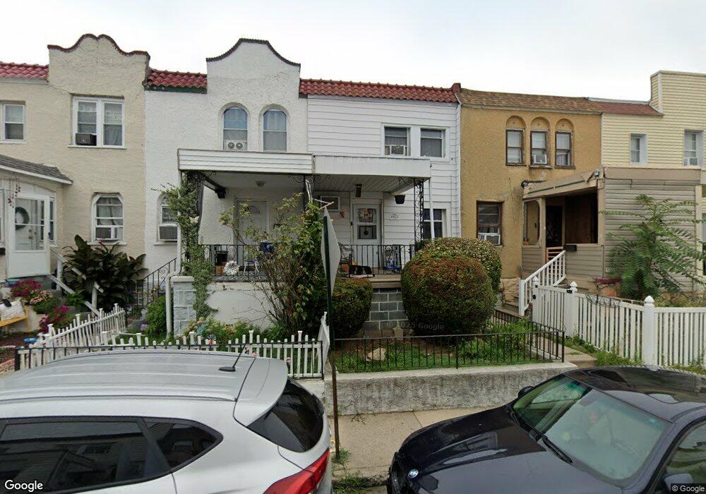
6955 Clinton Rd Upper Darby, PA 19082
Estimated Value: $121,000 - $134,000
2
Beds
1
Bath
896
Sq Ft
$140/Sq Ft
Est. Value
About This Home
This home is located at 6955 Clinton Rd, Upper Darby, PA 19082 and is currently estimated at $125,693, approximately $140 per square foot. 6955 Clinton Rd is a home located in Delaware County with nearby schools including Upper Darby Kdg Center, Upper Darby High School, and Vision Academy Charter School.
Ownership History
Date
Name
Owned For
Owner Type
Purchase Details
Closed on
Sep 28, 2011
Sold by
Estate Of Rose E Heavens
Bought by
Calister Sharon Hannibal
Current Estimated Value
Home Financials for this Owner
Home Financials are based on the most recent Mortgage that was taken out on this home.
Original Mortgage
$49,707
Outstanding Balance
$34,146
Interest Rate
4.25%
Mortgage Type
FHA
Estimated Equity
$91,547
Create a Home Valuation Report for This Property
The Home Valuation Report is an in-depth analysis detailing your home's value as well as a comparison with similar homes in the area
Home Values in the Area
Average Home Value in this Area
Purchase History
| Date | Buyer | Sale Price | Title Company |
|---|---|---|---|
| Calister Sharon Hannibal | $51,000 | None Available |
Source: Public Records
Mortgage History
| Date | Status | Borrower | Loan Amount |
|---|---|---|---|
| Open | Calister Sharon Hannibal | $49,707 |
Source: Public Records
Tax History Compared to Growth
Tax History
| Year | Tax Paid | Tax Assessment Tax Assessment Total Assessment is a certain percentage of the fair market value that is determined by local assessors to be the total taxable value of land and additions on the property. | Land | Improvement |
|---|---|---|---|---|
| 2025 | $2,587 | $61,160 | $13,720 | $47,440 |
| 2024 | $2,587 | $61,160 | $13,720 | $47,440 |
| 2023 | $2,562 | $61,160 | $13,720 | $47,440 |
| 2022 | $2,493 | $61,160 | $13,720 | $47,440 |
| 2021 | $3,362 | $61,160 | $13,720 | $47,440 |
| 2020 | $2,697 | $41,700 | $12,470 | $29,230 |
| 2019 | $2,650 | $41,700 | $12,470 | $29,230 |
| 2018 | $2,620 | $41,700 | $0 | $0 |
| 2017 | $2,551 | $41,700 | $0 | $0 |
| 2016 | $229 | $41,700 | $0 | $0 |
| 2015 | $229 | $41,700 | $0 | $0 |
| 2014 | $229 | $41,700 | $0 | $0 |
Source: Public Records
Map
Nearby Homes
- 6982 Clinton Rd
- 7066 Clover Ln
- 7000 Greenwood Ave
- 6858 Clover Ln
- 7155 Radbourne Rd
- 7162 Radbourne Rd
- 525 Wiltshire Rd
- 517 Wiltshire Rd
- 7123 Seaford Rd
- 607 Littlecroft Rd
- 607 Briarcliff Rd
- 703 Briarcliff Rd
- 669 Long Ln
- 7026 Atlantic Ave
- 513 Woodcliffe Rd
- 504 Woodcliffe Rd
- 7139 Guilford Rd
- 121 Beverly Ave
- 424 Woodcliffe Rd
- 404 Croyden Rd
- 6957 Clinton Rd
- 6953 Clinton Rd
- 6951 Clinton Rd
- 6959 Clinton Rd
- 6961 Clinton Rd
- 6949 Clinton Rd
- 6963 Clinton Rd
- 6946 Guilford Rd
- 6956 Aberdeen Rd
- 6958 Aberdeen Rd
- 6954 Aberdeen Rd
- 6952 Aberdeen Rd
- 6945 Clinton Rd
- 6962 Aberdeen Rd
- 6965 Clinton Rd
- 6950 Aberdeen Rd
- 6964 Aberdeen Rd
- 6967 Clinton Rd
- 6943 Clinton Rd
- 6947 Clinton Rd