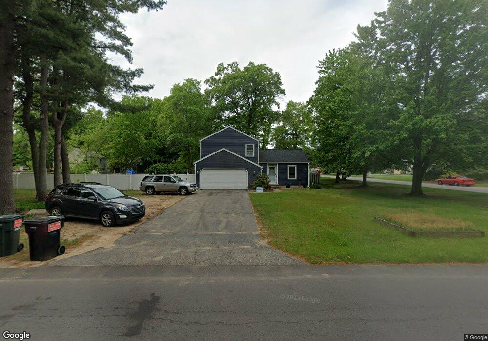
6959 Gettysburg Dr Hudsonville, MI 49426
Estimated Value: $352,371 - $395,000
3
Beds
2
Baths
1,900
Sq Ft
$196/Sq Ft
Est. Value
About This Home
This home is located at 6959 Gettysburg Dr, Hudsonville, MI 49426 and is currently estimated at $373,343, approximately $196 per square foot. 6959 Gettysburg Dr is a home located in Ottawa County with nearby schools including Baldwin Street Middle School, Hudsonville Freshman Campus, and Hudsonville High School.
Ownership History
Date
Name
Owned For
Owner Type
Purchase Details
Closed on
Sep 27, 2007
Sold by
Bosma Timothy D and Bosma Grace H
Bought by
Somsel John I and Somsel Alissa M
Current Estimated Value
Home Financials for this Owner
Home Financials are based on the most recent Mortgage that was taken out on this home.
Original Mortgage
$147,500
Outstanding Balance
$93,717
Interest Rate
6.55%
Mortgage Type
Purchase Money Mortgage
Estimated Equity
$279,626
Create a Home Valuation Report for This Property
The Home Valuation Report is an in-depth analysis detailing your home's value as well as a comparison with similar homes in the area
Home Values in the Area
Average Home Value in this Area
Purchase History
| Date | Buyer | Sale Price | Title Company |
|---|---|---|---|
| Somsel John I | $147,500 | Metropolitan Title Company |
Source: Public Records
Mortgage History
| Date | Status | Borrower | Loan Amount |
|---|---|---|---|
| Open | Somsel John I | $147,500 |
Source: Public Records
Tax History Compared to Growth
Tax History
| Year | Tax Paid | Tax Assessment Tax Assessment Total Assessment is a certain percentage of the fair market value that is determined by local assessors to be the total taxable value of land and additions on the property. | Land | Improvement |
|---|---|---|---|---|
| 2025 | $2,558 | $146,600 | $0 | $0 |
| 2024 | $2,213 | $150,200 | $0 | $0 |
| 2023 | $2,114 | $136,600 | $0 | $0 |
| 2022 | $2,019 | $112,200 | $0 | $0 |
| 2021 | $1,962 | $101,000 | $0 | $0 |
| 2020 | $1,941 | $93,700 | $0 | $0 |
| 2019 | $1,944 | $85,100 | $0 | $0 |
| 2018 | $1,812 | $76,600 | $0 | $0 |
| 2017 | $1,779 | $76,500 | $0 | $0 |
| 2016 | $1,769 | $73,700 | $0 | $0 |
| 2015 | $1,688 | $70,700 | $0 | $0 |
| 2014 | $1,688 | $67,000 | $0 | $0 |
Source: Public Records
Map
Nearby Homes
- 6863 Bridgeport Dr
- 6821 Bridgeport Dr
- 4101 Blair St
- 4106 Blair St
- 6950 Meadowcreek Dr
- 7068 Jasper Dr
- 4087 Baldwin St
- 0 Baldwin St
- 6584 Moss Lake Dr
- 6530 Van Dam Ave Unit 3
- 6561 Van Dam Ave
- 6500 Van Dam Ave Unit 1
- 6533 Moss Lake Dr
- 3808 Port Sheldon St
- 3617 Teton Dr
- 3646 Lenters Dr
- 6207 Gemini Ct
- 3528 Tearose Dr
- 4663 Hidden Ridge Dr Unit lot 38
- 6324 Blendon Woods Dr Unit 21
- 4376 Crestlane Dr
- 6933 Gettysburg Dr
- 4332 Crestlane Dr
- 4381 Stratford Ct
- 4392 Crestlane Dr
- 6989 Gettysburg Dr
- 4377 Crestlane Dr
- 6990 Gettysburg Dr
- 4408 Crestlane Dr
- 4393 Crestlane Dr
- 4389 Stratford Ct
- 6930 Gettysburg Dr
- 4352 Stratford Ct
- 4312 Crestlane Dr
- 4362 Gettysburg Ct
- 4382 Stratford Ct
- 6914 Gettysburg Dr
- 4409 Crestlane Dr
- 4424 Crestlane Dr
- 4397 Stratford Ct