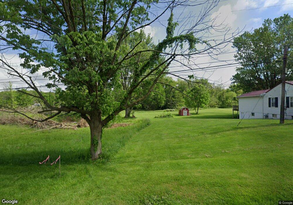
6959 State Route 124 Hillsboro, OH 45133
Estimated Value: $55,397 - $95,000
3
Beds
1
Bath
1,000
Sq Ft
$74/Sq Ft
Est. Value
About This Home
This home is located at 6959 State Route 124, Hillsboro, OH 45133 and is currently estimated at $74,099, approximately $74 per square foot. 6959 State Route 124 is a home located in Highland County with nearby schools including Hillsboro Primary School, Hillsboro Middle School, and Hillsboro High School.
Ownership History
Date
Name
Owned For
Owner Type
Purchase Details
Closed on
Jul 22, 2024
Sold by
Dancefield Properties Llc
Bought by
Brown Dacoda
Current Estimated Value
Purchase Details
Closed on
Jul 19, 2024
Sold by
Dancefield Properties Llc
Bought by
Jordan Joseph and Jordan Jessica M
Purchase Details
Closed on
Nov 30, 2023
Sold by
Mccollister Paul
Bought by
Dancefield Properties Llc
Purchase Details
Closed on
Jul 24, 2017
Sold by
Mccollister Paul E
Bought by
Mccollister Paul
Purchase Details
Closed on
Sep 22, 1998
Sold by
Tedd Michael A
Bought by
Mccollister Paul E and Mccollister Carolyn
Purchase Details
Closed on
Jan 1, 1990
Bought by
Tidd Michael A
Create a Home Valuation Report for This Property
The Home Valuation Report is an in-depth analysis detailing your home's value as well as a comparison with similar homes in the area
Home Values in the Area
Average Home Value in this Area
Purchase History
| Date | Buyer | Sale Price | Title Company |
|---|---|---|---|
| Brown Dacoda | $166 | None Listed On Document | |
| Brown Dacoda | $166 | None Listed On Document | |
| Jordan Joseph | $65,000 | None Listed On Document | |
| Jordan Joseph | $65,000 | None Listed On Document | |
| Dancefield Properties Llc | $69,900 | None Listed On Document | |
| Dancefield Properties Llc | $69,900 | None Listed On Document | |
| Mccollister Paul | -- | -- | |
| Mccollister Paul E | $45,000 | -- | |
| Tidd Michael A | -- | -- |
Source: Public Records
Tax History Compared to Growth
Tax History
| Year | Tax Paid | Tax Assessment Tax Assessment Total Assessment is a certain percentage of the fair market value that is determined by local assessors to be the total taxable value of land and additions on the property. | Land | Improvement |
|---|---|---|---|---|
| 2024 | $651 | $18,520 | $18,520 | $0 |
| 2023 | $651 | $25,630 | $25,380 | $250 |
| 2022 | $991 | $25,630 | $25,380 | $250 |
| 2021 | $950 | $25,630 | $25,380 | $250 |
| 2020 | $723 | $21,350 | $21,140 | $210 |
| 2019 | $704 | $21,350 | $21,140 | $210 |
| 2018 | $694 | $21,350 | $21,140 | $210 |
| 2017 | $659 | $20,100 | $19,920 | $180 |
| 2016 | $661 | $20,100 | $19,920 | $180 |
| 2015 | $691 | $20,100 | $19,920 | $180 |
| 2014 | $723 | $20,100 | $19,920 | $180 |
| 2013 | $724 | $20,100 | $19,920 | $180 |
Source: Public Records
Map
Nearby Homes
- 63 Willettsville Pike
- 7049 Pea Ridge Ct
- 129 Lanewood Dr
- 147 W Main St
- 6805 Pea Ridge Rd
- 0 Highway 50 Unit 1857481
- 129 Vaughn Ave
- 7615 Pea Ridge Rd Unit B
- 7615 Pea Ridge Rd Unit A
- 7615 Pea Ridge Rd
- 7619 Pea Ridge Rd Unit A
- 7619 Pea Ridge Rd
- 222 John St
- 337 N West St
- 508 N West St
- 115 Terrace Ave
- 144 Springlake Ave
- 640 N West St
- 116 Meadow Ln
- 119 S West St
- 6954 State Route 124
- 6980 State Route 124
- 6980 State Route 124
- 6972 State Route 124
- 6975 State Route 124
- 6975 State Route 124
- 6989 State Route 124
- 6989 St Rt 124
- 6990 State Route 124
- 6960 Ohio 124
- 6960 State Route 124
- 6960 State Route 124
- 101 Maple Run Dr
- 6994 State Route 124
- 103 Maple Run Dr
- 105 Maple Run Dr
- 107 Maple Run Dr
- 109 Maple Run Dr
- 117 Maple Run Dr
- 7002 State Route 124