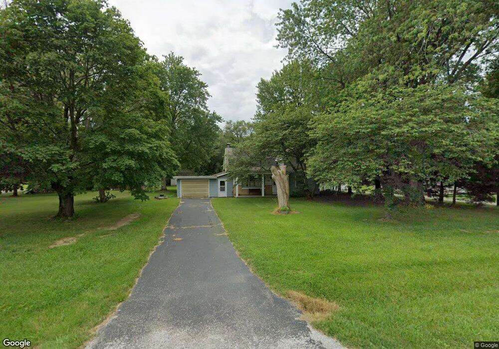
696 E 2700 North Rd Moweaqua, IL 62550
Estimated Value: $138,503 - $183,000
3
Beds
2
Baths
1,020
Sq Ft
$153/Sq Ft
Est. Value
About This Home
This home is located at 696 E 2700 North Rd, Moweaqua, IL 62550 and is currently estimated at $156,126, approximately $153 per square foot. 696 E 2700 North Rd is a home located in Shelby County with nearby schools including Central A&M High School.
Ownership History
Date
Name
Owned For
Owner Type
Purchase Details
Closed on
Apr 17, 2025
Sold by
Hays Linda L
Bought by
Neece Michael B
Current Estimated Value
Home Financials for this Owner
Home Financials are based on the most recent Mortgage that was taken out on this home.
Original Mortgage
$91,675
Outstanding Balance
$53,543
Interest Rate
0.59%
Mortgage Type
New Conventional
Estimated Equity
$102,583
Create a Home Valuation Report for This Property
The Home Valuation Report is an in-depth analysis detailing your home's value as well as a comparison with similar homes in the area
Purchase History
| Date | Buyer | Sale Price | Title Company |
|---|---|---|---|
| Neece Michael B | $50,000 | Attorney Only |
Source: Public Records
Mortgage History
| Date | Status | Borrower | Loan Amount |
|---|---|---|---|
| Open | Neece Michael B | $91,675 |
Source: Public Records
Tax History
| Year | Tax Paid | Tax Assessment Tax Assessment Total Assessment is a certain percentage of the fair market value that is determined by local assessors to be the total taxable value of land and additions on the property. | Land | Improvement |
|---|---|---|---|---|
| 2024 | $2,903 | $39,212 | $9,137 | $30,075 |
| 2023 | $1,875 | $35,859 | $8,356 | $27,503 |
| 2022 | $1,348 | $32,665 | $7,612 | $25,053 |
| 2021 | $1,360 | $31,166 | $7,263 | $23,903 |
| 2020 | $1,588 | $31,166 | $7,263 | $23,903 |
| 2019 | $1,588 | $31,166 | $7,263 | $23,903 |
| 2018 | $1,404 | $28,943 | $6,745 | $22,198 |
| 2017 | $1,428 | $28,943 | $6,745 | $22,198 |
| 2016 | $1,428 | $28,943 | $6,745 | $22,198 |
| 2015 | -- | $28,943 | $6,745 | $22,198 |
| 2014 | -- | $28,943 | $6,745 | $22,198 |
| 2013 | -- | $28,943 | $6,745 | $22,198 |
Source: Public Records
Map
Nearby Homes
- 405 S Shelby St
- 321 E South St
- 210 S East St
- 327 E Wall St
- 241 W Main St
- 229 W Madison St
- 316 N Putnam St
- 333 N Macon St
- 803 N Putnam St
- 325 N Poplar St
- 324 N Oak St
- 225 E North St
- 107 S Oak St
- 280 W Dunn St
- Lot 6 Baxmeyer Ln
- Lot 14 Baxmeyer Ln
- Lot 4 Baxmeyer Ln
- Lot 8 Baxmeyer Ln
- Lot 2 Baxmeyer Ln
- Lot 12 Baxmeyer Ln
- 694 E 2700 North Rd
- 698 E 2700 North Rd
- 2698 N 690 East Rd
- 2696 N 690 East Rd
- 2699 N 690 East Rd
- 2697 N 690 East Rd
- 2694 N 690 East Rd
- 702 E 2700 North Rd
- 2695 N 690 East Rd
- 706 E 2700 North Rd
- 680 E 2700 North Rd
- 701 E 2685 North Rd
- 701 E 2685 Rd
- 678 E 2700 North Rd
- 712 E 2700 North Rd
- 703 E 2685 North Rd
- 716 E 2700 North Rd
- 702 E 2685 North Rd
- 705 E 2685 North Rd
- 704 E 2685 North Rd
Your Personal Tour Guide
Ask me questions while you tour the home.