696 Fort Pond Rd Lancaster, MA 01523
Estimated Value: $6,144,408
--
Bed
--
Bath
--
Sq Ft
118
Acres
About This Home
This home is located at 696 Fort Pond Rd, Lancaster, MA 01523 and is currently estimated at $6,144,408. 696 Fort Pond Rd is a home located in Worcester County with nearby schools including Mary Rowlandson Elementary School, Luther Burbank Middle School, and Nashoba Regional High School.
Create a Home Valuation Report for This Property
The Home Valuation Report is an in-depth analysis detailing your home's value as well as a comparison with similar homes in the area
Home Values in the Area
Average Home Value in this Area
Tax History Compared to Growth
Tax History
| Year | Tax Paid | Tax Assessment Tax Assessment Total Assessment is a certain percentage of the fair market value that is determined by local assessors to be the total taxable value of land and additions on the property. | Land | Improvement |
|---|---|---|---|---|
| 2025 | $5,578 | $345,200 | $188,800 | $156,400 |
| 2024 | $6,027 | $345,200 | $188,800 | $156,400 |
| 2023 | $5,934 | $345,200 | $188,800 | $156,400 |
| 2022 | $6,714 | $345,200 | $188,800 | $156,400 |
| 2021 | $6,897 | $345,200 | $188,800 | $156,400 |
| 2020 | $6,852 | $345,200 | $188,800 | $156,400 |
| 2019 | $6,818 | $345,200 | $188,800 | $156,400 |
| 2018 | $6,897 | $345,200 | $188,800 | $156,400 |
| 2016 | $10,440 | $534,000 | $377,600 | $156,400 |
| 2015 | $10,018 | $534,000 | $377,600 | $156,400 |
| 2014 | $10,098 | $534,000 | $377,600 | $156,400 |
Source: Public Records
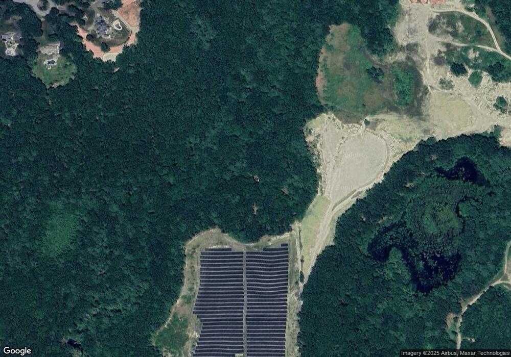
Map
Nearby Homes
- 95 Old Union Turnpike
- 7 Lawson Ave
- 0 Windsor Rd
- 27 Lancaster Rd
- 35 Mcgovern Blvd
- 1497 Lunenburg Rd
- 3 Mill St
- 25 Front St
- 30 Ayer Rd
- 40 Ayer Rd
- 3 Ambrose Way Unit 3
- 6 Ambrose Way Unit 3
- 19 Ambrose Way Unit 19
- 9 Ambrose Way Unit 9
- 1 Ambrose Way Unit 1
- 7 Ambrose Way Unit 5
- 4 Ambrose Way Unit 4
- 5 Ambrose Way Unit 5
- 13 Ambrose Way Unit 13
- 50 Sky Ln