696 S West Bend Point Lecanto, FL 34461
Estimated Value: $311,000 - $442,000
4
Beds
2
Baths
1,914
Sq Ft
$195/Sq Ft
Est. Value
About This Home
This home is located at 696 S West Bend Point, Lecanto, FL 34461 and is currently estimated at $374,084, approximately $195 per square foot. 696 S West Bend Point is a home located in Citrus County with nearby schools including Rock Crusher Elementary School, Crystal River High School, and Crystal River Middle School.
Ownership History
Date
Name
Owned For
Owner Type
Purchase Details
Closed on
Aug 14, 2023
Sold by
Adams Robert J
Bought by
Adams Robert J and Anderson Jean Marie
Current Estimated Value
Purchase Details
Closed on
Oct 1, 1986
Bought by
Adams Robert J and Adams Pamela
Purchase Details
Closed on
May 1, 1984
Bought by
Adams Robert J and Adams Pamela
Purchase Details
Closed on
Feb 1, 1980
Bought by
Adams Robert J and Adams Pamela
Purchase Details
Closed on
May 1, 1977
Bought by
Adams Robert J and Adams Pamela
Create a Home Valuation Report for This Property
The Home Valuation Report is an in-depth analysis detailing your home's value as well as a comparison with similar homes in the area
Home Values in the Area
Average Home Value in this Area
Purchase History
| Date | Buyer | Sale Price | Title Company |
|---|---|---|---|
| Adams Robert J | $100 | None Listed On Document | |
| Adams Robert J | $100 | None Listed On Document | |
| Adams Robert J | $100 | -- | |
| Adams Robert J | $26,500 | -- | |
| Adams Robert J | $16,300 | -- | |
| Adams Robert J | $6,000 | -- |
Source: Public Records
Tax History Compared to Growth
Tax History
| Year | Tax Paid | Tax Assessment Tax Assessment Total Assessment is a certain percentage of the fair market value that is determined by local assessors to be the total taxable value of land and additions on the property. | Land | Improvement |
|---|---|---|---|---|
| 2024 | $1,225 | $115,028 | -- | -- |
| 2023 | $1,225 | $111,678 | $0 | $0 |
| 2022 | $1,146 | $108,425 | $0 | $0 |
| 2021 | $1,099 | $105,267 | $0 | $0 |
| 2020 | $1,034 | $150,915 | $29,110 | $121,805 |
| 2019 | $1,016 | $149,191 | $29,110 | $120,081 |
| 2018 | $985 | $132,690 | $29,100 | $103,590 |
| 2017 | $977 | $97,540 | $32,010 | $65,530 |
| 2016 | $982 | $95,534 | $23,540 | $71,994 |
| 2015 | $992 | $94,870 | $32,820 | $62,050 |
| 2014 | $1,008 | $94,117 | $35,070 | $59,047 |
Source: Public Records
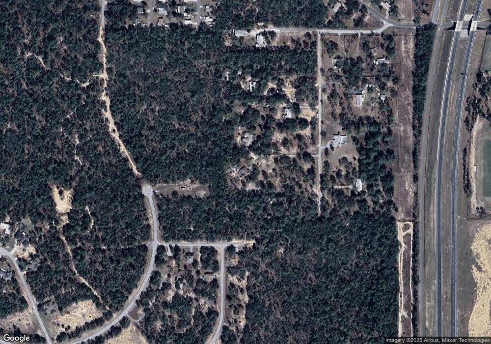
Map
Nearby Homes
- 5042 W Southern St
- 315 S Honey Bear Way
- 290 S Spice Wood Terrace
- 285 S Spice Wood Terrace
- 270 S Honey Bear Way
- 5507 W Paprika Loop
- 620 S Fairlane Terrace
- 4610 W Southern St
- 5825 W Cinnamon Ridge Dr
- 835 S Rosemary Point
- 5072 W Kristina Loop
- 65 N Leafland Point
- 63 N Youngtree Point
- 30 N Aspen Point
- 5420 W Heather Ridge Path
- 222 N Mesquite Point
- 5694 W Hunters Ridge Cir
- 258 N Mesquite Point
- 5430 W Tortuga Loop
- 5317 W Tortuga Loop
- 648 S West Bend Point
- 740 S West Bend Point
- 610 S West Bend Point
- 5280 W Vanilla Loop
- 5322 W Vanilla Loop
- 649 S West Bend Point
- 5237 W Paprika Loop
- 705 S West Bend Point
- 5344 W Vanilla Loop
- 5100 W Southern St
- 485 S Cinnamon Terrace
- 5400 W Cinnamon Dr N
- 471 S Cinnamon Terrace
- 477 S Honey Bear Way
- 800 S Montas Terrace
- 490 S Honey Bear Way
- 5070 W Rolling View Place
- 5110 W Rolling View Place
- 476 S Honey Bear Way