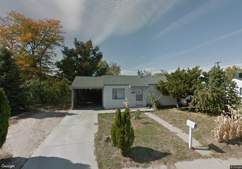
6961 Newport St Commerce City, CO 80022
Kemp NeighborhoodEstimated Value: $302,549 - $358,000
2
Beds
1
Bath
660
Sq Ft
$509/Sq Ft
Est. Value
About This Home
This home is located at 6961 Newport St, Commerce City, CO 80022 and is currently estimated at $335,887, approximately $508 per square foot. 6961 Newport St is a home located in Adams County with nearby schools including Kemp Elementary School, Kearney Middle School, and Adams City High School.
Ownership History
Date
Name
Owned For
Owner Type
Purchase Details
Closed on
Jan 16, 2004
Sold by
Katzele Cora A and Carlson Doris W
Bought by
Garfio Francisco
Current Estimated Value
Home Financials for this Owner
Home Financials are based on the most recent Mortgage that was taken out on this home.
Original Mortgage
$107,315
Interest Rate
5.68%
Mortgage Type
FHA
Purchase Details
Closed on
Oct 24, 2003
Sold by
Katzele Cora A
Bought by
Katzele Cora A and Carlson Doris W
Create a Home Valuation Report for This Property
The Home Valuation Report is an in-depth analysis detailing your home's value as well as a comparison with similar homes in the area
Home Values in the Area
Average Home Value in this Area
Purchase History
| Date | Buyer | Sale Price | Title Company |
|---|---|---|---|
| Garfio Francisco | $109,000 | -- | |
| Katzele Cora A | -- | -- |
Source: Public Records
Mortgage History
| Date | Status | Borrower | Loan Amount |
|---|---|---|---|
| Previous Owner | Garfio Francisco | $107,315 |
Source: Public Records
Tax History Compared to Growth
Tax History
| Year | Tax Paid | Tax Assessment Tax Assessment Total Assessment is a certain percentage of the fair market value that is determined by local assessors to be the total taxable value of land and additions on the property. | Land | Improvement |
|---|---|---|---|---|
| 2024 | $1,779 | $19,190 | $5,310 | $13,880 |
| 2023 | $1,565 | $21,720 | $5,750 | $15,970 |
| 2022 | $1,545 | $17,190 | $5,770 | $11,420 |
| 2021 | $1,567 | $17,190 | $5,770 | $11,420 |
| 2020 | $1,359 | $15,080 | $5,010 | $10,070 |
| 2019 | $1,356 | $15,080 | $5,010 | $10,070 |
| 2018 | $1,045 | $11,320 | $4,460 | $6,860 |
| 2017 | $992 | $11,320 | $4,460 | $6,860 |
| 2016 | $680 | $7,500 | $2,230 | $5,270 |
| 2015 | $693 | $7,500 | $2,230 | $5,270 |
| 2014 | $558 | $6,020 | $1,830 | $4,190 |
Source: Public Records
Map
Nearby Homes
- 6980 Niagara St
- 6601 E 71st Ave
- 7131 Pontiac St
- 6420 E 68th Ave
- 7165 E 72nd Place
- 6751 Leyden St
- 7050 Kearney Ct
- 6721 Leyden St
- 6711 Leyden St
- 6625 Locust St
- 6641 E 73rd Place
- 6560 Porter Way
- 0 Lot 2 Unit REC2976963
- 6251 E 66th Place
- 5971 E 69th Ave
- 5971 E 69th Ave Unit 21
- 7075 Garden Ln
- 6446 Monaco St
- 7461 Locust St
- 5680 E 67th Ave
- 6951 Newport St
- 6960 Niagara St
- 6970 Niagara St
- 6950 Niagara St
- 6950 Newport St
- 6981 Newport St
- 6980 Newport St
- 6961 Olive St
- 6945 Olive St
- 6990 Newport St
- 6951 Olive St
- 6981 Niagara St
- 6991 Newport St
- 6981 Olive St
- 6990 Niagara St
- 6920 Niagara St
- 6996 Newport St
- 6961 Niagara St
- 6971 Niagara St
- 6951 Niagara St